Except the Vichères rando parc, these routes are neither marked nor secure. Anyone using ski touring routes is solely responsible for their own actions. Pays du St-Bernard declines all responsibility in the event of an accident and gives no guarantee as to the topicality, accuracy or completeness of the information provided.
Be accompanied by a certified mountain guide. Find their contact details on here.
Consult the avalanche bulletin by clicking here!
The classic ski touring route par excellence. In five to six days, you go from one mountaineering metropolis to another.
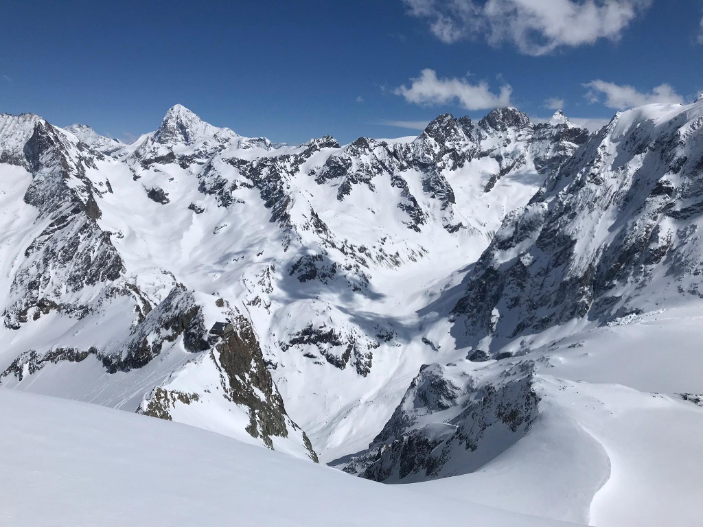
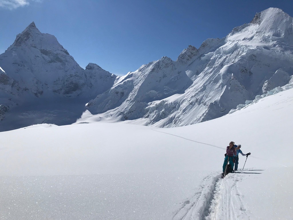
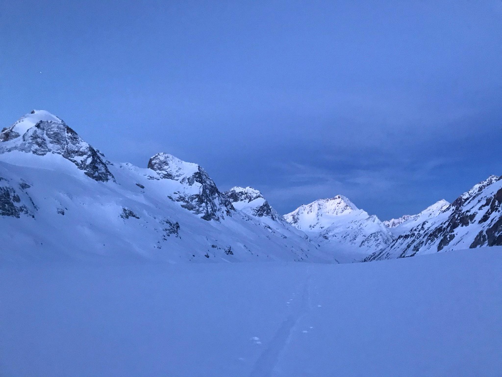
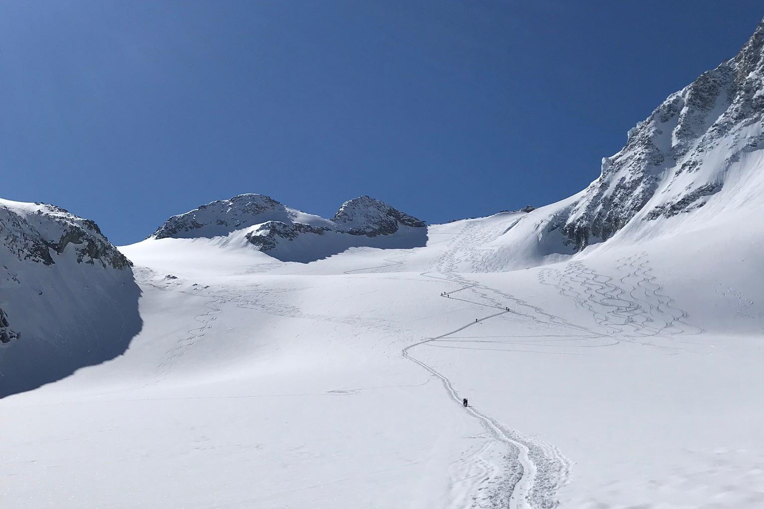
Chamonix and Zermatt: two names that make any mountaineer’s heart beat faster and can be connected by a multi-day ski tour. Every day starts early in the morning, often in the dark. Tough ascents and magnificent descents await, requiring physical and mental endurance. Surrounded by the highest mountains of the Alps, you move from hut to hut, enjoying a unique experience.
- The classic among ski tours
- From hut to hut
- Surrounded by the highest mountains of the Alps
Itinerary
Best period to go there
Prestations
Author\s note
The Haute Route is a long route where you spend several days in the high mountains away from civilization. Stable weather, experience in high mountain terrain, and careful preparation are indispensable.
Directions
1st stage
Aiguille des Grands Montets – Glacier d’Argentière – Glacier du Chardonnet – Col du Chardonnet – Fenêtre du Saleinaz – Plateau du Trient – Cabane du Trient
2nd stage
Cabane du Trient – Col des Ecandies – Val d’Arpette – Champex – Verbier (taxi) – Cabane du Mont Fort (cable car)
3rd stage
Cabane du Mont Fort – Col de la Chaux – Col de Moming – Rosablanche – Cabane de Prafleuri
4th stage
Cabane de Prafleuri – Col de Roux – La Barma – Lac des Dix – Cabane des Dix
5th stage
Cabane des Dix – Col de la Serpentine – Pigne d’Arolla – Cabane des Vignettes
6th stage
Cabane des Vignettes – Col de l’Evèque – Col du Mont Brulé – Col de Valpelline – Zermatt
The information for the route (distance, duration, ascent and descent) also include the section Orsière–Verbier–Mont Fort, which is covered by taxi and cable cars.
We recommend booking a local mountain guide for this route.
Getting there
Zermatt is car-free. Access for private vehicles is only permitted up to Täsch (5 km before Zermatt). The road from Täsch to Zermatt is closed to public traffic.
Further travel to Zermatt is either via private taxi service or shuttle trains. The trains run every 20 minutes. After approximately 12 minutes, the journey ends at the station square in Zermatt.
In Täsch there are parking garages with covered and uncovered spaces, such as at the Matterhorn Terminal or with private providers.
Further travel: see arrival instructions.
By train to the Matterhorn village: 3½ hours from Zurich airport or 4 hours from Geneva airport. Visp is the transfer station to the Matterhorn Gotthard Railway. From Visp, the railway runs through the Nikolai Valley, past small, idyllic villages to Zermatt.
Zermatt is also the start or end point of the world-famous Glacier Express panoramic train journey (St. Moritz / Davos – Zermatt).