

The «Via Francigena» is one of the 3 Christian pilgrimage routes of the Middle Ages, whose main axis leads from Canterbury in England to Rome. This documentation initially covers the section from Pontarlier to Rome.
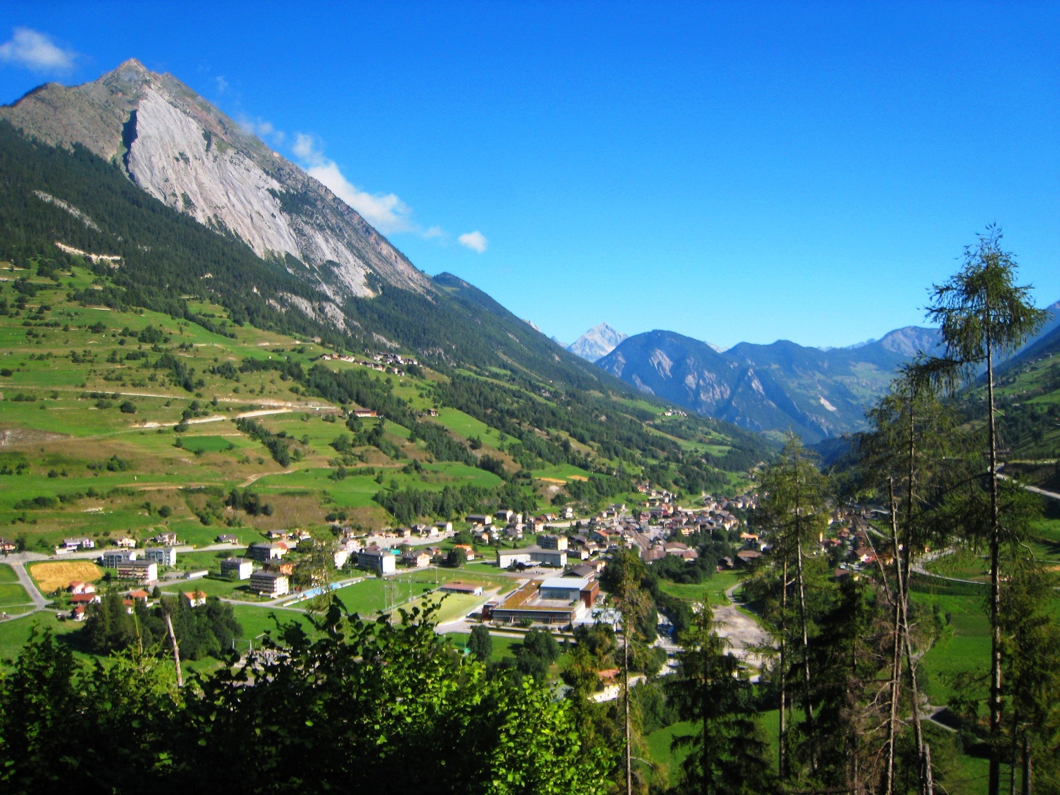
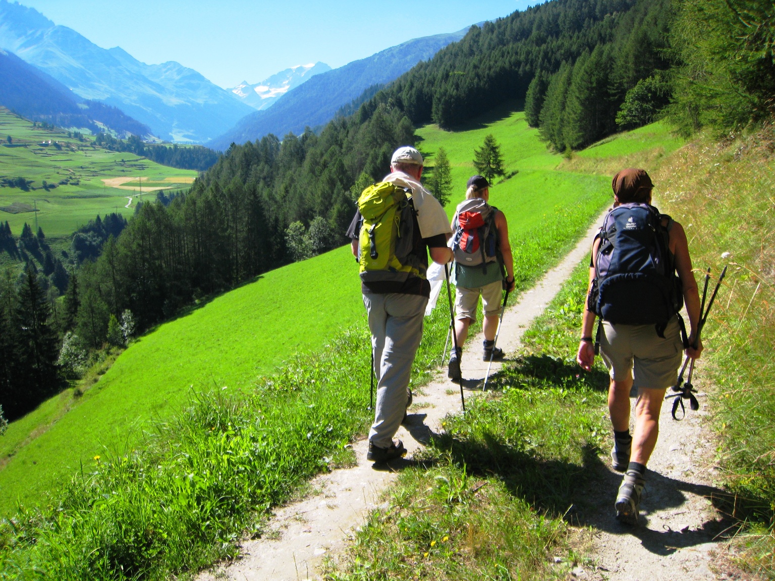
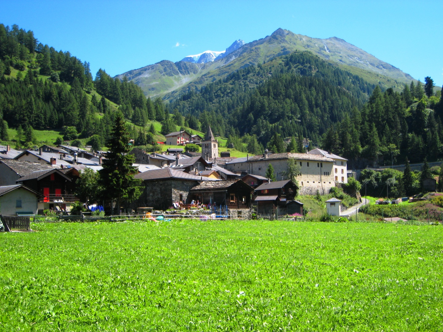
This stage takes us largely along the Dranse d´Entremont uphill to Bourg-Saint-Pierre, the last stage location before the highest point of this hike, the Great St. Bernard Pass. Also on this stage, the steepest part of the ascent is shortly after the start, because once we have reached Montatuay, it becomes flatter again, and the climbs thus less strenuous.
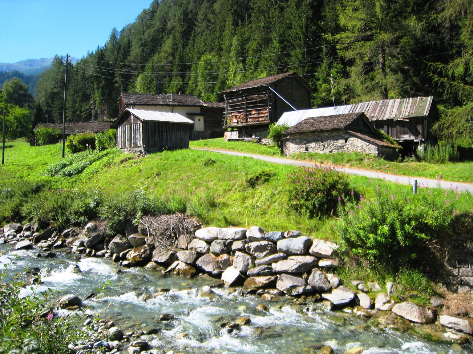
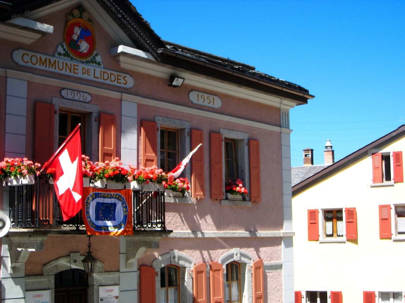
The higher we climb, the less water the Dranse d´Entremont carries. Shortly after Orsières, the water from the Dranse de Ferret is already missing. Before Liddes, the only larger place on today’s section, we cross the side stream with the long name «A», or to put it more understandably, the mountain stream «Torrent de l´A», which comes from the side valley «Combe de l´A». Once in Liddes, we still need about an hour to the stage location Bourg-Saint-Pierre.
Itinerary
Best period to go there
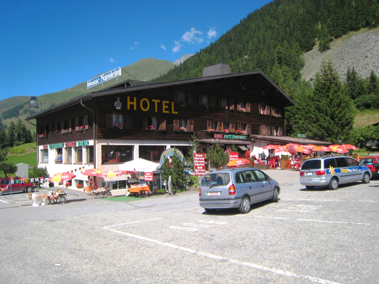
Prestations
Author\s note
The stages in this documentation are suggestions that each pilgrim can adapt according to their wishes. However, the technical data always assume that these stages are completed in one day each.
Directions
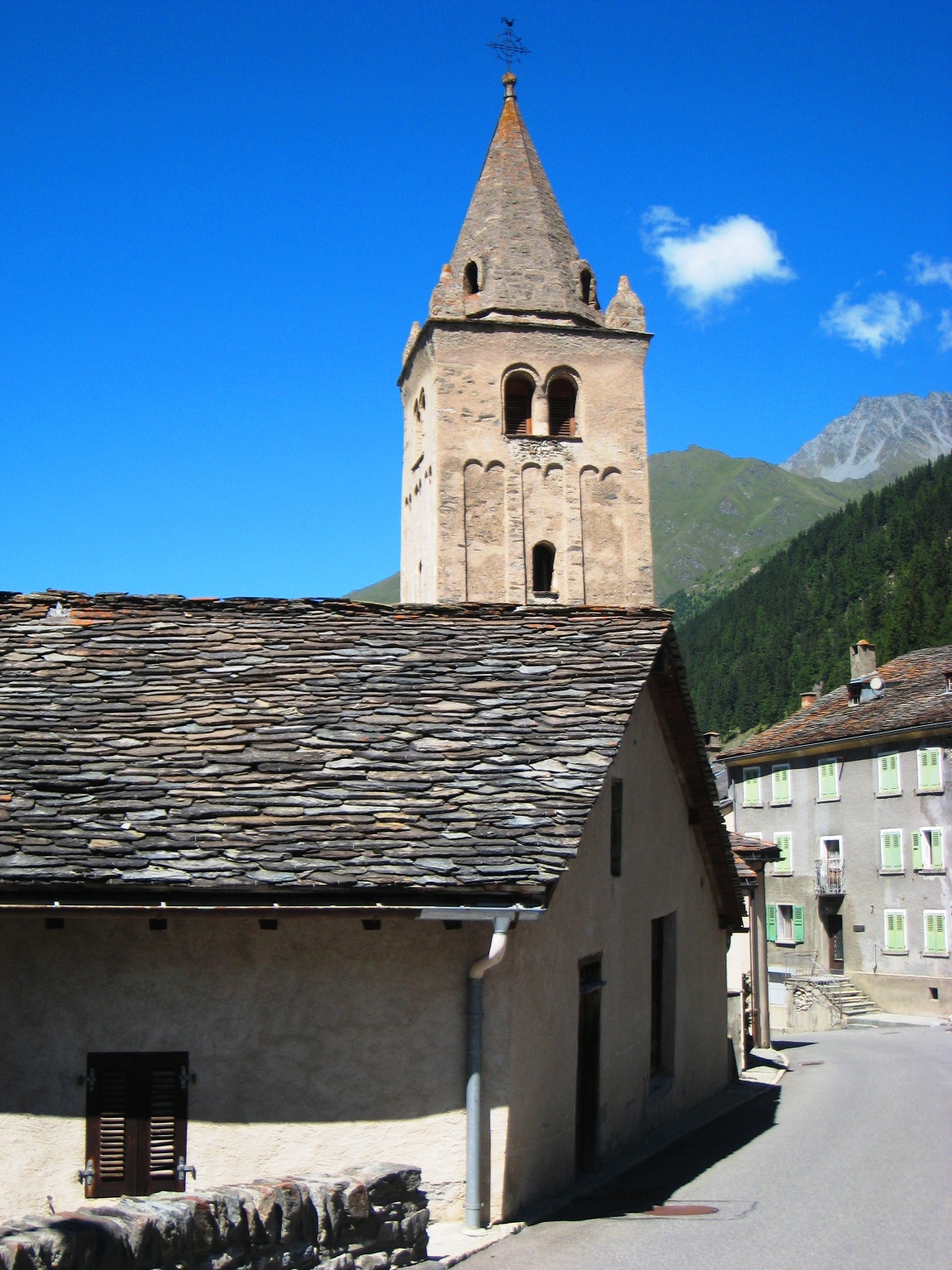
Orsières – Montatuay – Fornex – Drance – Liddes – Palasuit – Bourg-Saint-Pierre