The "Via Francigena" is one of the 3 Christian pilgrimage routes of the Middle Ages, whose main axis leads from Canterbury in England to Rome. This documentation initially covers the section from Pontarlier to Rome.
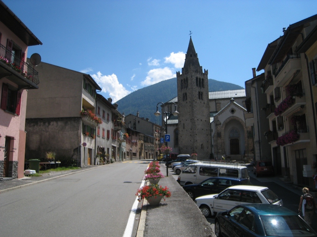
With this stage, we first end the flat sections and follow the valley of the Dranse into the Alps. A Roman amphitheater at the edge of Martigny (just before Le Bourg) shows us that the Romans already used this Alpine crossing.
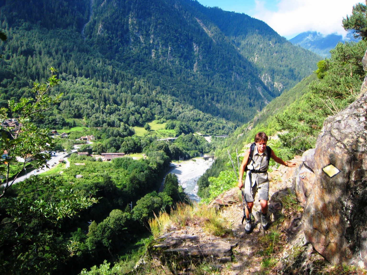
We hike southwards along the Vita route and further on the footpath along the railway on the route marked as Via Francigena/70. At the height of “Le Borgeaud” the bridge to the other side of the Dranse has collapsed. Until its replacement, we climb steeply on the right bank up a descending slope to a rocky high path, which later leads down to the Dranse again near Bovernier. However, this particular section is only passable for experienced alpine pilgrims and is considered by many pilgrims to be the “most dangerous section between Canterbury and Rome” (see therefore the alternative “Chemin Dessus” proposed by AIVF).
Itinerary
Best period to go there
Prestations
Author\s note
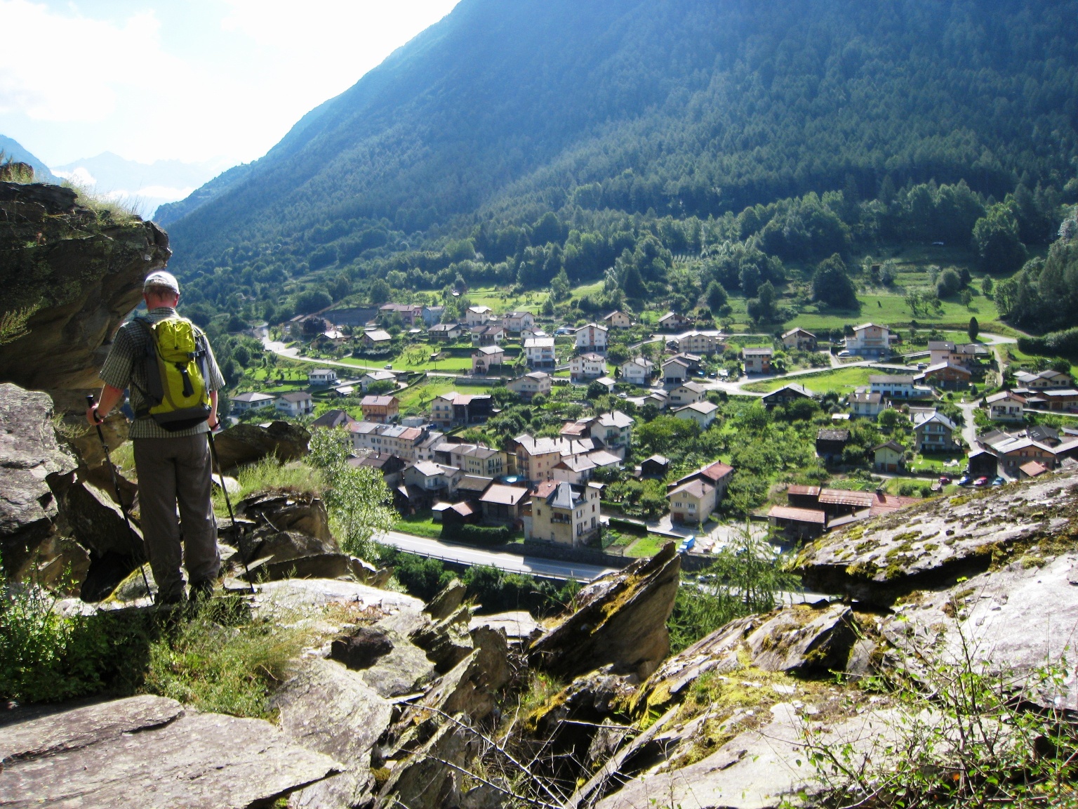
From Sembrancher onwards, the heartbeat can then be adjusted again to the pulse of a “normal” mountain hike.
Directions
Martigny – Le Bourg – La Croix – Bovernier – Sembrancher – La Douay – Orsières