Discover a place that has not yet revealed all its secrets...
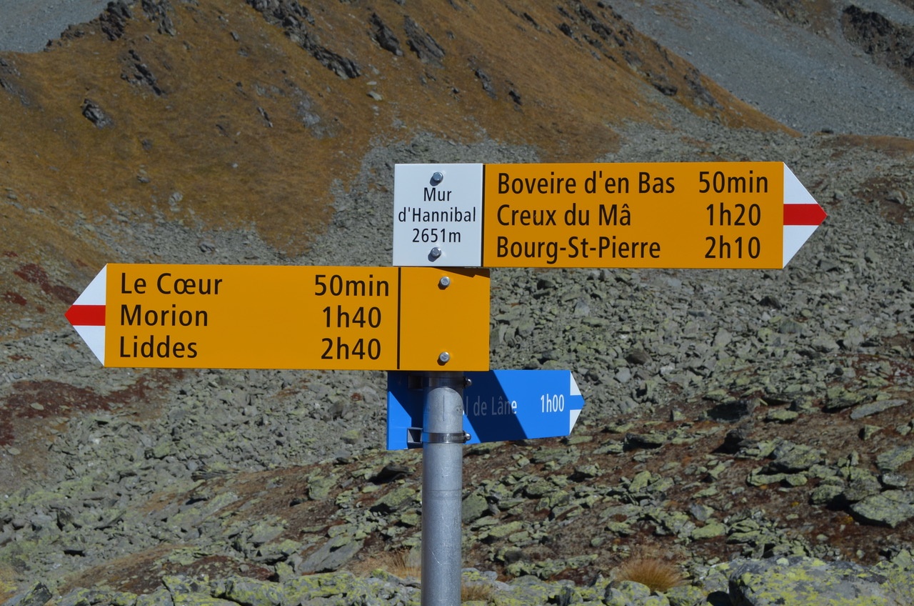
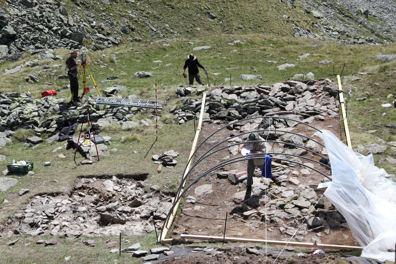
The Hannibal Wall is a fortified position from the second half of the 1st century B.C. located in the upper part of the municipality of Liddes in the Valais (Switzerland) at an altitude of about 2650m.
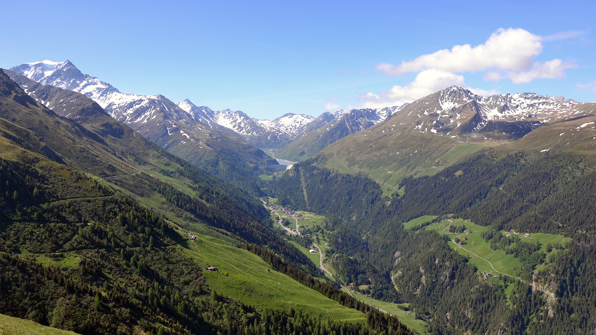
Its location is of tactical interest in the control of the eastern flank of the Val d’Entremont by the surveillance of a ring road of the main passage axis located at the bottom of the valley. The site has good observation possibilities and seems to be part of a system which today counts about ten positions between the Valais and the Aosta Valley.
Weitere Informationen zu dieser archäologischen Stätte, den sichtbaren Überresten und den Gründen für ihre Besetzung finden Sie unter folgendem Link: https://www.saint-bernard.ch/fr/mur-dit-d-hannibal-17879/
Itinerary
Best period to go there
Prestations
Author\s note
Guided excursions are organized in summer. Please contact info@ramha.ch for more information.
Directions
Cross the village of Liddes in the direction of Crédedin, Morion to go up in the forest to the alpage du Coeur. Then continue north east to the Creux de Boveire to reach the foot of the Pointe des Toules, where you will discover the Wall (known as) of Hannibal (45°59’06.68″N 7°13’59.65″E). Then go down through the alpine pastures of Boveire and then the Creux du Ma to reach Bourg-Saint-Pierre by Notre-Dame de la Lorette.
Getting there
Highway A9, exit 22 (Grand St-Bernard). Follow the signs to Grand St-Bernard until Liddes.
Free parking at the entrance of the village of Liddes (near the school). Follow the parking signs on site.
Train to Martigny, then change for the St-Bernard Express direction Le Châble to Sembrancher. From Sembrancher, take the train to Orsières. In Orsières, take the postal bus to Liddes.
At the end of the hike from La Douay, return by train (St-Bernard Express) then by bus to the starting point.
Complete schedule on cff.ch