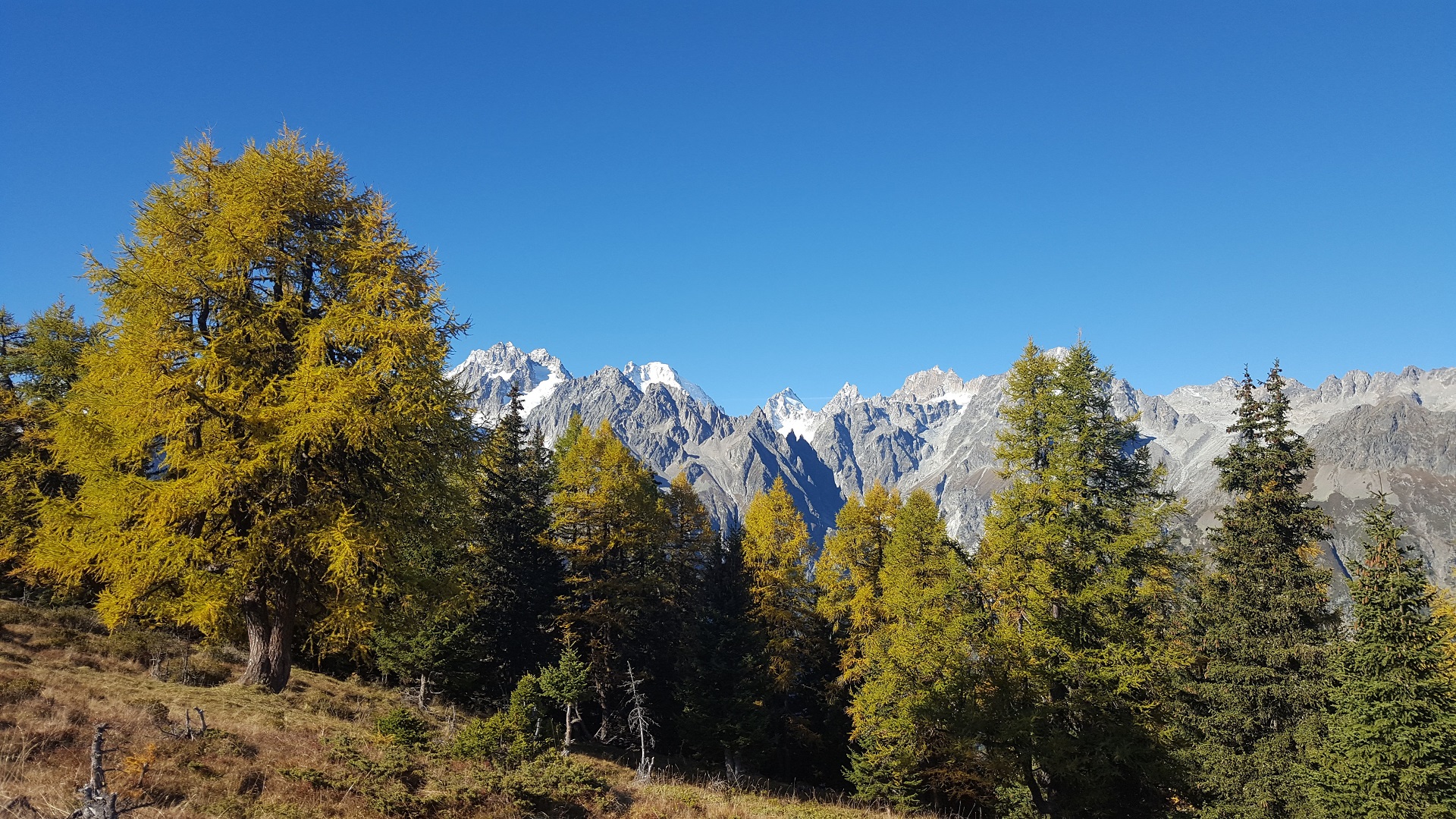
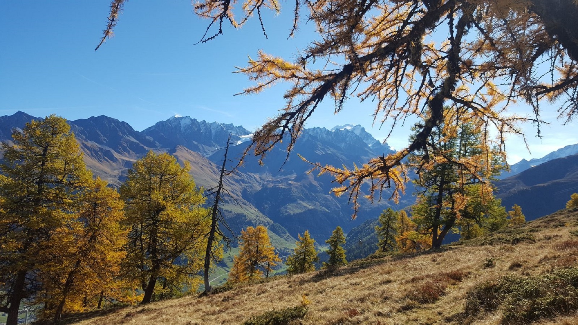
The Bavon ridge marks the boundary between Val Ferret and Val d'Entremont. Splendid panorama in sight!
This trail is varied with passages in the forest, on the mountain pasture, on the ridge and a departure/arrival point in the heart of the pretty hamlet of Vichères.
Itinerary
Best period to go there
Prestations
Author\s note
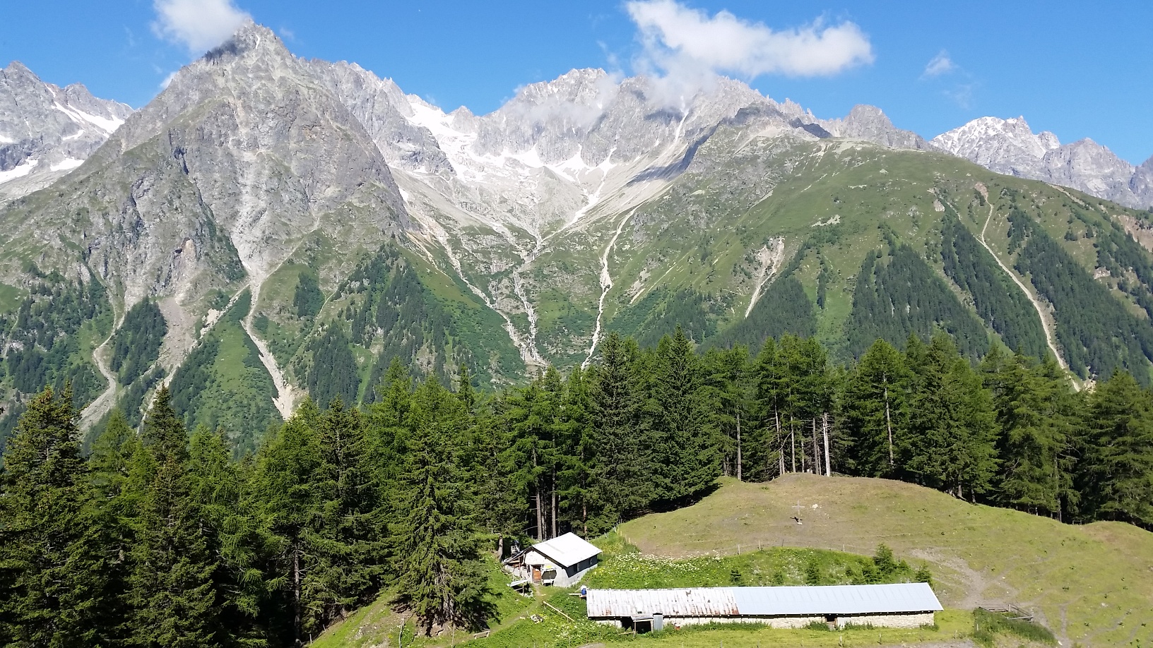
Bavon alpine cheese is very popular!
Directions
From the centre of the village of Vichères, turn right and leave the hamlet and cross the main road. Take the path climbing in the forest and join Plan Bœufs. Turn left and follow the direction of Bavon. Go up along this rather steep path and leave the forest at the level of a small plateau at Plan Monay. Go back down a few meters and continue the ascent on the path to the right of the ski lift.
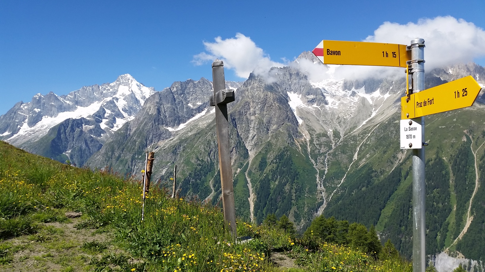
Continue on the ridge to reach the top of the second ski lift and the Téjère where there is a signpost. Turn left and go down towards the Bavon mountain pasture and take the path under the road going into the forest. Leave a little bit in the direction of the Combe de l’A and then come back on the road and the path to reach Vichères again.
Getting there
Exit the motorway at Martigny.
Follow the direction Grand-Saint-Bernard to Liddes.
Turn right after the tourist office.
Join Dranse then go up to the hamlet of Vichères.
Free parking in Vichères
Take the train to Orsières, then the bus to Liddes and continue on foot.
Consult the timetables on www.cff.ch