Except the Vichères rando parc, these routes are neither marked nor secure. Anyone using ski touring routes is solely responsible for their own actions. Pays du St-Bernard declines all responsibility in the event of an accident and gives no guarantee as to the topicality, accuracy or completeness of the information provided.
Be accompanied by a certified mountain guide. Find their contact details on here.
Consult the avalanche bulletin by clicking here!
Itinerary
Best period to go there
Prestations
Author\s note
Be accompanied by a certified mountain guide. Find their contact details by clicking here.
Directions
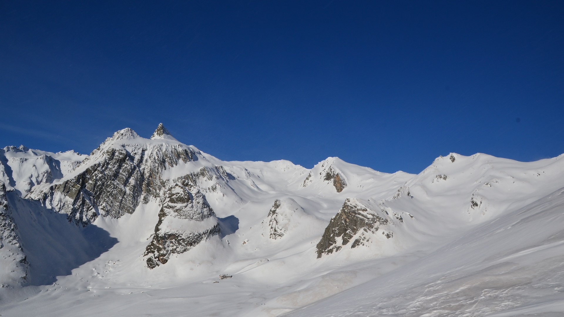
Start first on the summer road, in front of the first then second chimney of the tunnel. Then continue in the Combe des Morts slightly to the right. Do not take the Combe de Barasson on the left nor continue on the road to the right. The hospice and the pass are located at the top of this Combe.
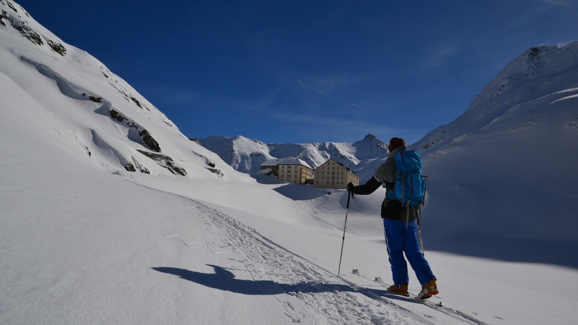
Remove skins and descend on the Italian side road to the place called “Baou” where you need to put the skins back on. Pass to the right of the chalet and climb the small combe to the northwest to reach a rolling plateau around 2540 meters. Head west to reach the foot of Mont Fourchon. Walk the last few meters on foot.
Getting there
Exit the highway at Martigny.
Follow the direction Grand-Saint-Bernard and exit the covered road just before the tunnel.
Free parking in Bourg-Saint-Bernard
Take the train to Orsières then the bus to Bourg-St-Bernard.
Check the schedules on www.sbb.ch