
Except the Vichères rando parc, these routes are neither marked nor secure. Anyone using ski touring routes is solely responsible for their own actions. Pays du St-Bernard declines all responsibility in the event of an accident and gives no guarantee as to the topicality, accuracy or completeness of the information provided.
Be accompanied by a certified mountain guide. Find their contact details on here.
Consult the avalanche bulletin by clicking here!
The 2nd stage of the Haute Route - 3 Days Version! is not easy. For the route of over 20 km length, very good endurance is required.
The stage starts at the Cabane de Valsorey and ends at the Cabane des Vignettes. If the stage is too long, you can detour to the Cabane de Chanrion halfway through.
Right at the beginning of the stage, there is a key section of the classic Haute Route, but then you are rewarded with a great descent!
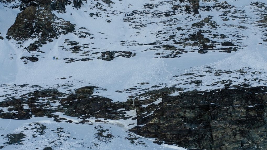
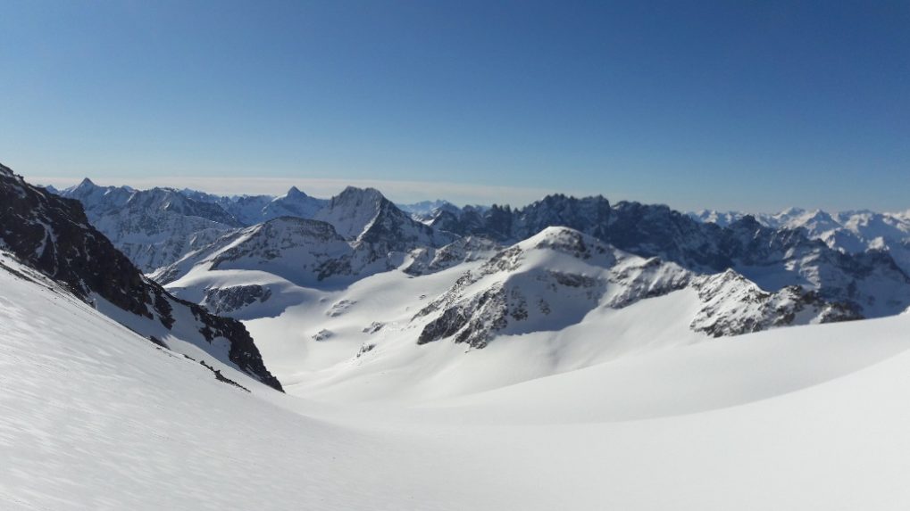
You can see and assess the key section from the Valsorey hut. The goal is a notch as a crossing to the Plateau du Couloir. To reach the notch, you have to go through a slope that gets steeper and steeper. The steepness can only be roughly estimated from the hut.
After the descent of about 1500m altitude, there is another exhausting ascent over the Glacier d’Otemma. With about 900m over about 10 km, the incline is pleasant, but there is still some way to the hut.
Duration:
- Cabane de Valsorey – Charmotane (turnoff to Cabane de Chanrion): 6.00h
- Charmotane – Cabane des Vignettes: 4.30h
Itinerary
Best period to go there
Prestations
Author\s note
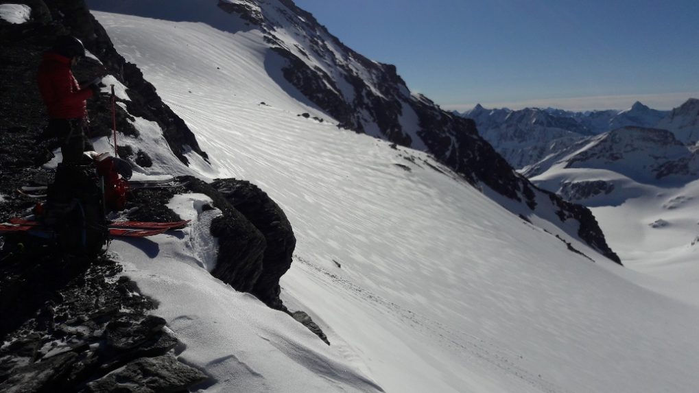
From the Col du Sonadon, you can make a detour to the summit of Grande Tête de By (3587m). The ascent takes about half an hour.
Directions
1st ascent:
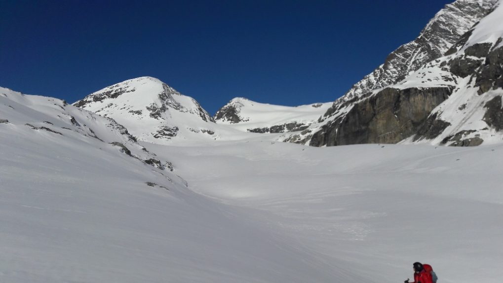
You start from the Valsorey hut heading northeast towards the Meitin Glacier and keep towards the Grand Combin. The crossing to the Plateau du Couloir is at about 3600m. Depending on snow conditions, you have to tackle the slope relatively early with crampons and an ice axe because it becomes up to 45° steep. Once at the top, you traverse right to the notch onto the Plateau du Couloir. There is often a cornice here that can either be bypassed or requires a lot of work to climb over. Also, you should keep an eye on the steep slopes above the flank.
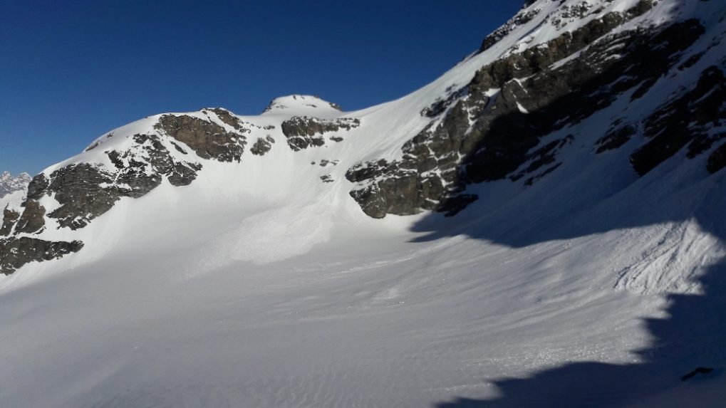
When you have reached the Plateau du Couloir, you see the Biagio-Musso bivouac further up to the right and the south flank of the Combin de Valsorey to the left. From the plateau, you continue eastward and there is a short descent onto the Glacier du Sonadon. You keep more to the left under the south flank of the Combin de Valsorey to lose only a few altitude meters. From the Glacier du Sonadon, you have to ascend briefly eastwards again to the Col du Sonadon. From here starts the long descent.
Descent:
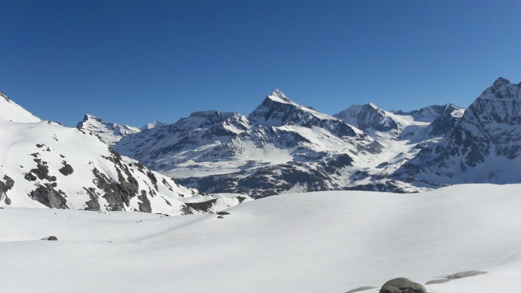
About 150-180 altitude meters are descended straight to the southeast, then you have to keep right (to the south) to avoid falling over a huge glacier drop-off. You drive through between the large glacier break on the left and the breaks of the Grande Tête de By on the right. A look at the maps is very helpful here. It continues descending over the Durand Glacier to an altitude of about 2800m. Here you should keep as far right as possible and cross at P.2736m to the ridge of Mont Avril. You may need to put skins back on here. Once on the ridge, you descend eastward. About halfway down, you have to cross a small valley to the right and can then descend to the valley floor. You still have about 11 km of ascent ahead. If your stamina no longer allows this, you still have the option to ascend to the Cabane de Chanrion (about 200m altitude).
2nd ascent:
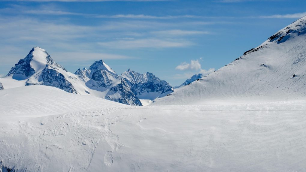
Before the small gorge branching off to the right, skins are put back on. The path leads through the small gorge to the beginning of the Otemma Glacier. With a steady incline, you ascend for a long time to the Col de Charmotane. Shortly before the col, you turn left towards Pigne d’Arolla. You cross the east flank of Pigne d’Arolla and reach the Col des Vignettes. After a short distance, the Cabane des Vignettes is reached.
Getting there
You reach Martigny via the A9. From there via 21 towards Colle di Gran San Bernardo. Then you come directly to Bourg-Saint-Pierre.
Possibly in Cordonne. Depending on snow conditions.
You can travel very comfortably by train from Lausanne, Bern, Brig to Martigny.
In Martigny, you take the train to Orsières. At Sembrancher, you have to change trains. The train runs several times a day.
From Orsières, a bus runs several times a day to Bourg-Saint-Pierre.
Then Stage 1.