Except the Vichères rando parc, these routes are neither marked nor secure. Anyone using ski touring routes is solely responsible for their own actions. Pays du St-Bernard declines all responsibility in the event of an accident and gives no guarantee as to the topicality, accuracy or completeness of the information provided.
Be accompanied by a certified mountain guide. Find their contact details on here.
Consult the avalanche bulletin by clicking here!
Itinerary
Best period to go there
Prestations
Author\s note
Be accompanied by a certified mountain guide. Find their contact details by clicking here.
Directions
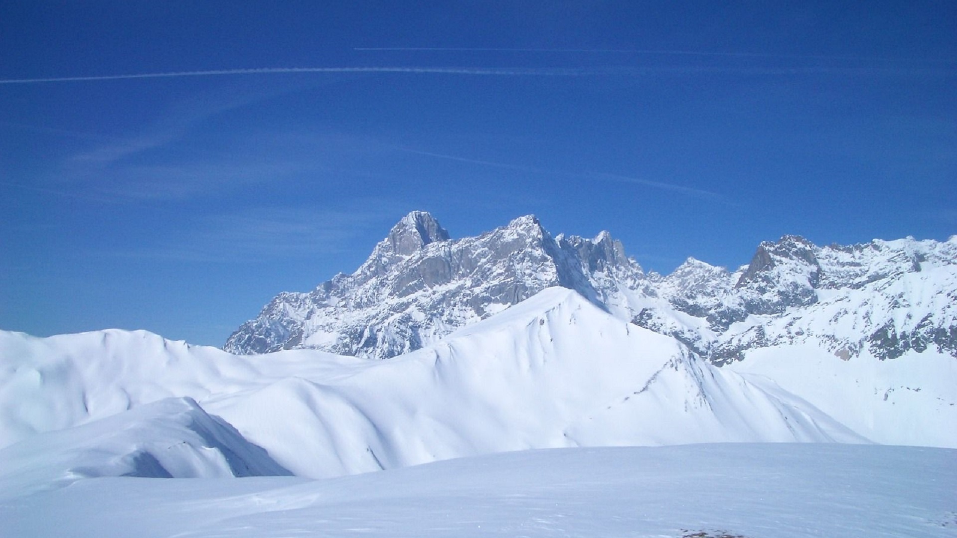
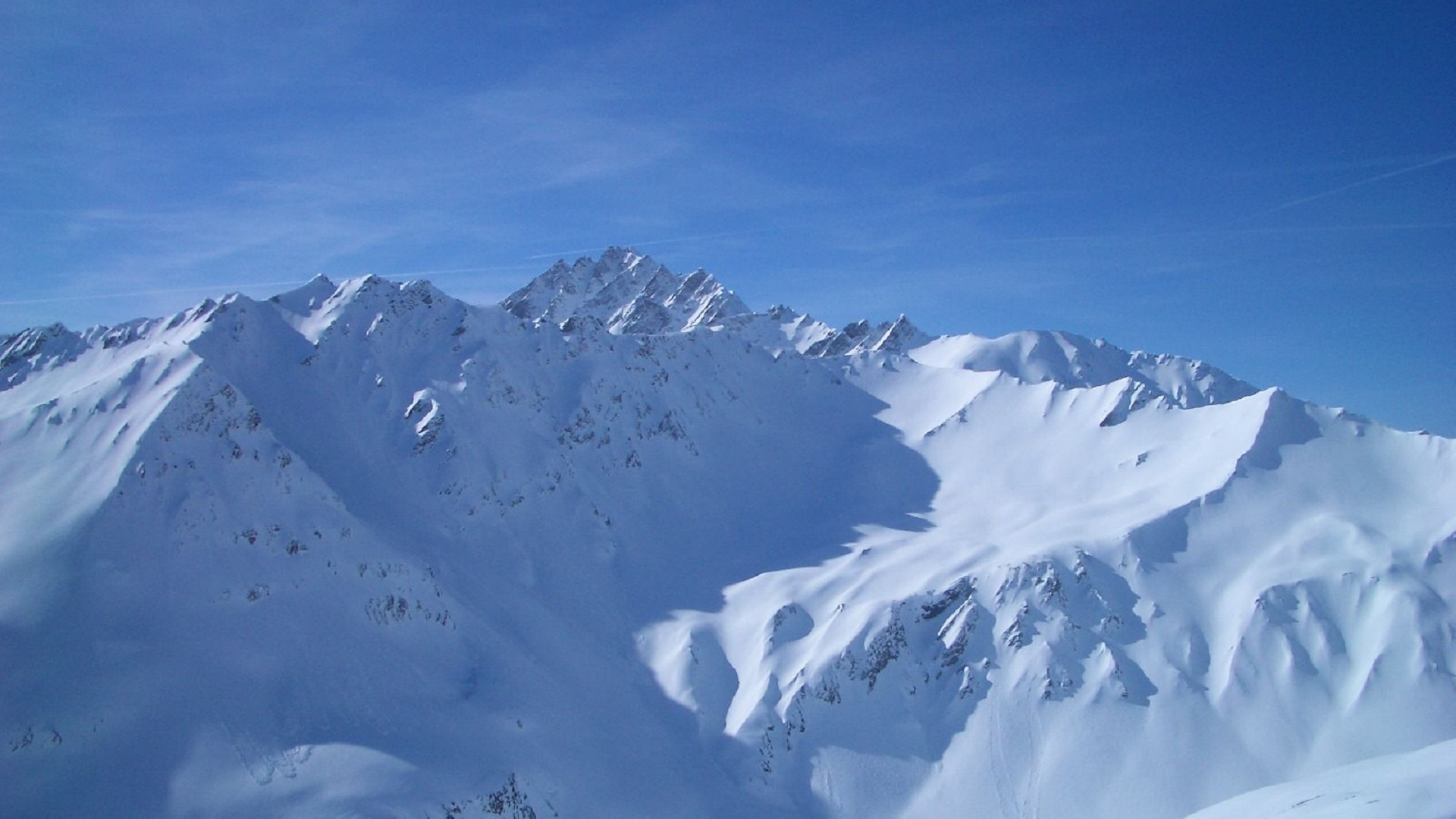
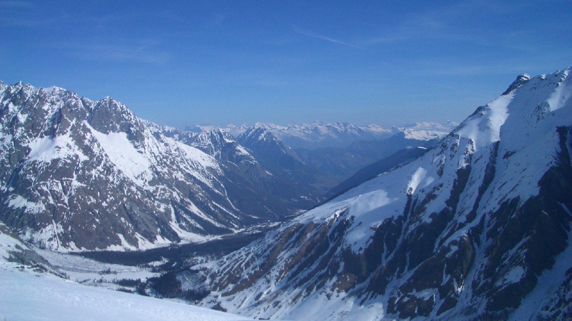
Cross the Dranse river and then the torrent of Merdenson. Climb through the sparse forest to reach the vernes on the ridge. Go up it then zigzag to reach the top of the Dotze. From there continue westwards in uphill descents to reach the Tête de FerretDescendre due north then on easy slopes without reaching the Combe des Fonds. Pass through the Cretté de la Perche continue northwards then turn right to descend to La Léchère and cross the Dranse again.
Getting there
Exit the motorway at Martigny.
Follow the direction Grand-Saint-Bernard then leave the main road at Orsières and follow La Fouly.
You can park at the bottom of the Fouly tracks which are located near the tourist office.
Access by public transport
Take the train to Orsières and then the bus to La Fouly.
Consult timetables on www.cff.ch