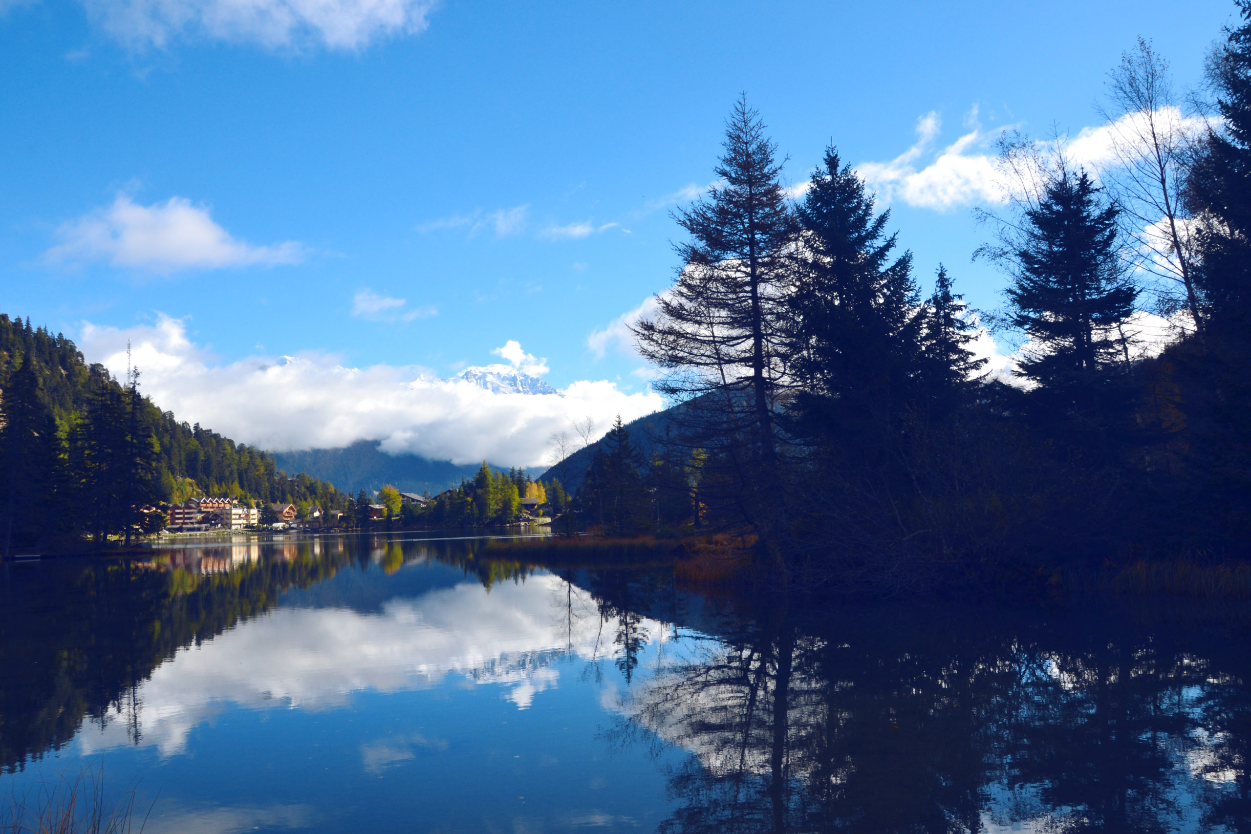
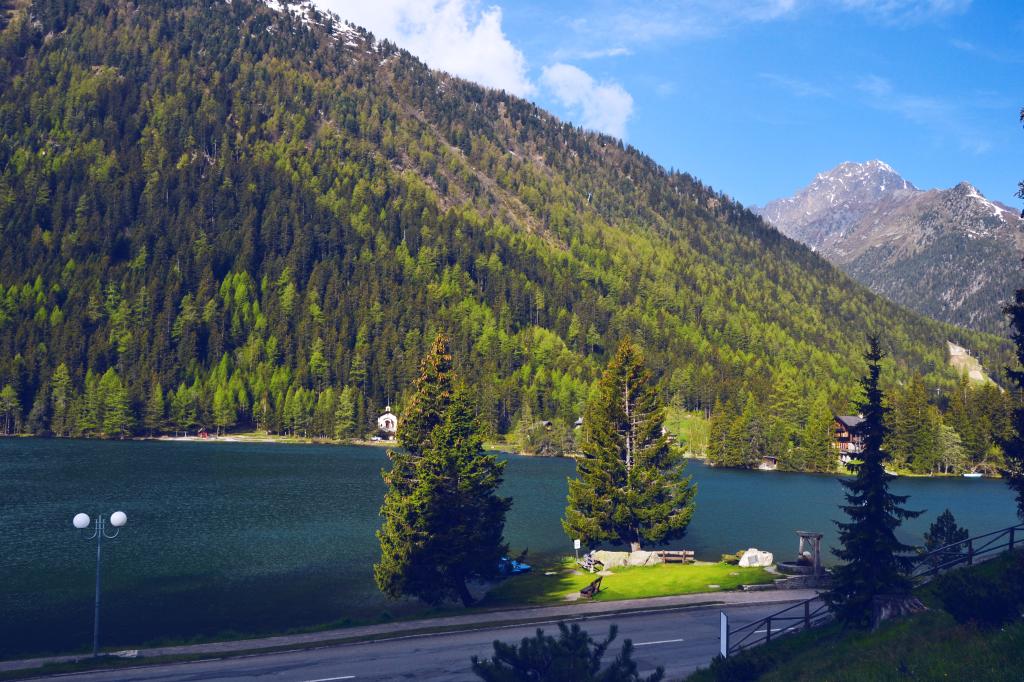
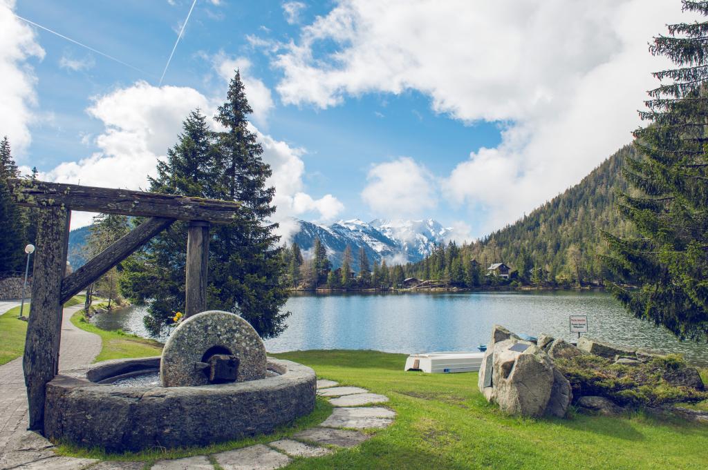
The Col de Champex connects Bovernier to Champex-Lac, which is at the junction of the Val Ferret and the Val d’Entremont. Champex lake at the summit is both captivating and relaxing.
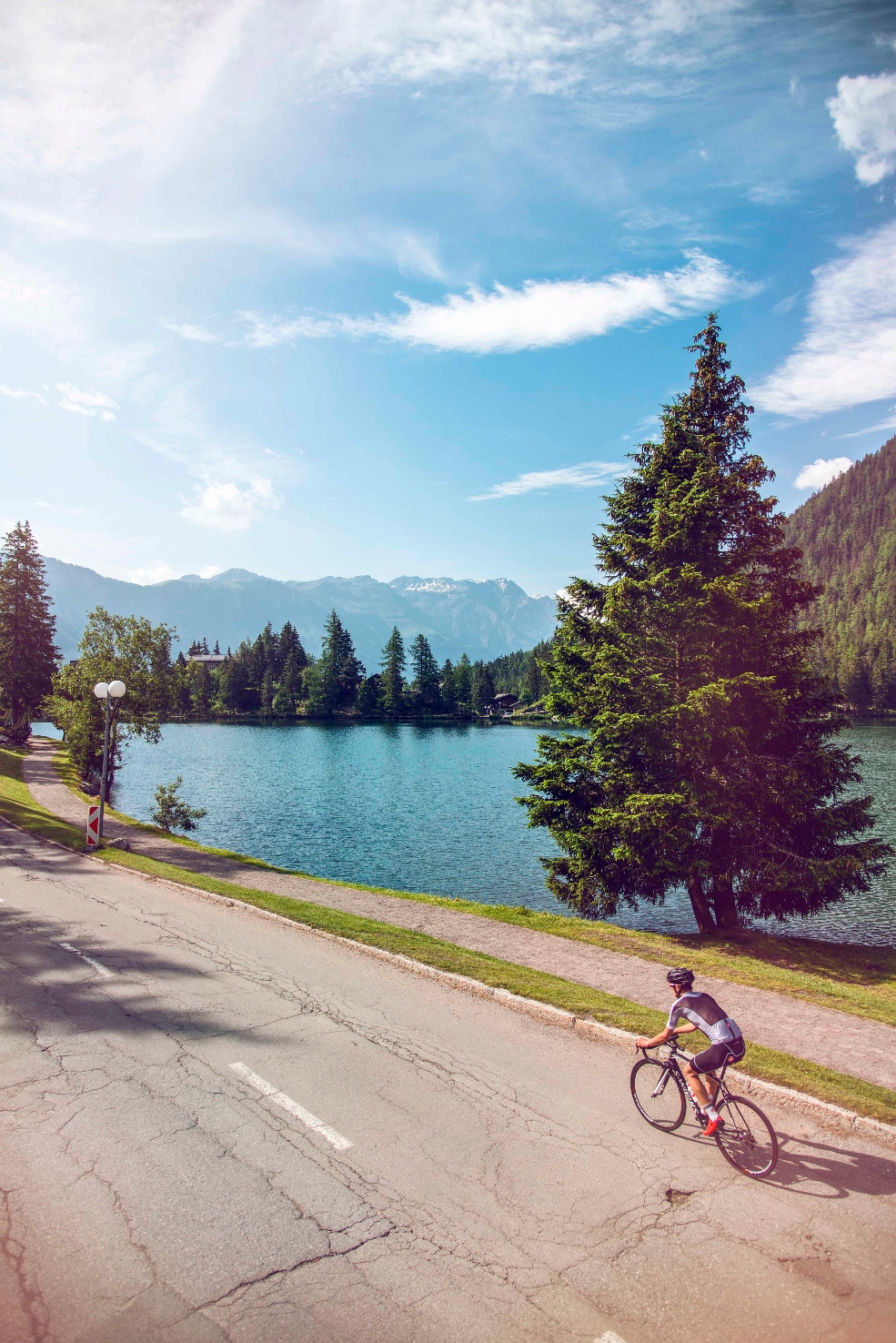
In just a few kilometres, this route offers the chance to enjoy a variety of natural settings, including prairies, forests and alpine panoramas. It makes for a challenging climb, though, so you’ll need to be in good physical shape to tackle it. Starting from Bovernier, the route passes through the Durnand gorges during its first few kilometres before climbing gradually towards Champex and offering a superb panoramic view dominated by the Catogne and Mont Dolent. At the summit, the village of Champex-Lac will invite you to stop for a well-deserved break.
Itinerary
Best period to go there
Prestations
Author\s note
Visit the alpine botanical garden in Champex-Lac and learn more about local flora and medicinal plants.
Directions
The Valais cycling signpost marking the start of the route is at the intersection of the Route des Valettes main road and the Route de Champex, at the heart of the municipality of Bovernier. Follow the Valais cycle signs for 10.7 kilometres along a quiet road featuring numerous bends. Once you arrive in the village of Champex d’en Bas, continue straight ahead until you reach the car park for the Champex-Lac ski lifts and the Col de Champex.
Getting there
Take the E27 via the Martigny/Grand St. Bernard exit. At the roundabout, continue straight ahead in the direction of the Col du Grand St. Bernard.
Parking available at Bovernier train station.
Travel to Bovernier via the SBB Lausanne-Brig line and the Transport Martigny Région line.


