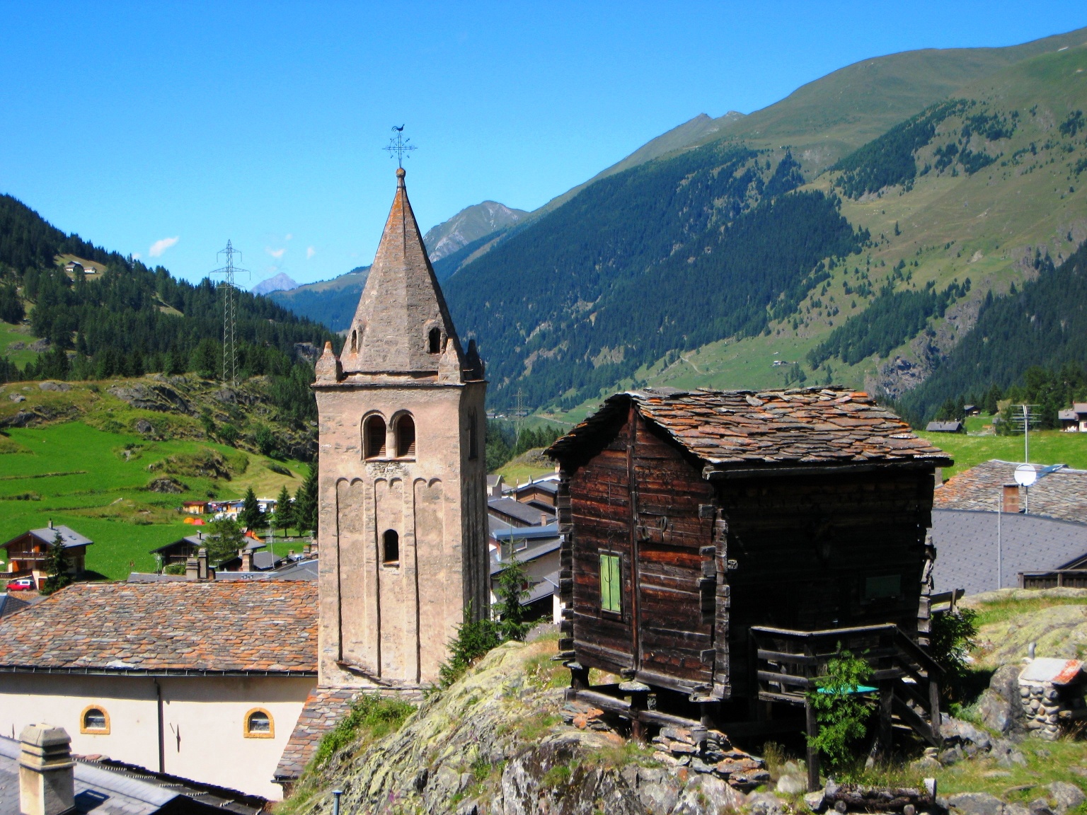
The "Via Francigena" is one of the 3 Christian pilgrimage routes of the Middle Ages, whose main axis leads from Canterbury in England to Rome. This documentation initially covers the section from Pontarlier to Rome.
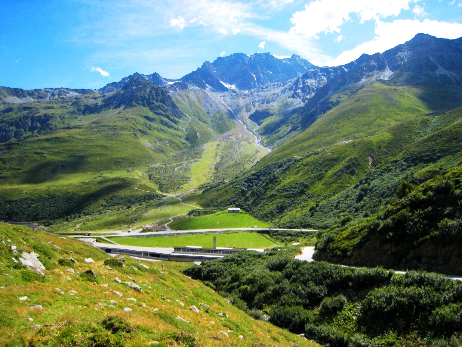
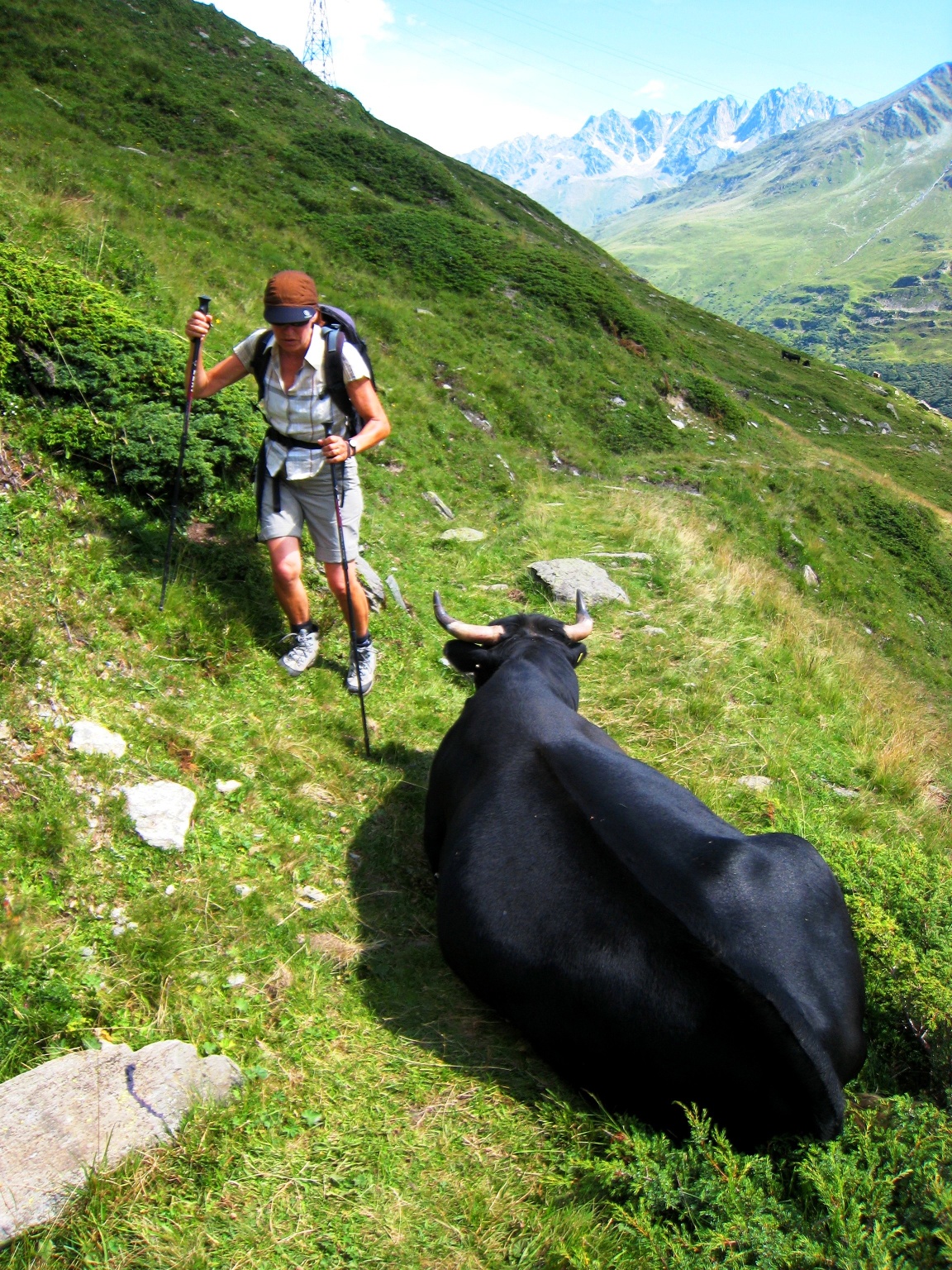
This stage takes us to the highest point of this hike, the Alpine pass Great St. Bernard, from 1637 m above sea level up to 2469 m above sea level. The stage is only 7.7 miles long, but the approximately 3280 feet of cumulative ascent and the ever-thinning air will challenge us. In addition, we will only encounter a settlement again at the destination on this route, so we must bring enough food and drinks. We are accompanied on this stretch by the young Dranse d´Entremont and the main road, which is protected against rockfall and snow on long sections by galleries.
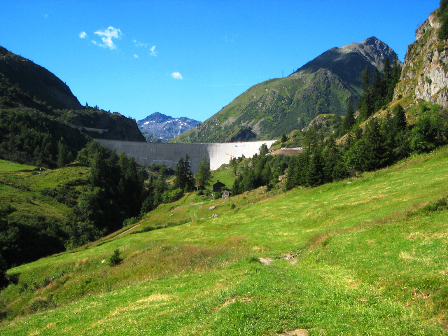
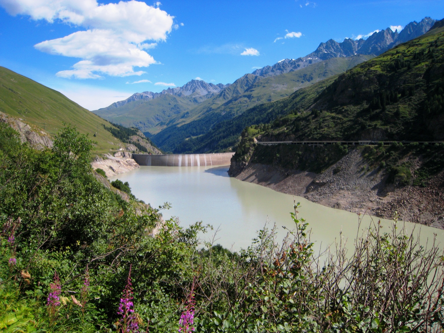
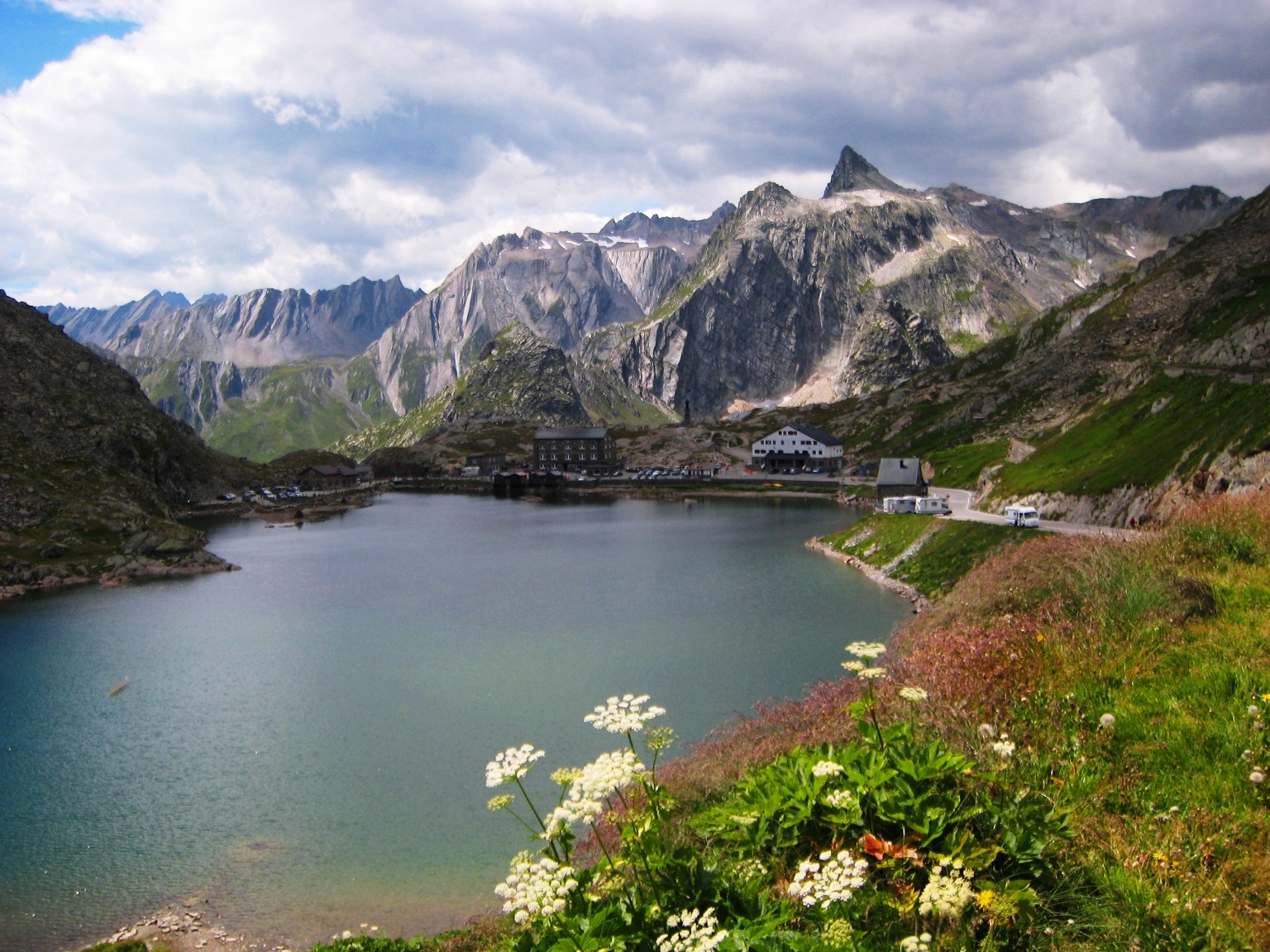
In the first part we will first see the dam of the “Lac des Toules” from below, then gain height next to it, and then walk along the reservoir for about 1.2 miles. When we have reached the upper end of the reservoir, we will soon see the tunnel portal at Bourg-St-Bernard, where the road disappears at about 1900 m above sea level; for us, only the pass road remains, which is much less frequented.
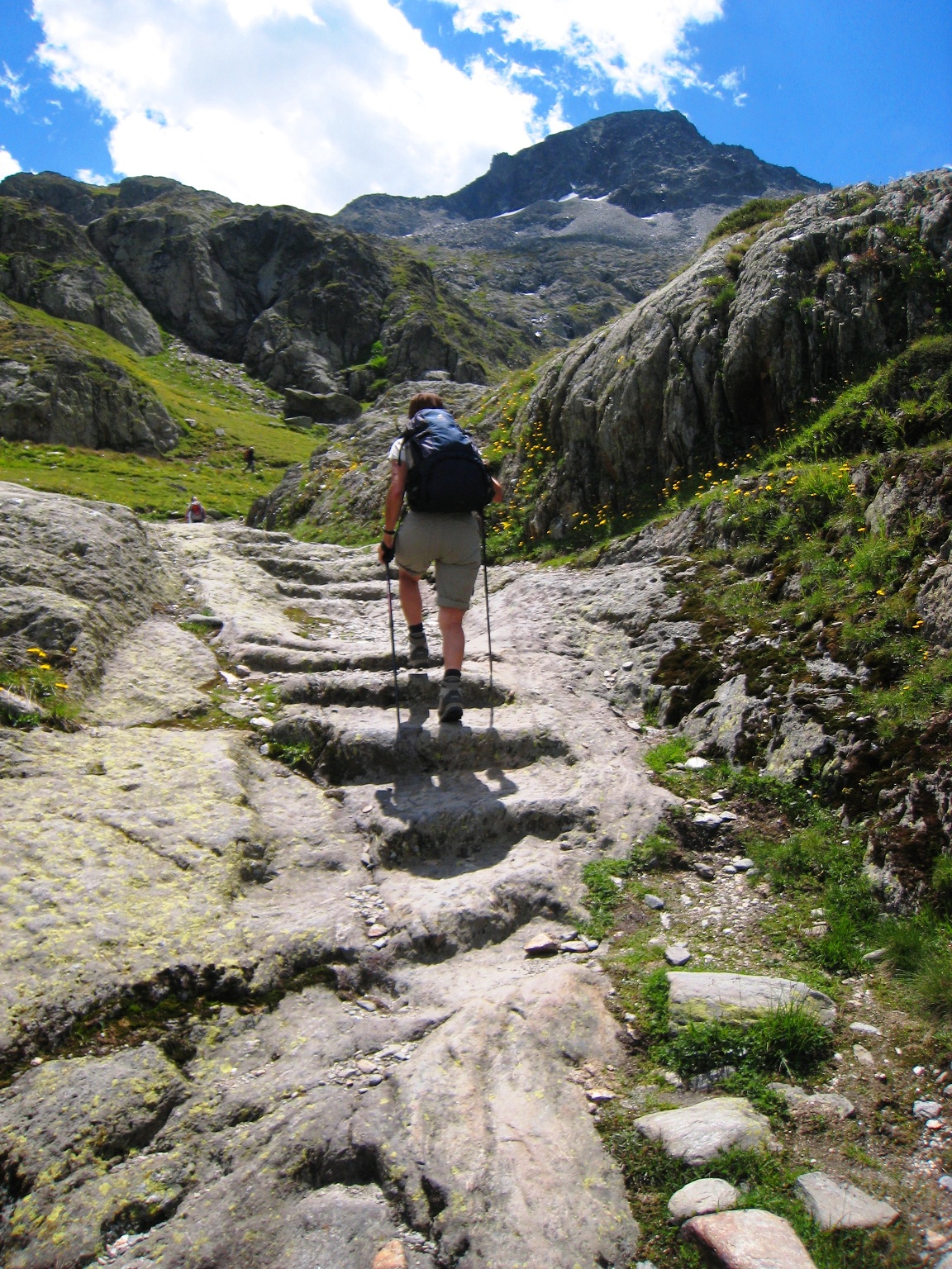
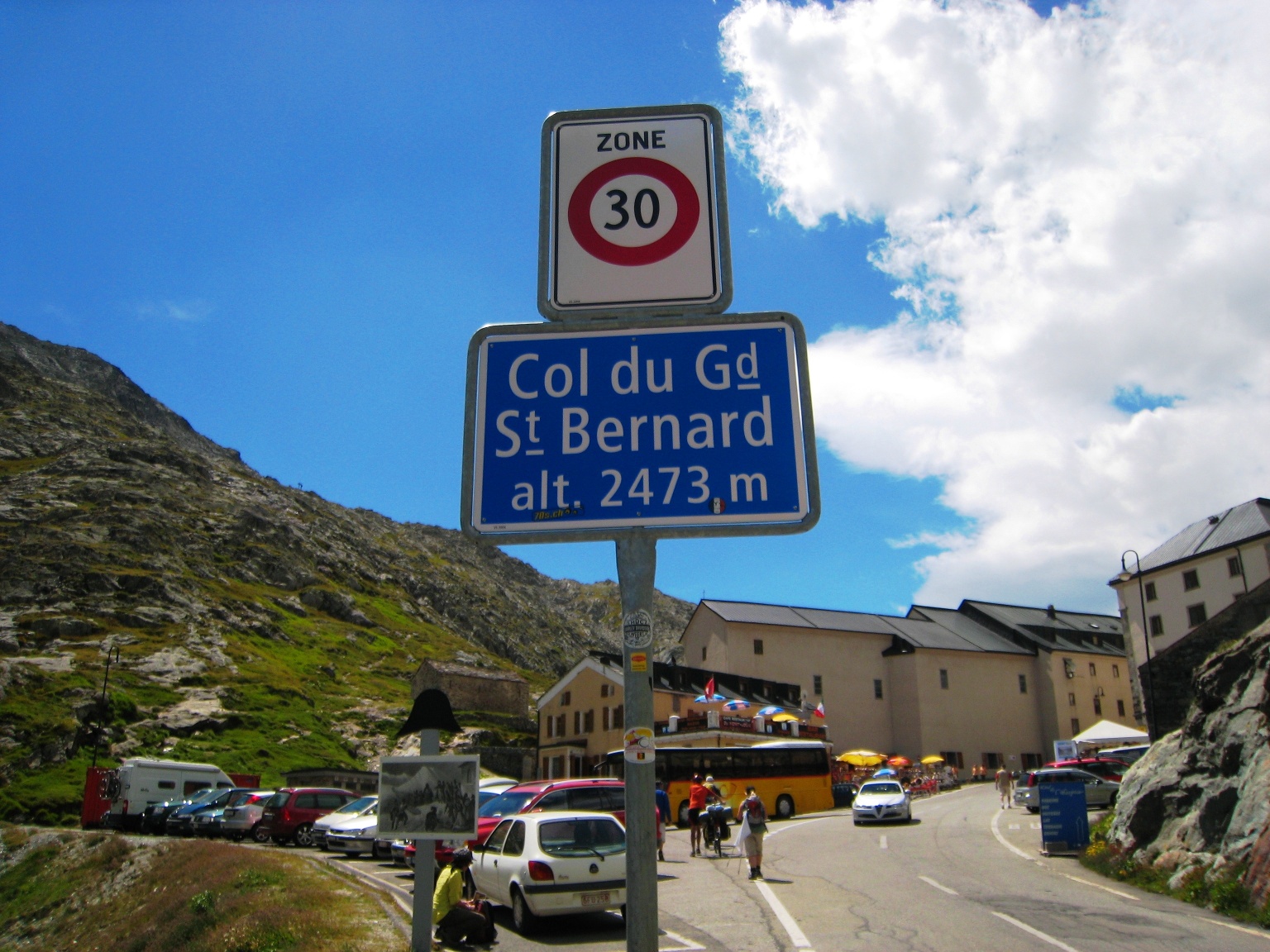
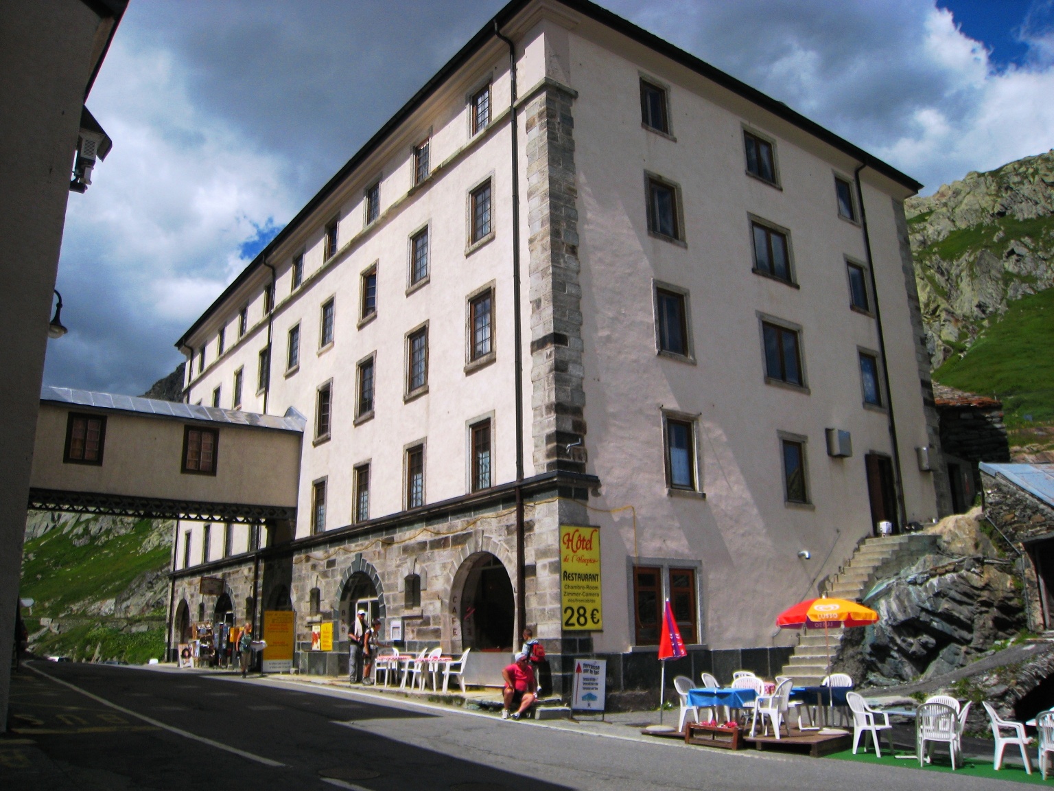
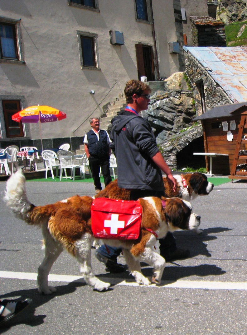
Now the final ascent begins, on old Roman and mule tracks, first through the hollow “Comba Marchanda”, then through the “Combe des Morts” at the foot of Mont Mort. Once we have managed these two ascents, partly on rocky ground, we will soon reach the destination. The Great St. Bernard crossing is dominated by the large hospice of the Augustinian canons, whose origins were first documented in the year 1125. The pass summit also simultaneously forms the border with Italy.
Itinerary
Best period to go there
Prestations
Directions
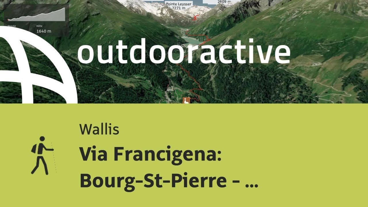
Bourg-Saint-Pierre – Lac des Toules – Bourg-St-Bernard – La Pierre – L´Hospitalet – Comba Marchanda – Combe des Morts – Col du Grand-Saint-Bernard