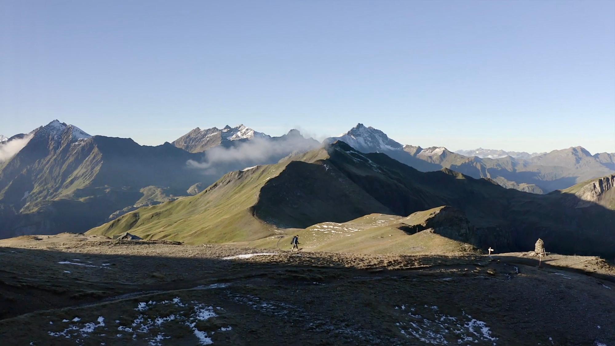
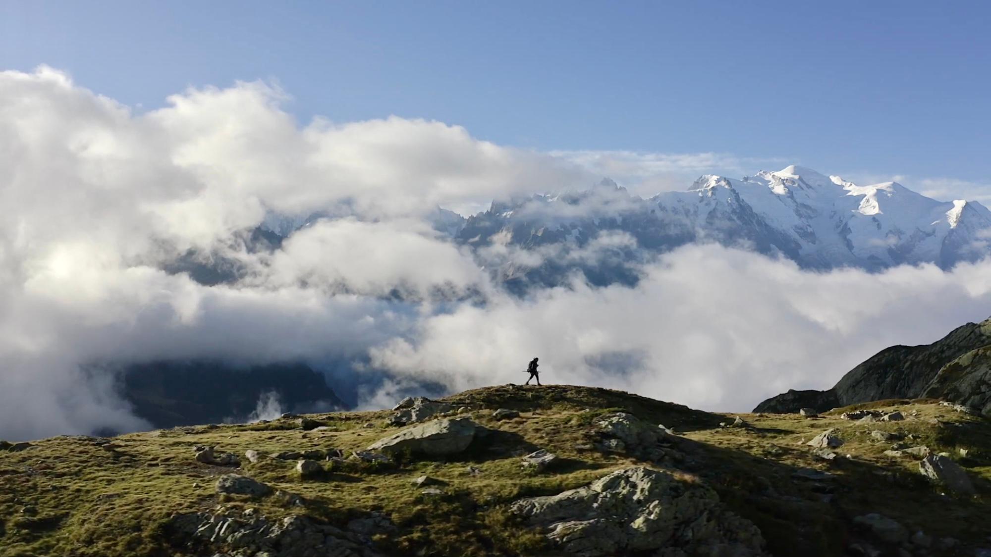
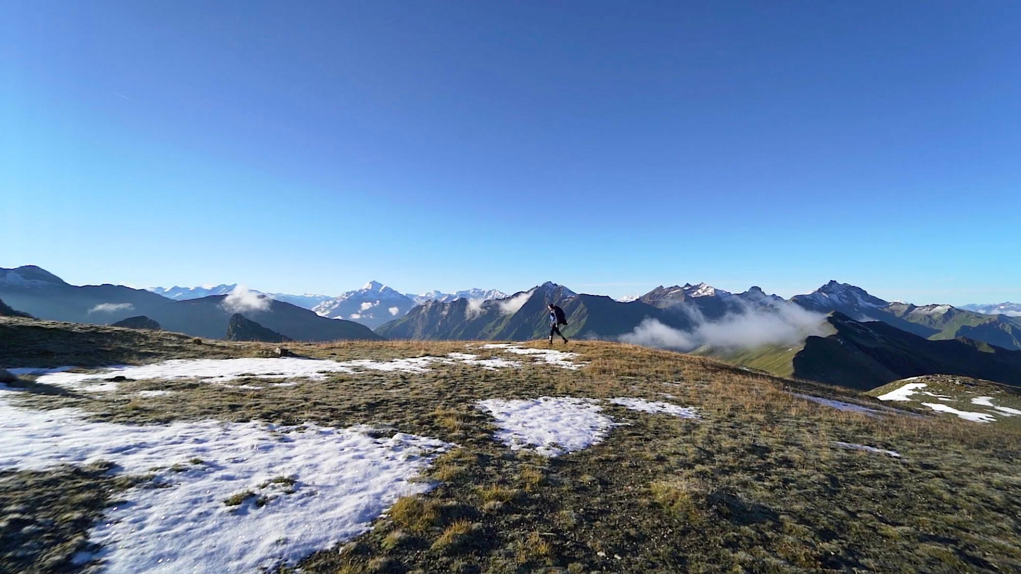
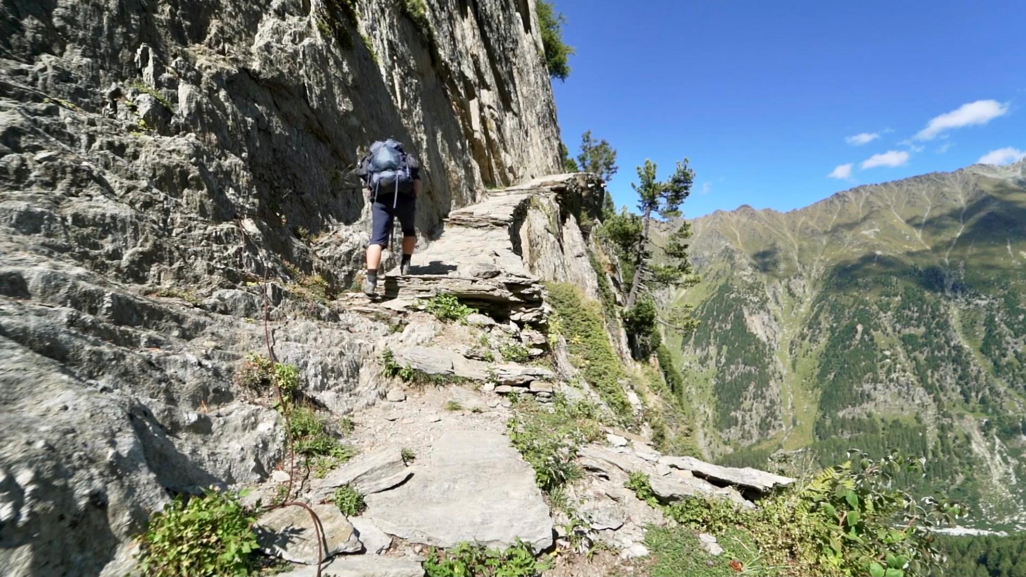
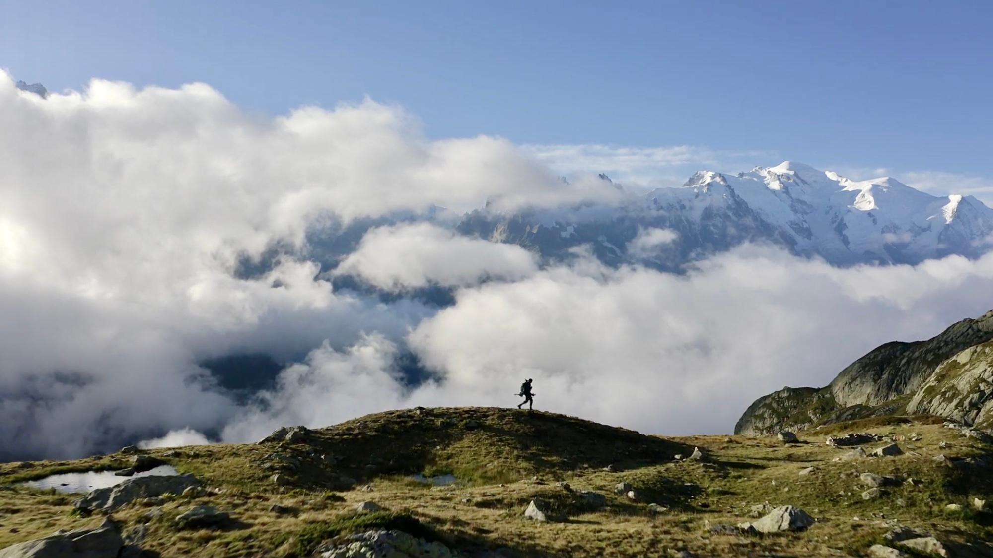
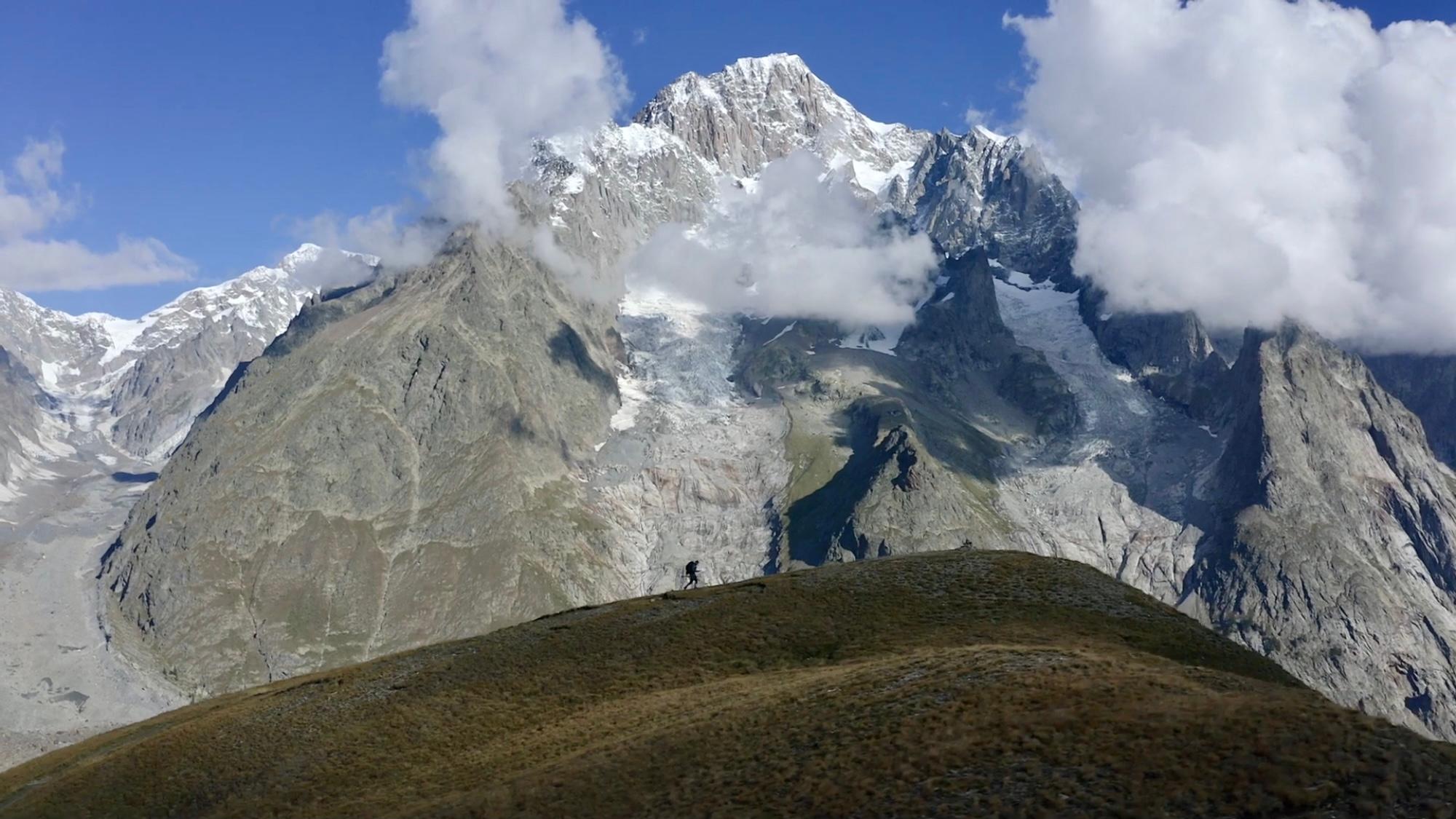
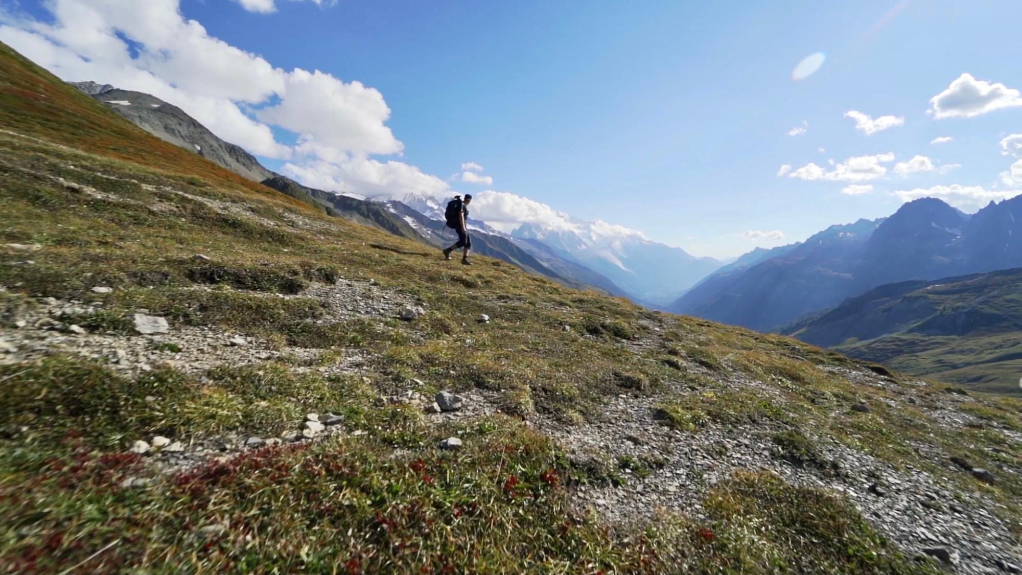
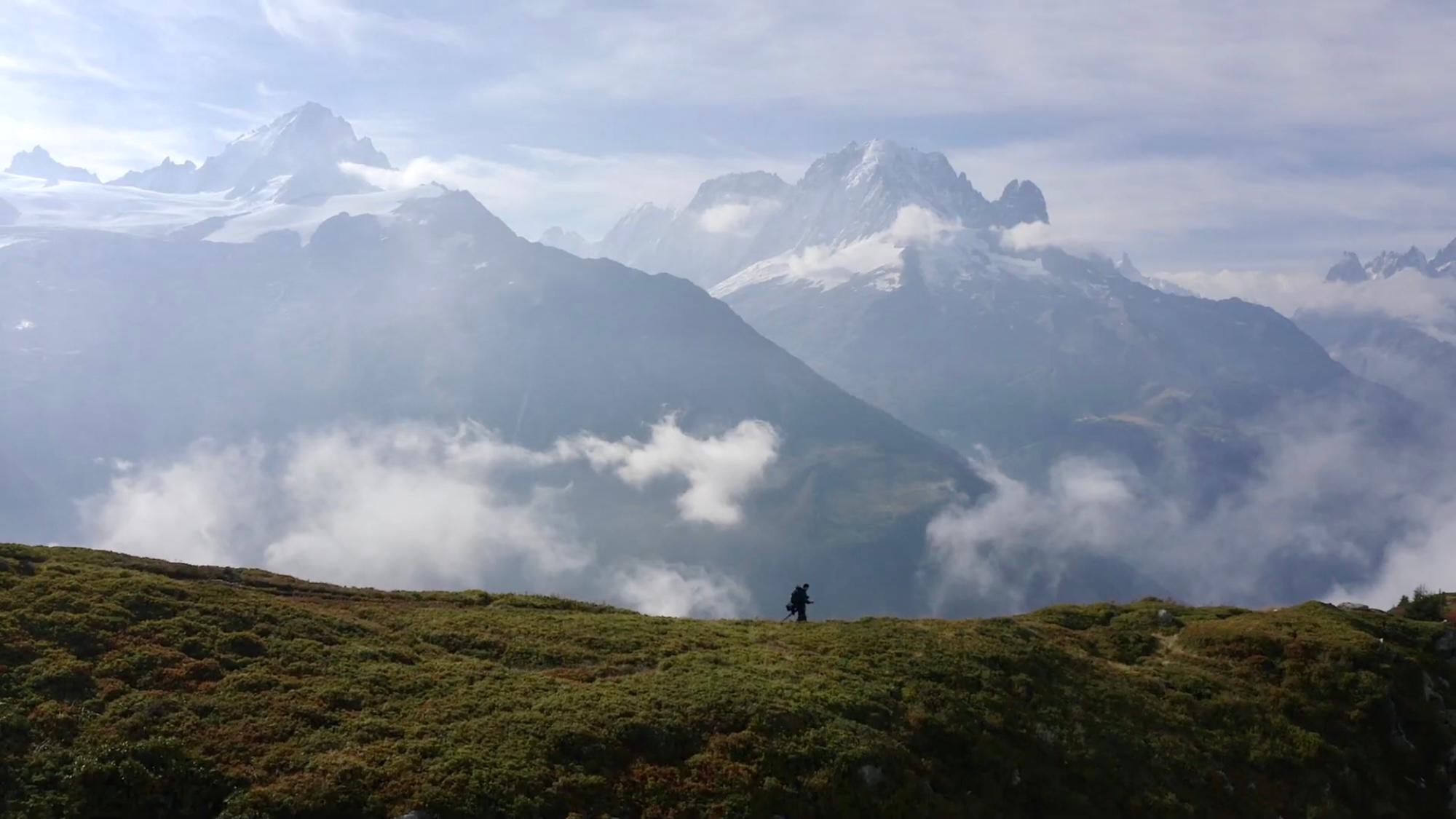
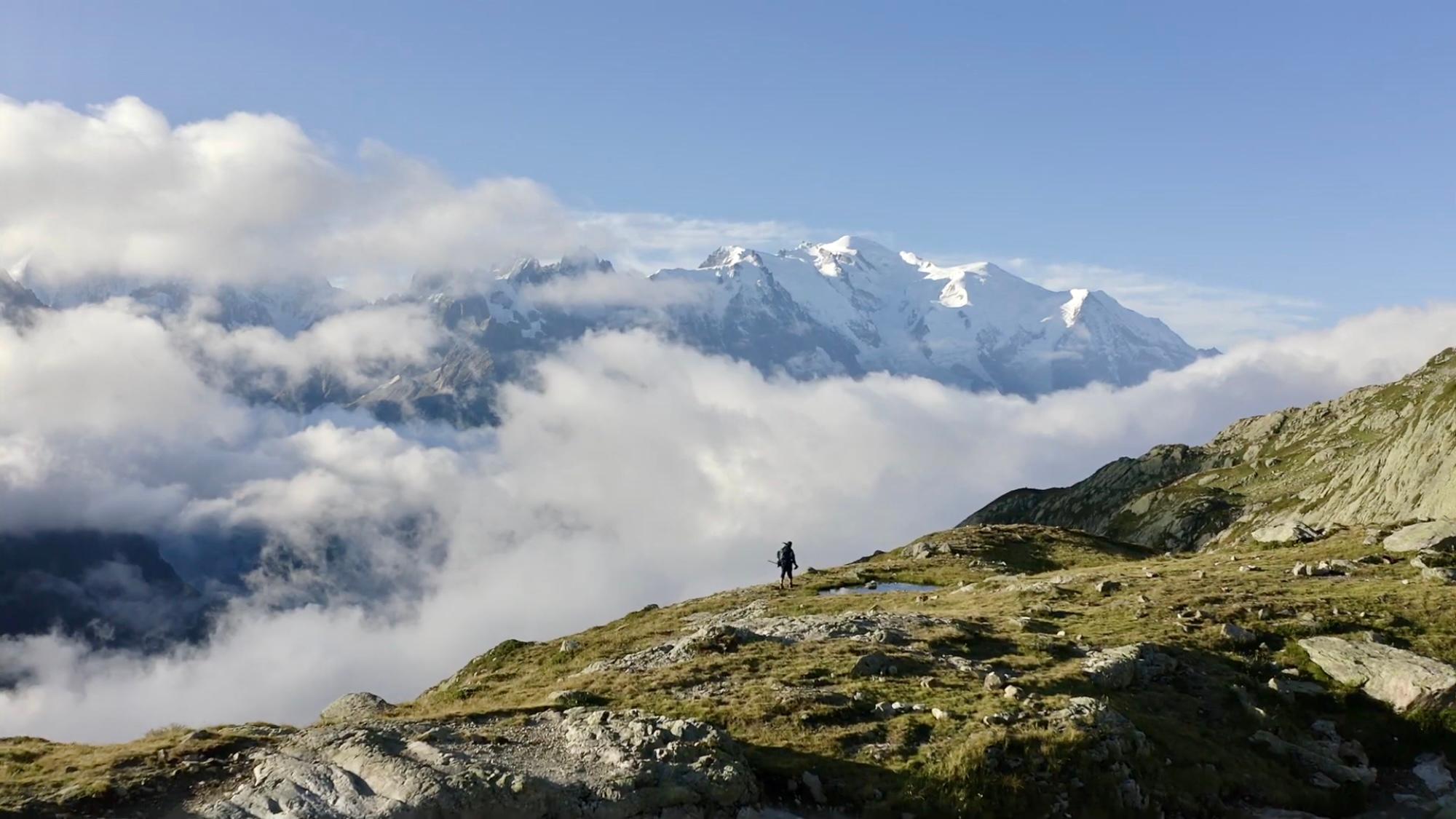
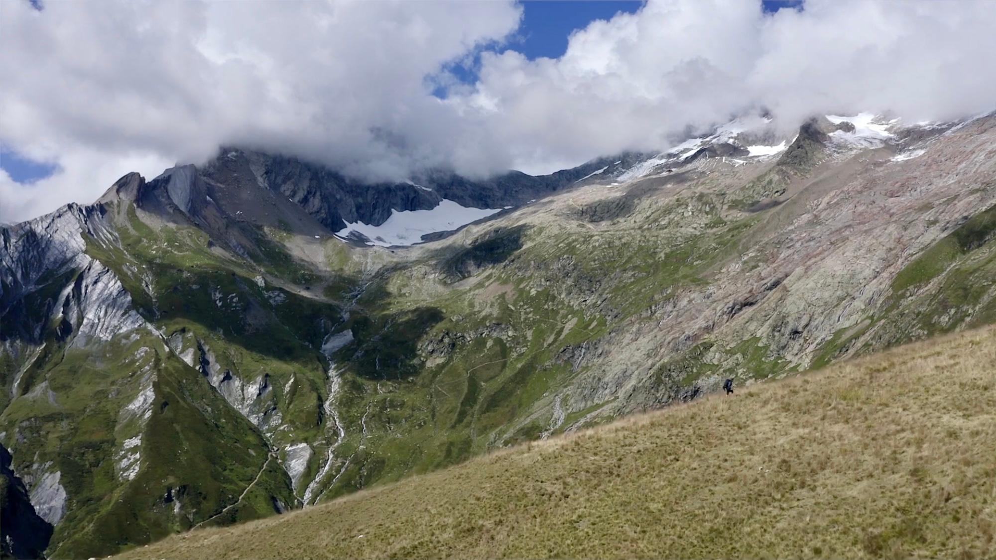
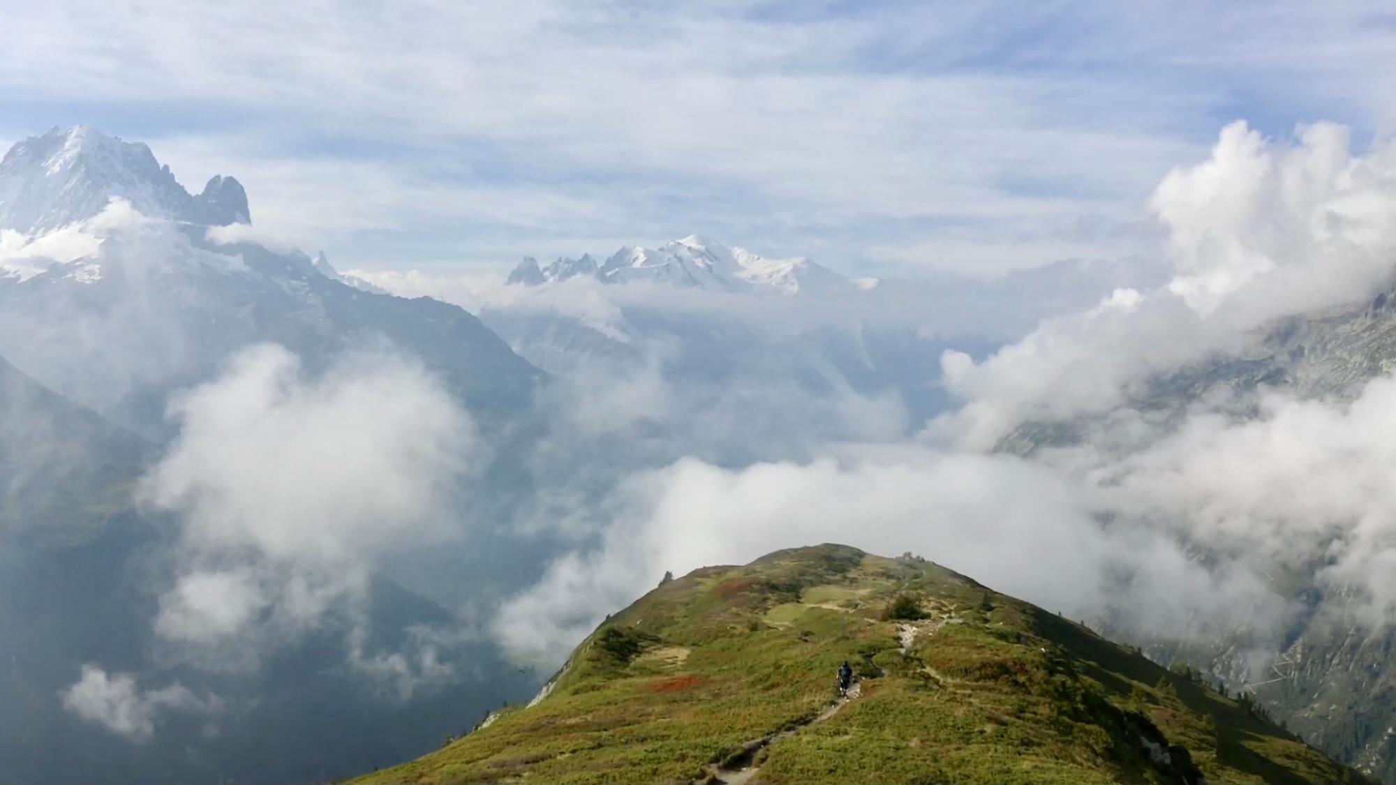
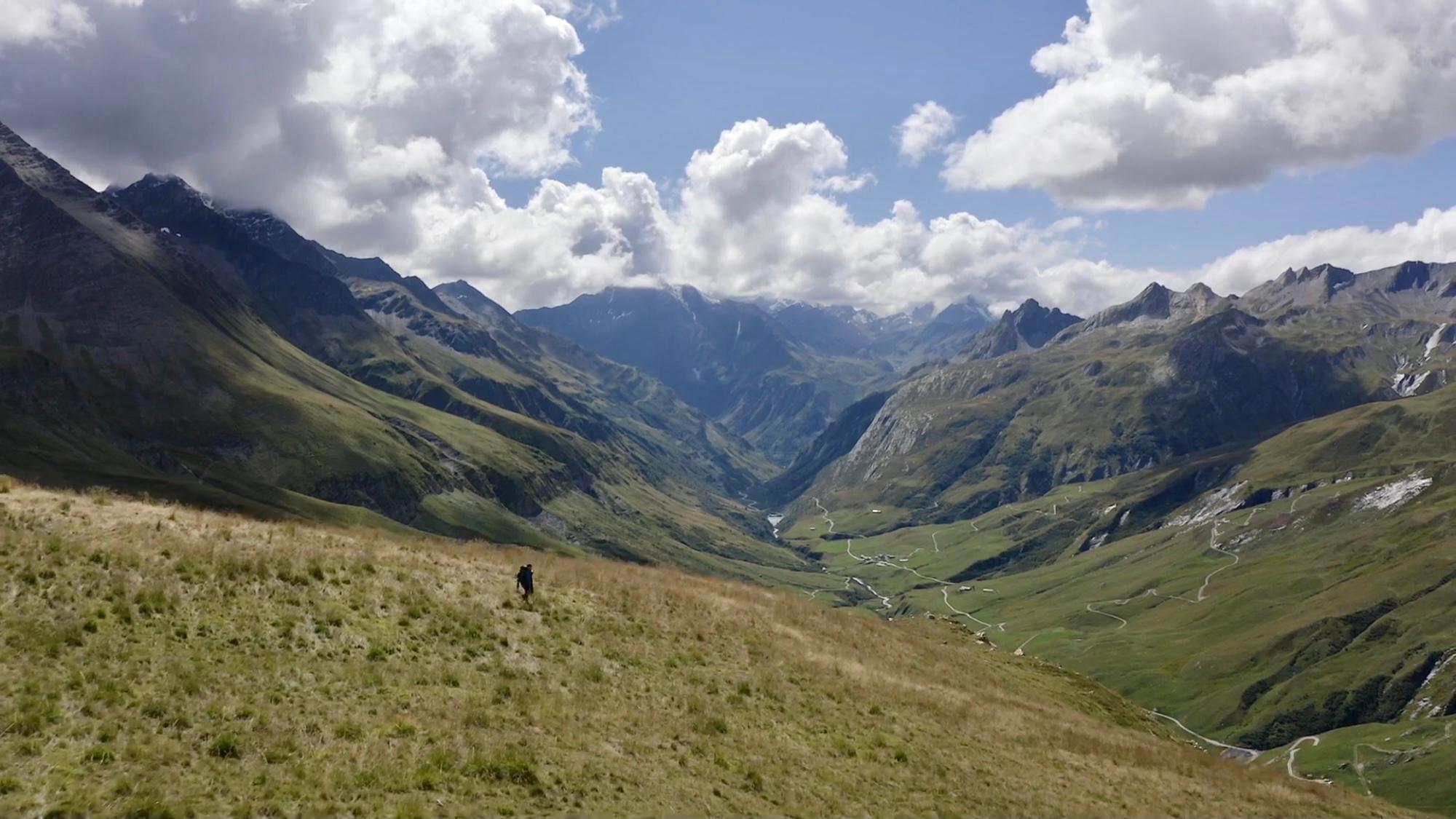
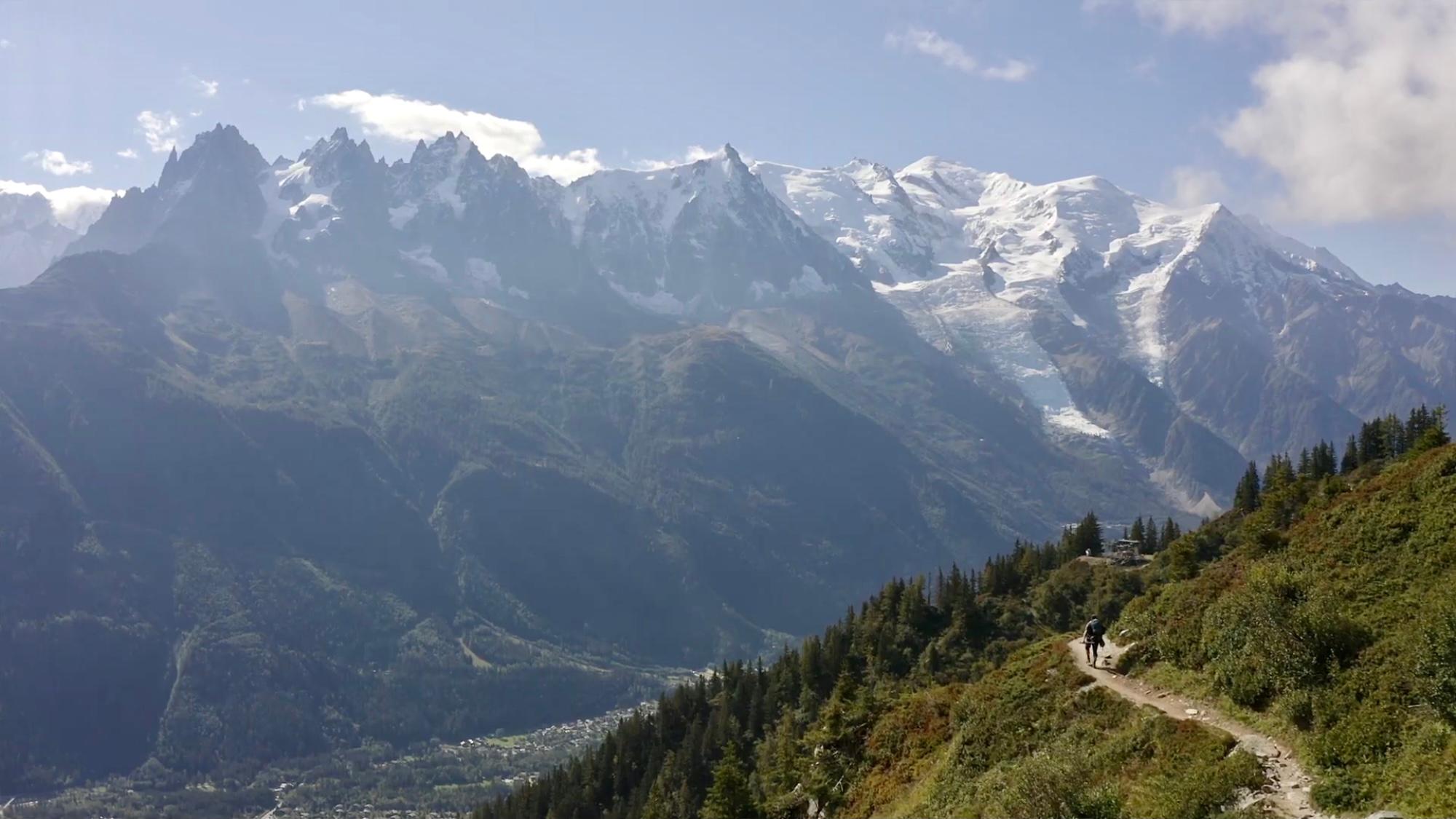
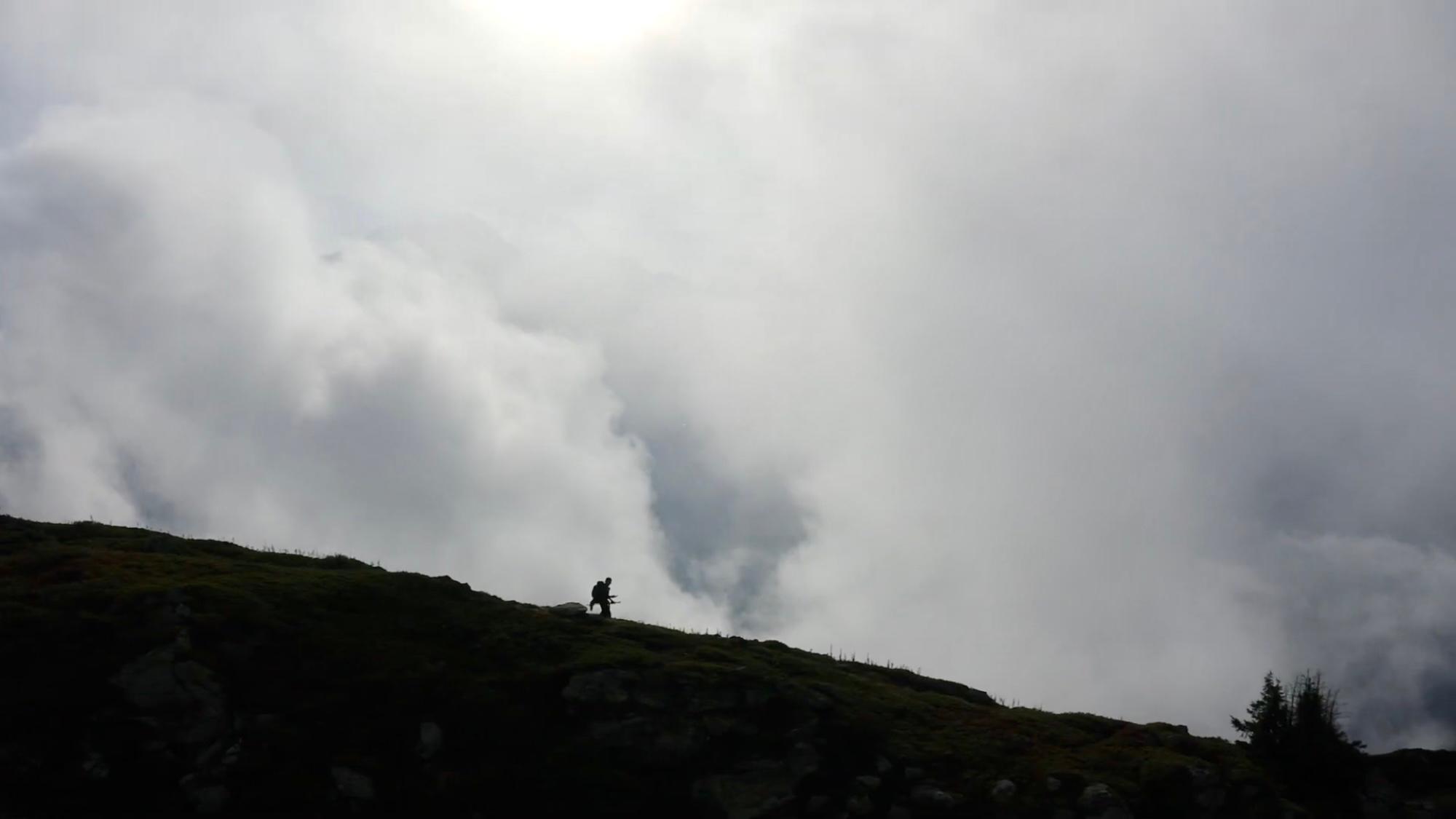
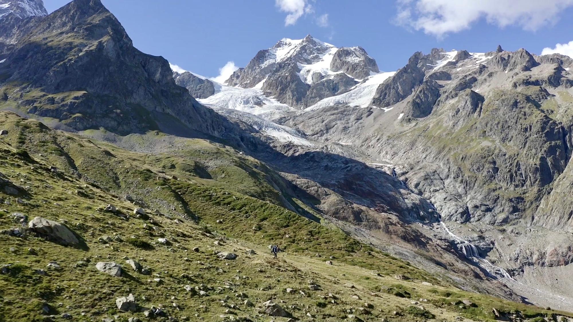
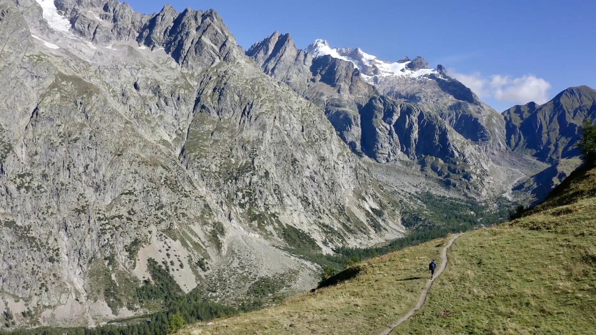
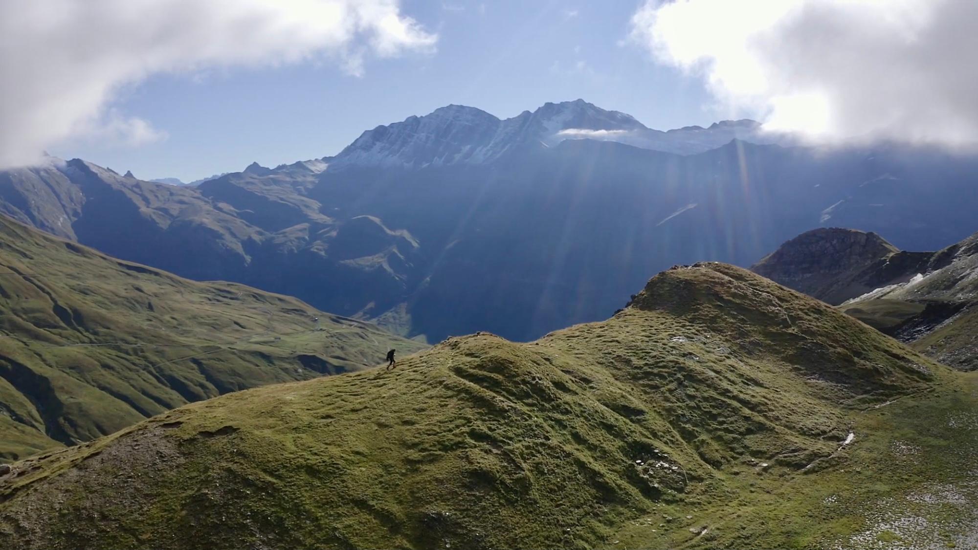
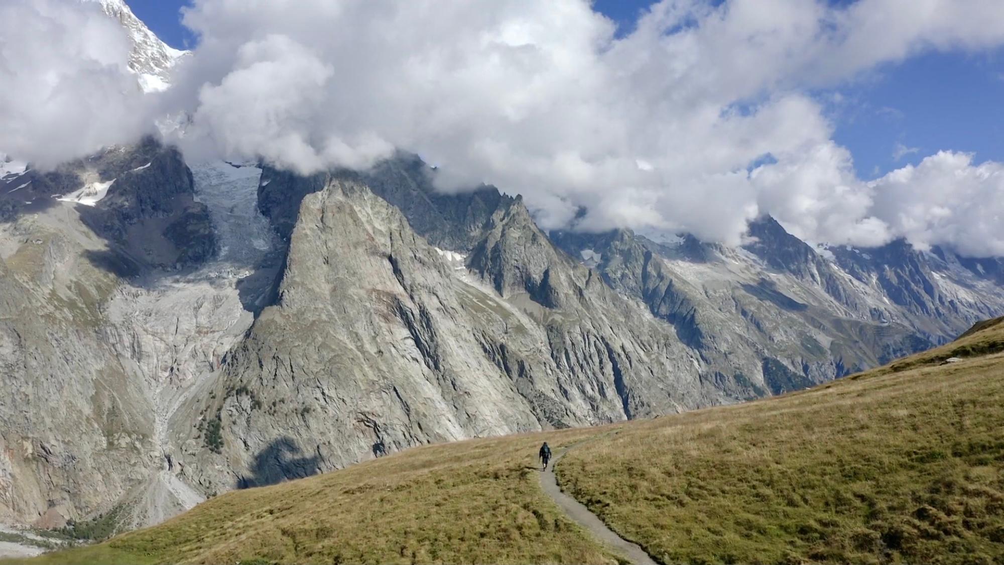
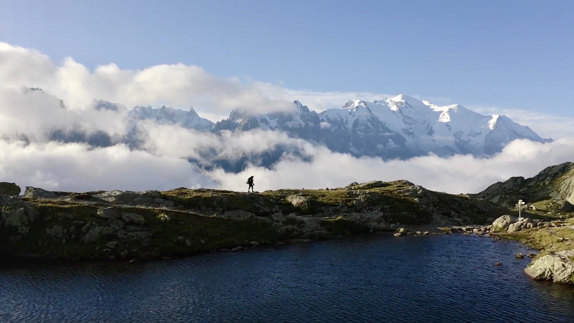
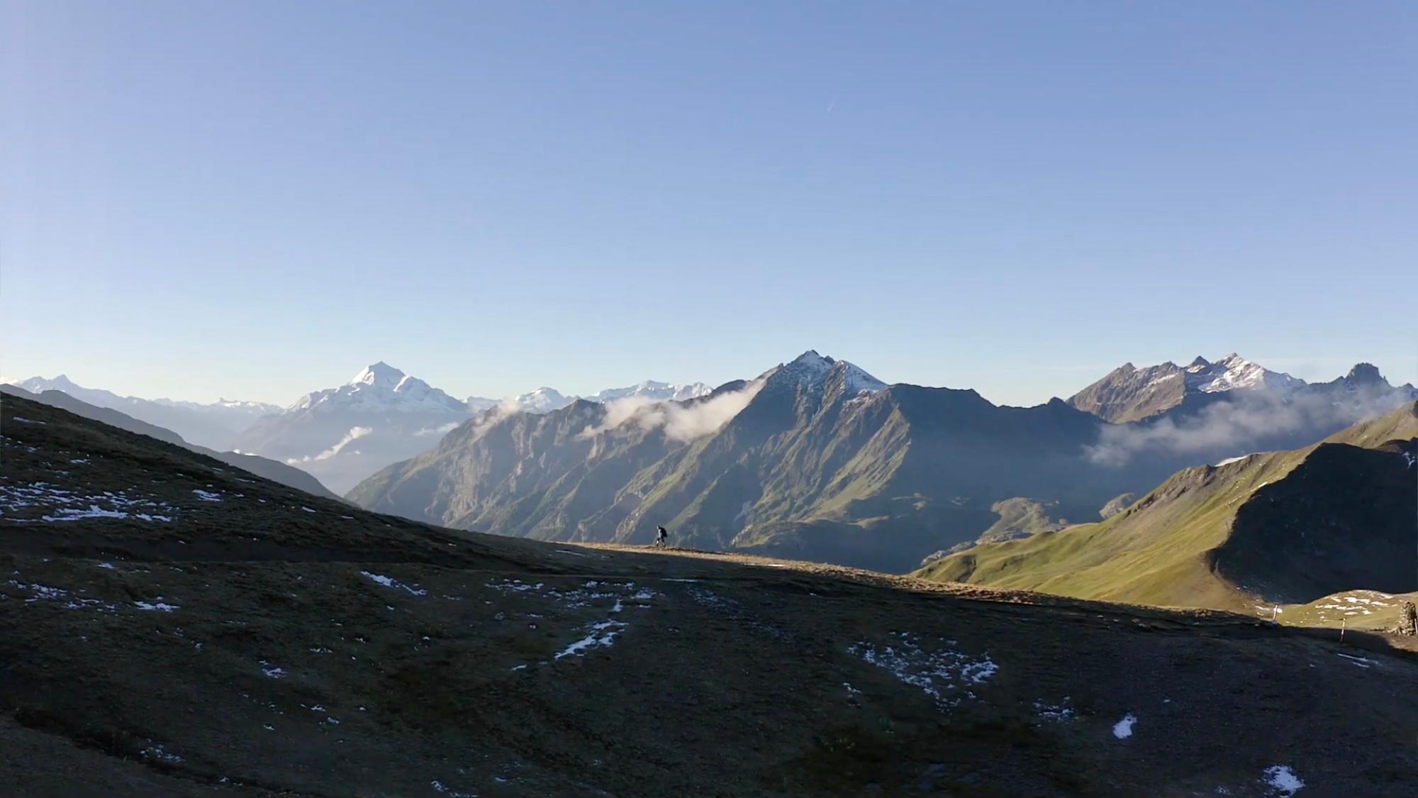
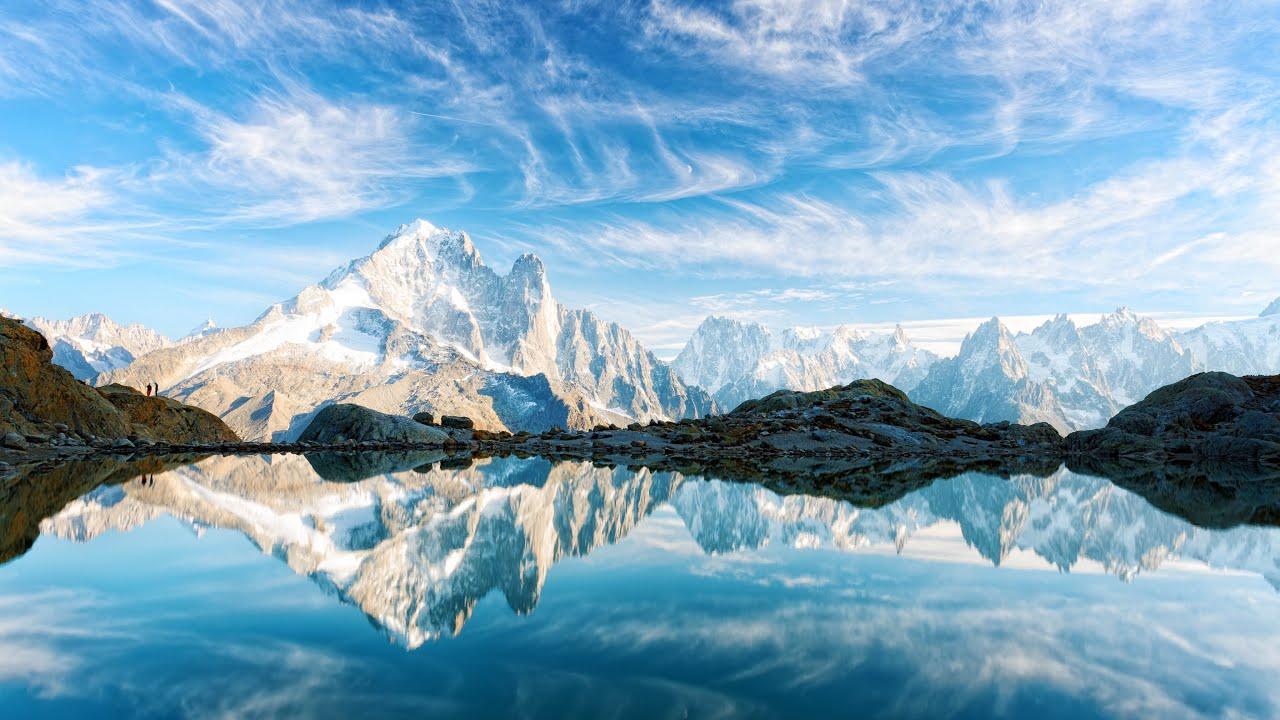
The Tour du Mont-Blanc is a popular long-distance hiking trail in Europe. The Tour du Mont-Blanc (also called Mont Blanc Trail) is a long-distance hiking trail around the mountain massif of the same name in the French, Italian and Swiss Alps. An incredibly beautiful, panoramic and sometimes foggy hike awaits you on the Tour du Mont Blanc. I found the tour terrific. Chapeau!
The Tour du Mont-Blanc is a popular long-distance hiking trail in Europe. The Tour du Mont-Blanc (also called Mont Blanc Trail) is a long-distance hiking trail around the mountain massif of the same name in the French, Italian and Swiss Alps. An incredibly beautiful, panoramic and sometimes foggy hike awaits you on the Tour du Mont Blanc. I found the tour terrific. Chapeau!
As always, I recommend my video of the tour:
Go to the detailed description here:
https://www.hikingfex.com/post/tour-du-mont-blanc
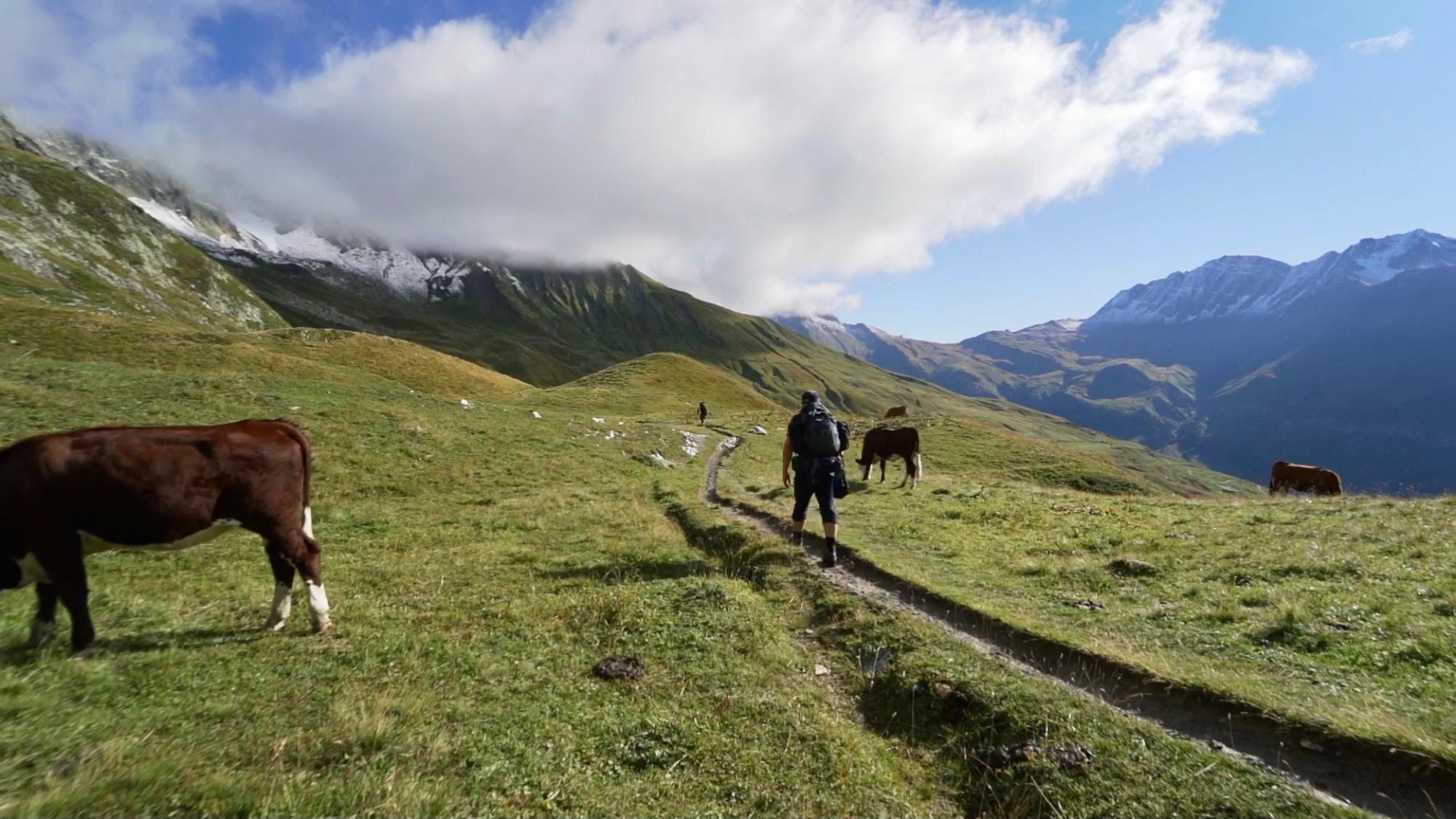
The tour was an incredible experience. Actually a MUST for every hiker with a preference for high mountains and long-distance hikes. The tour has it all, lush green alpine pastures, barren rocks, fantastically beautiful huts and idyllic villages. The Mont Blanc massif can be admired from three countries. I found the tour rather easy overall, as the paths are well developed and there is also sufficient provision. You can also simply do the tour from hut to hut. Reservations are recommended for the huts. Of course, you have to watch out for alpine dangers (weather, etc.).
For optimal preparation for any tour, I recommend the workouts on my Youtube channel: https://www.youtube.com/playlist?list=PLGoWuvyH709udlrR_JxzOJeuTuGRaz6BI
.Recommended stages: (I shortened the tour to 8 days with the same length)
Day 1 Les Houches (1008 m) – Chalets de Miage (1559 m) Time: 6 hours Altitude gain: +1200m, -600m
Day 2 Chalets de Miage (1559 m) – Ref. de la Croix de Bonhomme (2433 m) Time: 7½ hours Altitude gain: +1300m, -700m
Day 3 Refuge de la Croix-de-Bonhomme (2433 m) – Rifugio Elisabetta Soldini (2035 m) Time: 8 hours Altitude gain: +1000m, -1350m
Day 4 Rifugio Elisabetta (2035 m) – Courmayeur (1224 m) -Rifugio Bertone (1991 m) Time: 8 hours Altitude gain: +950m, -900m
Day 5 Rifugio Bertone (1991 m) – Col Sapin (2436 m) – Rifugio Elena (2060 m) Time: 7 hours Altitude difference: +1150m, -1050m
Day 6 Rifugio Elena (2060 m) – Petit Col Ferret ( 2488 m)- Cabane de la Léchère (1750 m) Time: 4 hours Altitude gain: +400m, -700m
Day 7 Cabane de la Léchère (1750 m) – Le Relais d’Arpette (1680 m) Time: 6 hours Altitude gain: +700m, -850m
Day 8 Le Relais d’Arpette (1680 m) – Fenêtre d’ Arpette ( 2665 m) Gîte Le Peuty (1326 m) Time: 7 hours Altitude gain: +1000m, -1350m
Day 9 Gîte Le Peuty (1326 m) – Col de Balme (2191 m) – Châlet de la Flégère (1877 m) Time: 8 hours Altitude gain: +1350m, -800m
Day 10 La Flégère (1877 m) – Brévent (2526 m) – Les Houches (1008 m) Time: 6 hours Altitude difference: +650m, -1500m
Itinerary
Best period to go there
Prestations
Author\s note
I would appreciate your feedback
.
Follow me on Youtube: https://bit.ly/2yCMr4M
Follow me on Facebook: https://www.facebook.com/christian.sommer.35
Follow me on Instagram: https://www.instagram.com/christianxsommer/
Directions
Les Houches – Le Truc – Ref. de la Croix de Bonhomme – Rifugio Elisabetta Soldini – Rifugio Bertone – Gîte Le Peuty – Le Relais d’Arpette – Col de Balme – Les Houches
Getting there
From Geneva airport, take the bus to Charmonix and then walk approx. 7km to Les Houches. Of course also possible by car.
There is public transport in Les Houches, Charmonix, Courmayeur and Martigny. The nearest airport is in Geneva (approx. 1 hour by bus)
.
Flight to Geneva return approx. 100 euros. Bus from Geneva to Charmonix 15 euros.
