Except the Vichères rando parc, these routes are neither marked nor secure. Anyone using ski touring routes is solely responsible for their own actions. Pays du St-Bernard declines all responsibility in the event of an accident and gives no guarantee as to the topicality, accuracy or completeness of the information provided.
Be accompanied by a certified mountain guide. Find their contact details on here.
Consult the avalanche bulletin by clicking here!
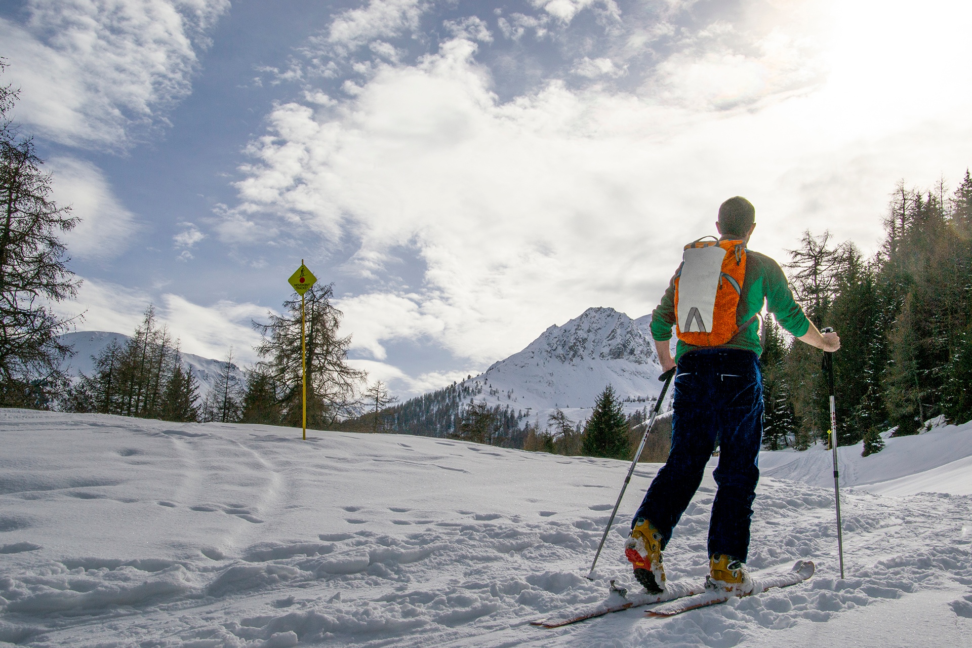
From the forest of Vichères to the ridge between the Entremont Valley and the Val Ferret!
This medium level course takes you into very different worlds until the panorama gives you the turn!
Itinerary
Best period to go there
Prestations
Author\s note
Make a welcome stop at the snow bar in the middle of the course!
Directions
Head north-west through the forest and then west before branching off to the south to climb to Plan Beu, Plan Monnay and then the Bavon ridge. You will pass in front of the snow bar to continue to the right of the ski area until you reach La Téjeure.
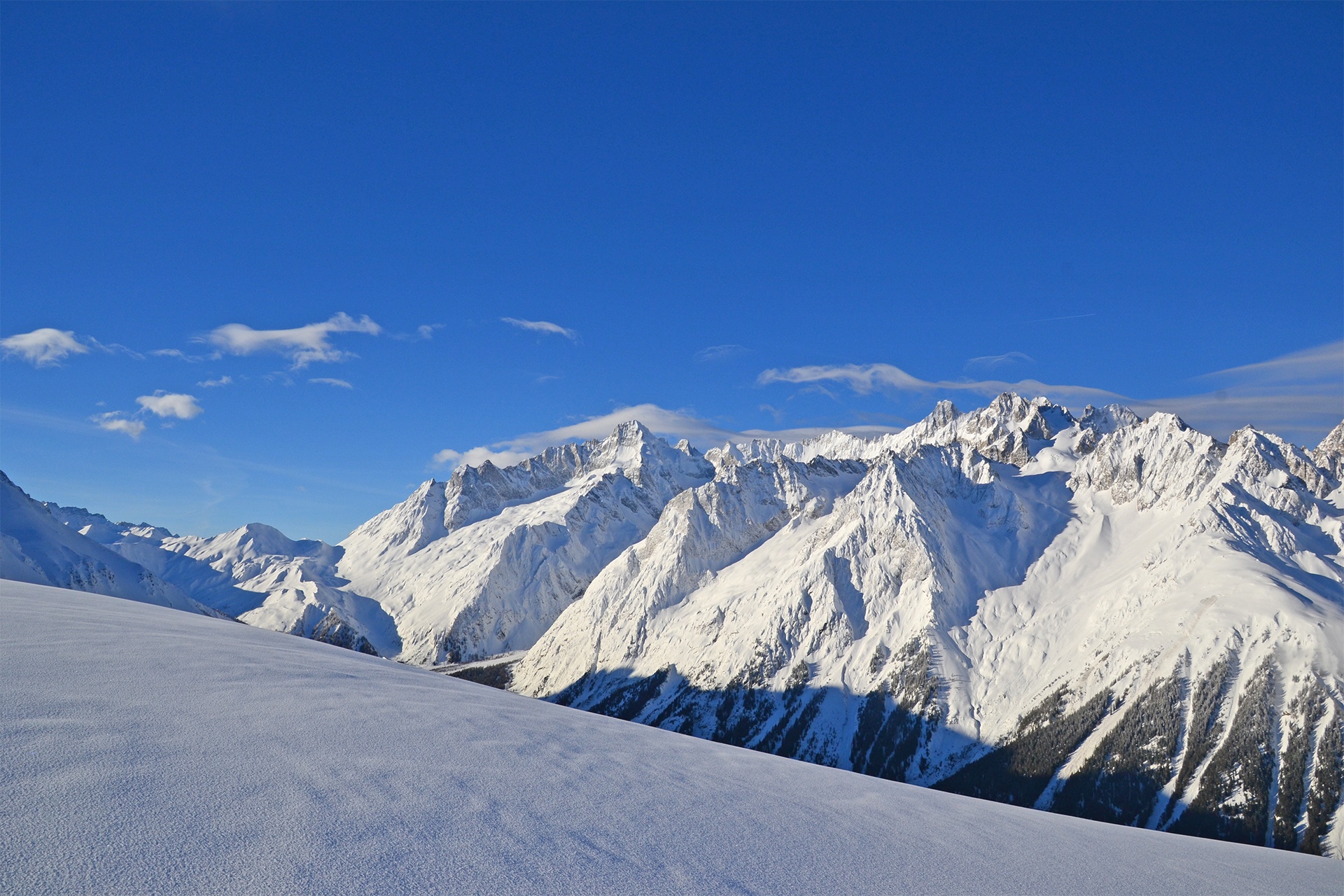
On your right, you will discover the Catogne in the shape of a volcano, the Dents du Midi, Champex and its lake, then the whole Val Ferret with the Dolent, the French-Italian-Swiss border, as a highlight.
On your left, the imposing Combins massif with the Grand Combin at 4,314 metres, the second highest peak in French-speaking Switzerland!
Getting there
Leave the highway at Martigny.
Follow the direction Grand-Saint-Bernard until Liddes.
Turn right after the tourist office.
Join Dranse then go up to the departure of the chairlift of Vichères-Liddes.
Some roadside parking spaces
Take the train to Orsières then the bus to Vichères (only in winter)
Consult the timetable on www.cff.ch