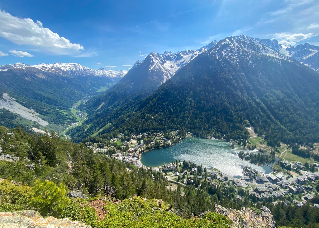
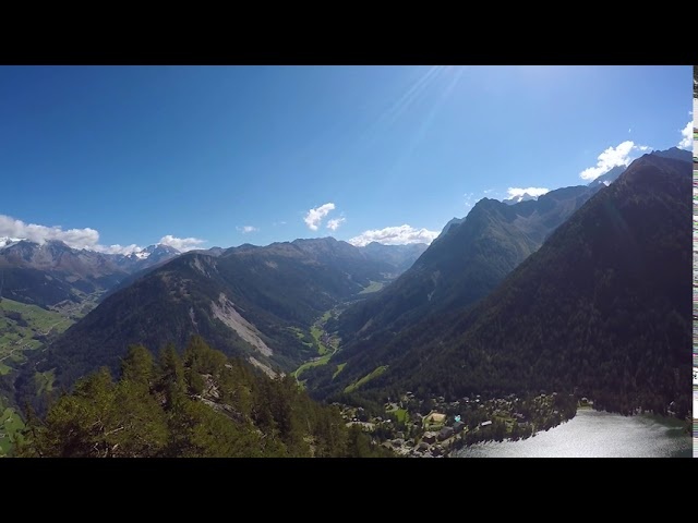
Family walk on the heights of Champex-Lac.
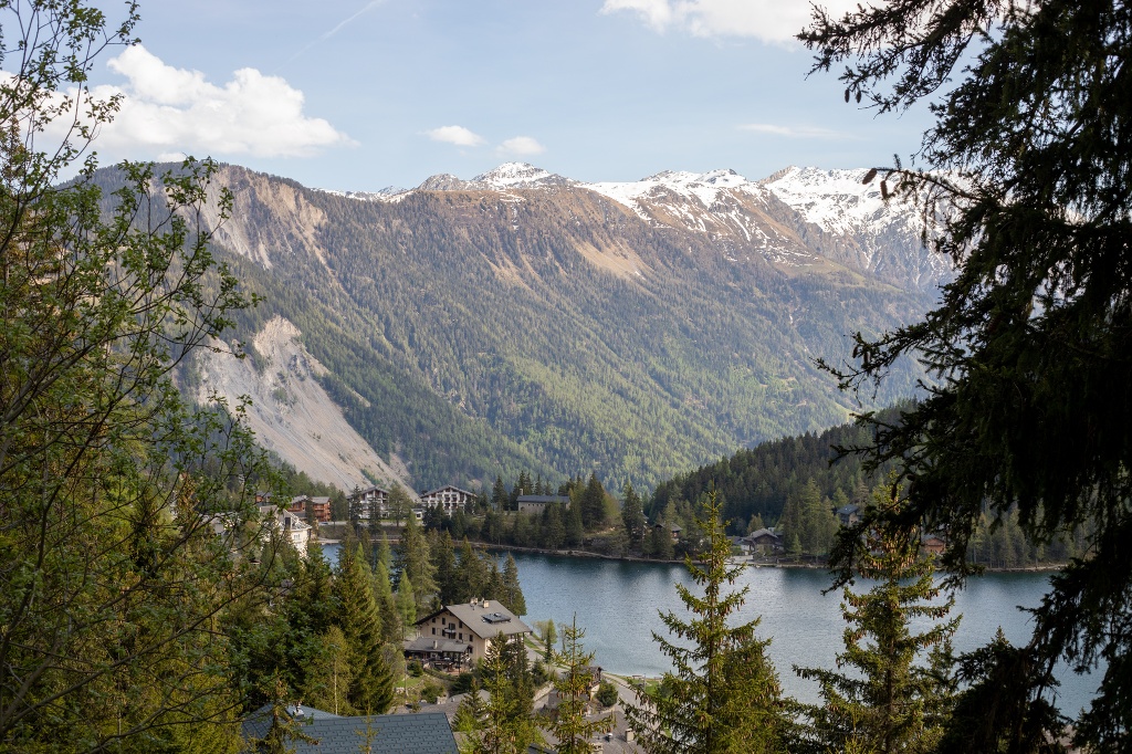
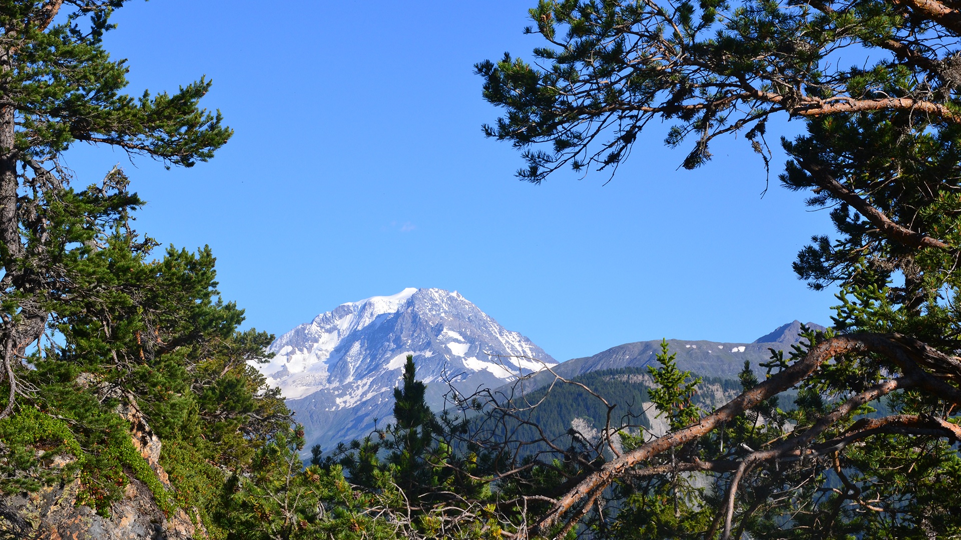
A 2 hour hike with a magnificent view of the lake of Champex, the Val Ferret and the Entremont Valley with the Combins and the Vélan!
Itinerary
Best period to go there
Prestations
Author\s note
To extend the walk, you can do a part of the Devin trail.
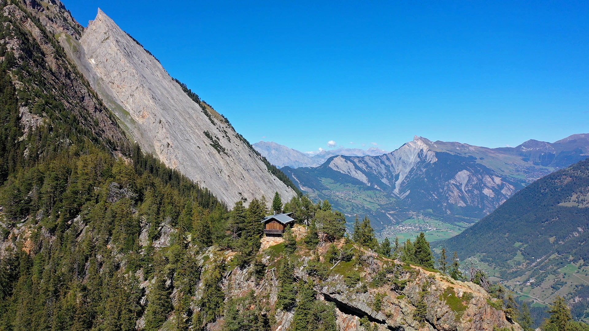
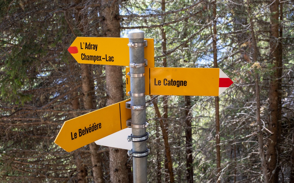
Directions
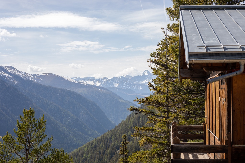
Your hike starts at the place called “Le Signal” and follows, at first, the direction of the “Sentier du Devin” (Soothsayer’s Path). The path then winds its way up to the Belvedere chalet. Follow the path leading to the Catogne for 1 kilometre , then take the path that descends quite steeply on the left and leads you to Champex-Lac. To avoid this descent, the return on the same path is easy.
Getting there
Exit the motorway at Martigny.
Follow the direction Grand-Saint-Bernard then leave the main road at Orsières and follow Champex-Lac.
It is also possible to leave the main road at Bovernier and go through Les Valettes but the road is narrow and very winding.
Free parking by the lake
Take the train to Orsières and then the bus to Champex-Lac.
Consult timetables on www.cff.ch