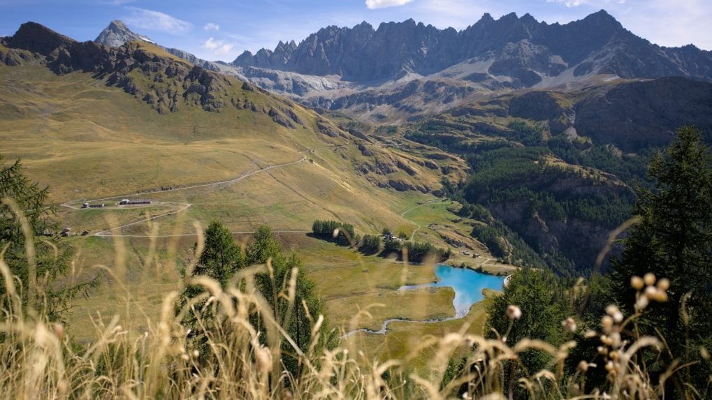
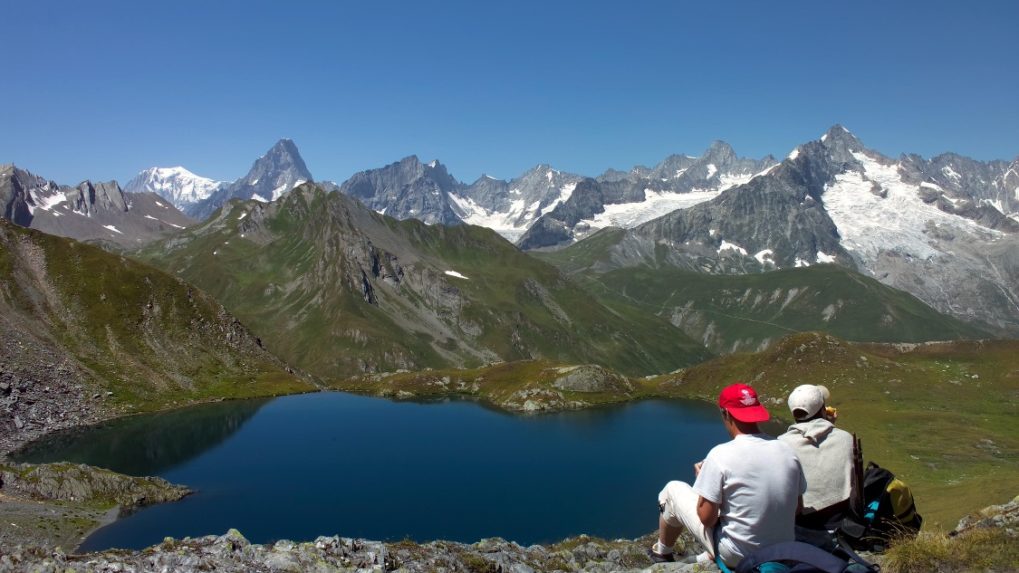
The Grand Tour des Combins – a 9-day alpine trek between Switzerland and Italy! Explore the new Grand Tour des Combins: an unforgettable alpine adventure that will immerse you in the heart of one of the most iconic mountain ranges in the Alps! Much more than just a hike, it is an immersive experience that will lead you through breathtaking landscapes, picturesque villages, and majestic peaks!
Discover the majesty of the Grand-Combin: walk ancient trails offering 360-degree views of the snow-covered peaks of the Grand-Combin, one of the highest mountains in Western Europe.
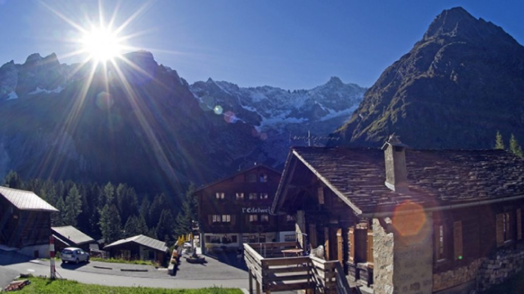
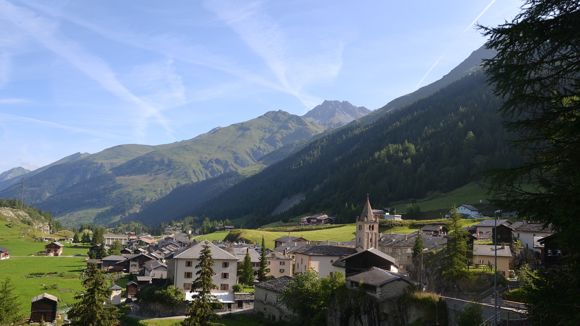
Experience the authenticity of mountain villages: meet warm mountain communities and discover local culture while passing through preserved villages. Charming inns and restaurants will welcome you for well-deserved breaks, letting you taste the culinary delights of the region.
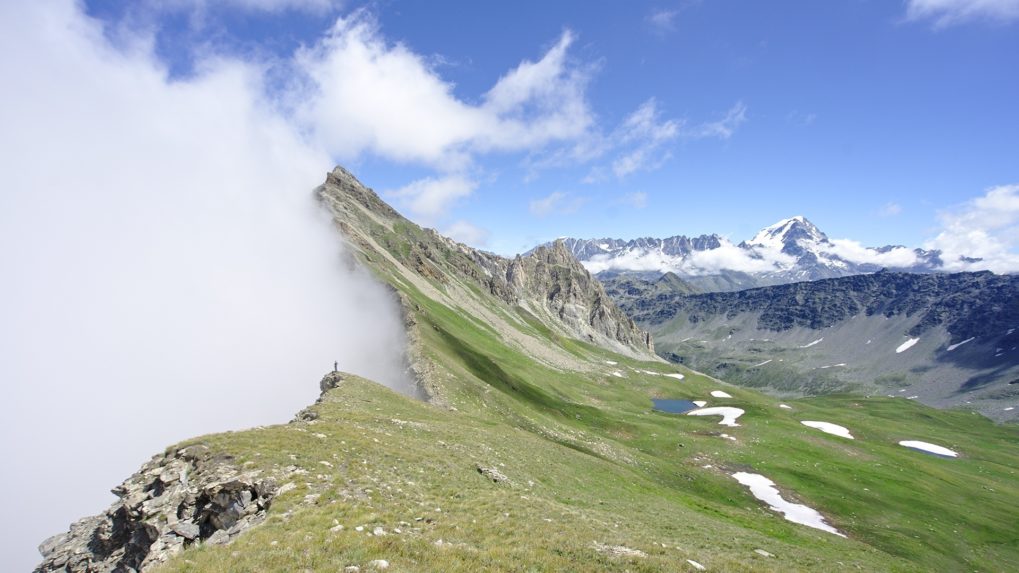
Challenge your limits: slightly more demanding than its famous neighbor, the Tour du Mont-Blanc, the Grand Tour des Combins is a beautiful physical and mental challenge. Cross alpine passes, ford crystal-clear rivers, and feel the adrenaline as you reach new summits.
An unforgettable journey: The Grand Tour des Combins will leave you with memories etched forever. Photograph exceptional panoramas and live an adventure that will remain etched in your memory long after leaving these majestic peaks.
Prepare to feel the very essence of the Alps. Book now for an unrivaled experience on the Tour des Combins, where adventure meets natural splendor.
Itinerary
Best period to go there
Prestations
Directions
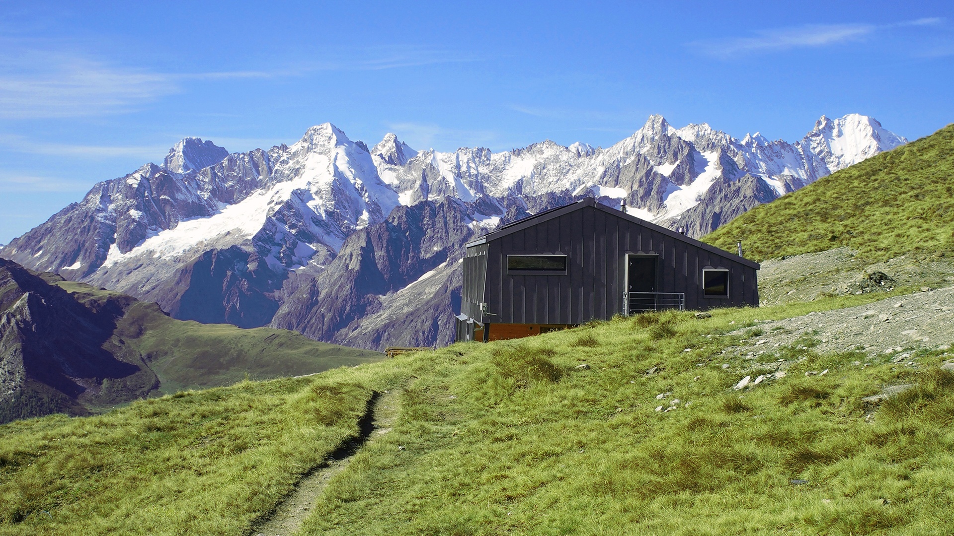
From Bourg-Saint-Pierre, head north towards Boveire then the alpine pasture of Coeur before reaching the Mille hut, the first stage of this trek. The second.
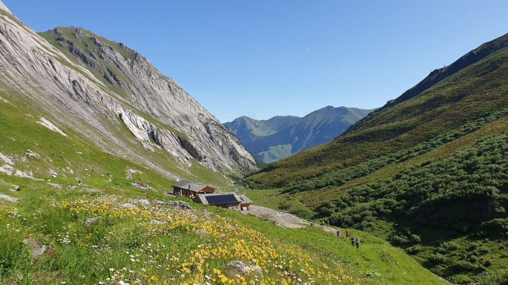
After passing the Col de Mille, the TDC trail gradually moves northeast to reach, after about 1 hour, the Treutse at 2092 m. Heading east, the path traced through bilberry bushes and larches leads us to the Brunet Hut.
Heading southeast, the path takes us to the Sery footbridge set over a narrow gorge and, without major difficulties, we reach the place called “la Maye.” A steep zigzag climb leads us to the large footbridge nearly 200 meters long that spans the waters and the Corbassière Glacier. Then, in just under an hour on an easy trail, we arrive at the François Xavier-Bagnoud Hut at Panossière.
After following the moraine of the right bank of the Corbassière Glacier, we start a short but steep climb to the Col des Otanes at 2870 m, the highest point of the TDC. In an hour’s descent we reach the Tseumette before joining Mauvoisin.
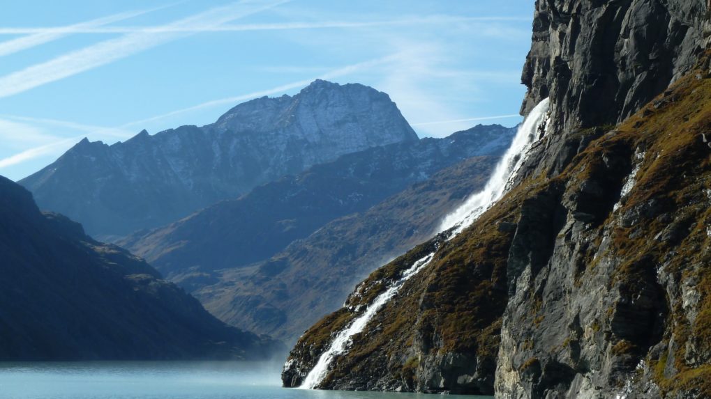
By road, we access the crest of the dam which we cross to reach the right bank of the lake. Continue through a series of galleries, passing waterfalls, then a good trail leads to the Giétro Stables, buildings listed as “historic monuments.” Cross the picturesque Tsofeirë plateau to reach the Tsofeirë pass and finally descend to the Chanrion hut.
From Chanrion, a comfortable trail leads us to the Fenêtre Pass (Durand’s Window). From Durand’s Window, the well-marked path first crosses a scree slope to finally reach the Thoules pastures. Here begins the farm road that leads to the Balme alpine pasture then into the Conca di By. From there, the path climbs and joins 150 m higher the Ru de By stream which we follow to Néan. Here we leave the Ru de By to climb to the Tsa de Champillon from where we join the Letey Hut.
From the Letey Hut to Champillon, the quite steep path leads to the Champillon pass. We then take the descent to the Menouve valley, up to the Pointier mountain then the path climbs to the Combe Germain alpine pasture and then leads to the Eternod Stream which we follow west through a beautiful larch forest to reach the Barasson Mountain. From here, a path reaches the forest road that descends to Saint-Rhémy.
From Saint-Rhémy, we join the main village of Saint-Léonard which we cross up to the church before continuing west and passing under the international road. We continue west to pass again under the covered road towards the Crévacol ski area. The path then climbs into the Comba de Merdeux to reach the Pier Giorgio Frassati refuge passing through several alpine pastures.
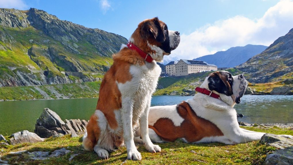
From the Frassati refuge, we set off northeast to reach the Ceingles pass at 2817 m before descending into the Comba des Thoules then ascending briefly to reach the Saint-Rhémy pass at 2563 m. After some switchbacks downhill, the path reaches Praz de Farcoz and the Great Saint Bernard road above Fonteinte to finally reach the Great Saint Bernard pass, its hospice and its famous dogs!
This stage starts by going back on the Italian side to the Baou alpine pasture, descending, before climbing back to the border to reach the Ferret Window and then on a pleasant path to the Fenêtre lakes. The path continues descending to the Plan de la Chaux alpine pasture then a stony road continues descending. The path now leads to La Fouly. The last village of the Val Ferret is located at 1600 m altitude. The hike ends surrounded by typically Valais chalets and the imposing peaks of Mont Dolent, Tour Noir, and Aiguille d’Argentière.
The morning hike leads to the Basset pass… nearly 1200 m of elevation gain (or 400 m less with the chairlift)! Chamois, ibex, and marmots make the effort forgettable and the panorama amazes us… From there, a nice descent awaits us to the Tsissette hut.
From the Tsissette, we head north to leave the Combe de l’A and reach the village of Drance on the banks of the Dranse River before climbing to Liddes, the main village of the namesake municipality. The path then heads south into the Great Saint Bernard valley to gradually climb up to Bourg-Saint-Pierre.
Getting there
Possible starting points: Mauvoisin Dam, Bourg-St-Pierre or Saint-Rhémy en Bosses
Exit the motorway at Martigny or Aosta.
For Mauvoisin, follow the Great Saint Bernard then turn left at Sembrancher and continue to the end of the Val de Bagnes.
For Bourg-St-Pierre, follow the Great Saint Bernard from Martigny to the village.
For Saint-Rhémy en Bosses, follow the Great Saint Bernard from Aosta to the village.
Free parking at Mauvoisin, Bourg-St-Pierre or Saint-Rhémy en Bosses
Possible starting points: Mauvoisin Dam, Bourg-St-Pierre or Saint-Rhémy en Bosses
Take the train to Martigny, then to Le Châble, and the bus to Mauvoisin.
For Bourg-St-Pierre, take the train to Orsières, then the bus to Bourg-St-Pierre.
For Saint-Rhémy en Bosses, take the train to Aosta, then the bus to Saint-Rhémy en Bosses
Check the schedules at www.cff.ch