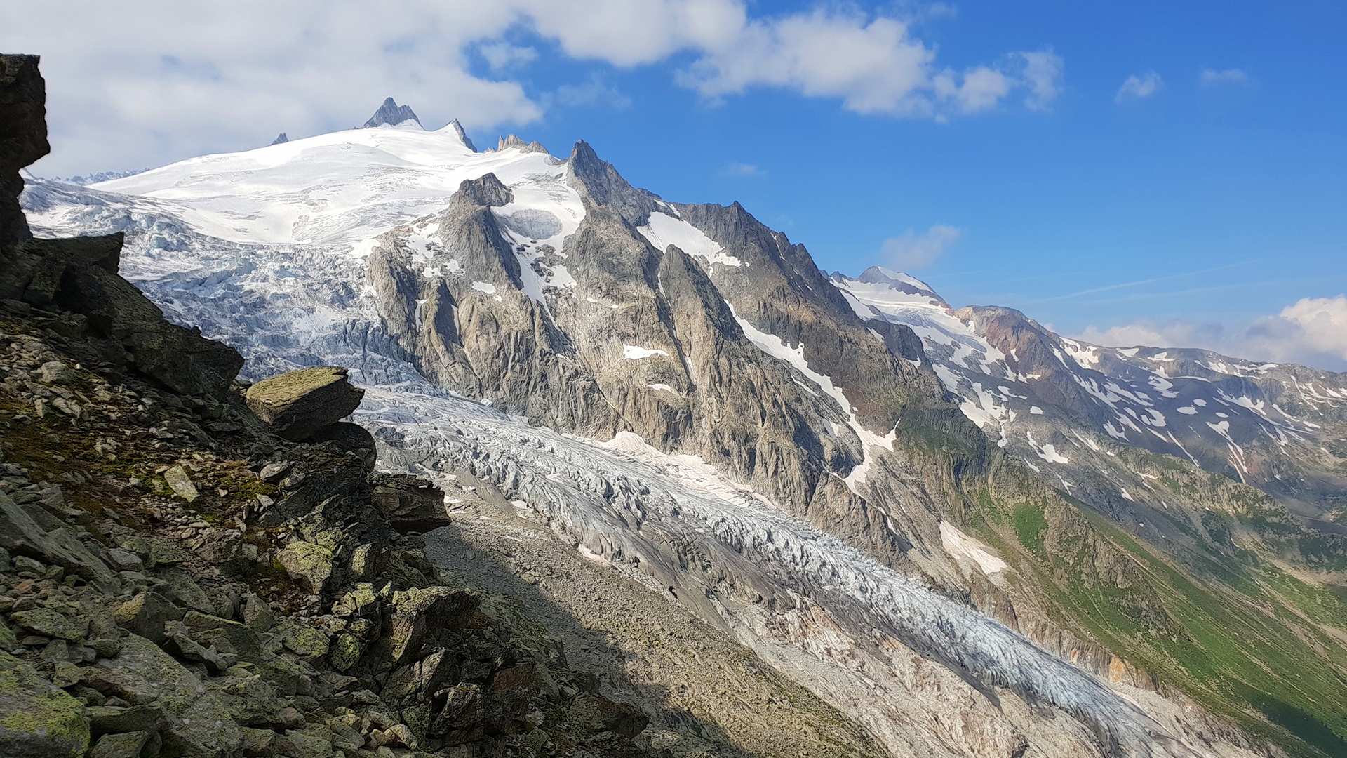
Challenging hike through the Val d'Arpette.
Departure from Champex-Lac to go to the Fenêtre d’Arpette, the highest point between the Vallon d’Arpette and the Vallée du Trient.
Itinerary
Best period to go there
Prestations
Directions
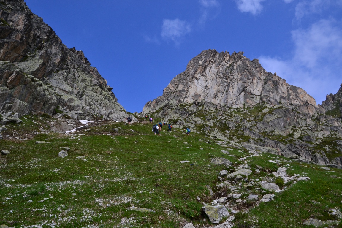
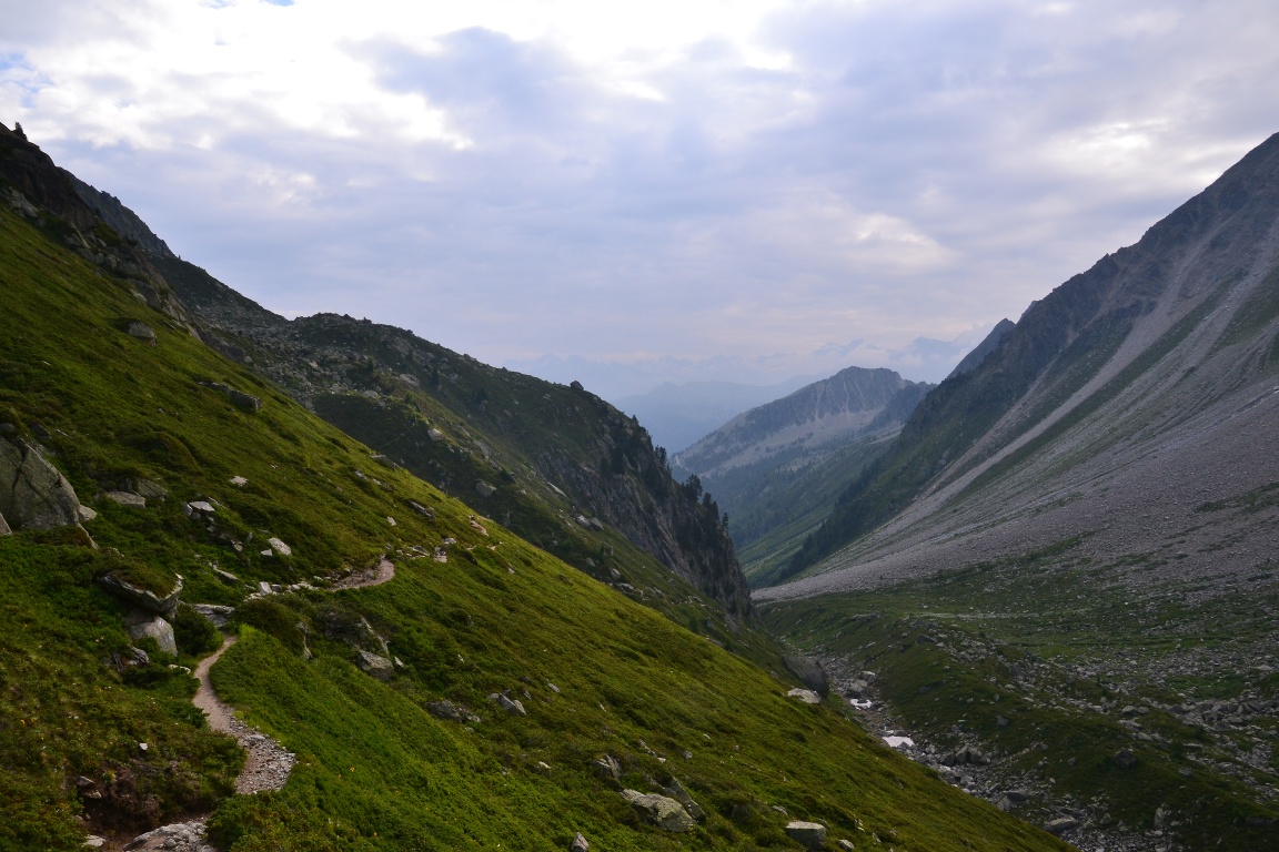
From the bottom of the Breya chairlift, go to the restaurant d’Arpette at the foot of the valley of the same name. Cross the large meadow to the sparse larch forest. Then take the path on the right that crosses the brook and goes towards the Fenêtre d’Arpette. The last section of this hike can be more difficult for less experienced hikers.
Getting there
Exit the motorway at Martigny. Follow the direction Grand-Saint-Bernard then leave the main road at Orsières and follow Champex-Lac.
It is also possible to leave the main road at Bovernier and go through Les Valettes but the road is narrow and very winding.
Free parking by the lake
Take the train to Orsières and then the bus to Champex-télé.
Consult timetables on www.cff.ch