Except the Vichères rando parc, these routes are neither marked nor secure. Anyone using ski touring routes is solely responsible for their own actions. Pays du St-Bernard declines all responsibility in the event of an accident and gives no guarantee as to the topicality, accuracy or completeness of the information provided.
Be accompanied by a certified mountain guide. Find their contact details on here.
Consult the avalanche bulletin by clicking here!
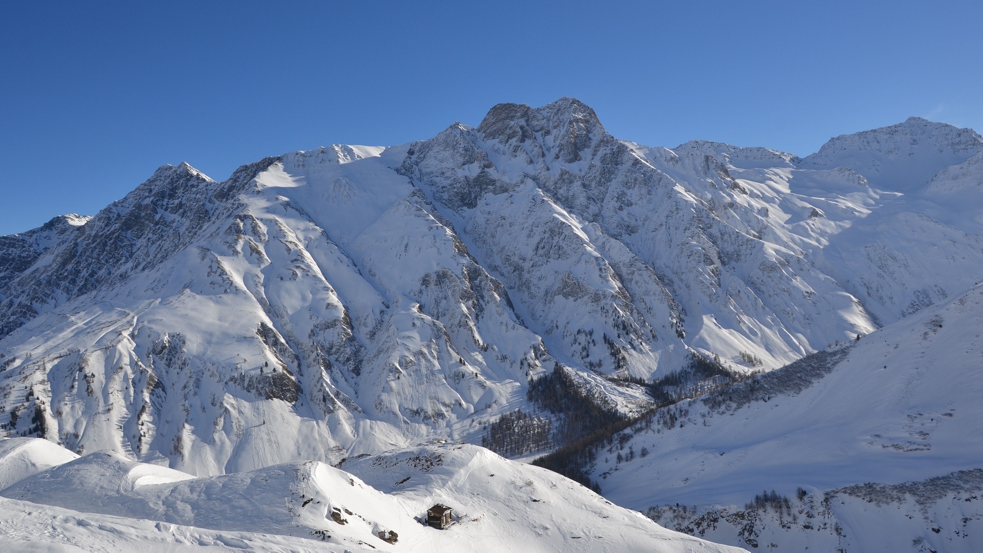
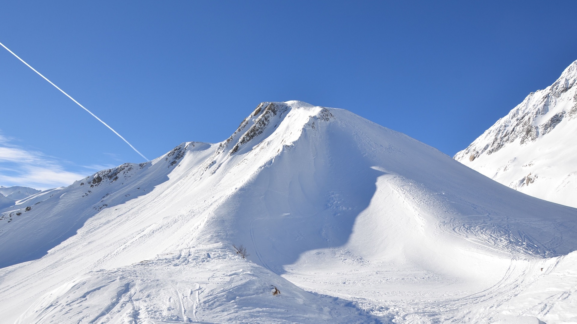
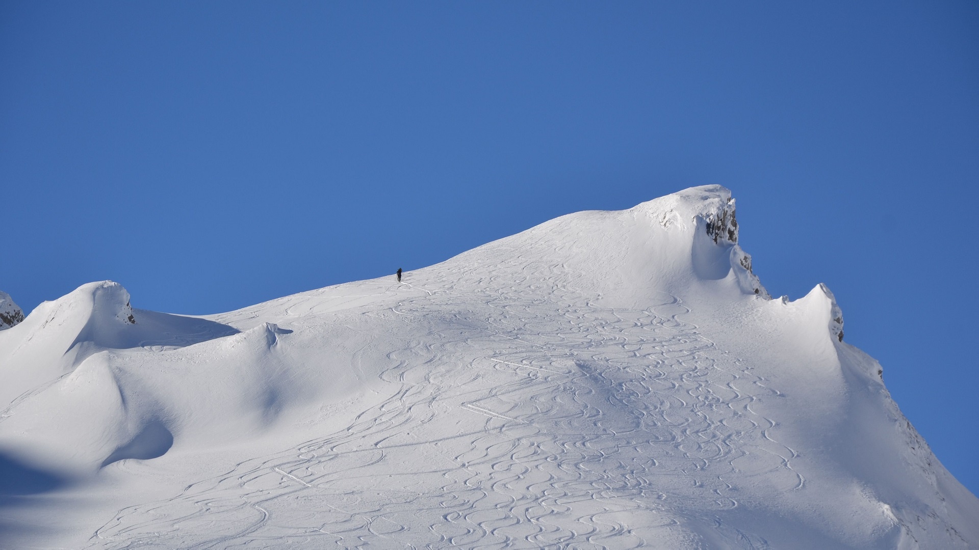
Nice race to reach the first summit of the Val Ferret.
This itinerary of medium difficulty makes it possible to reach the Italian-Swiss border between the small and large Ferret pass.
Itinerary
Best period to go there
Prestations
Author\s note
Be accompanied by a certified mountain guide. Find their contact details by clicking here.
Directions
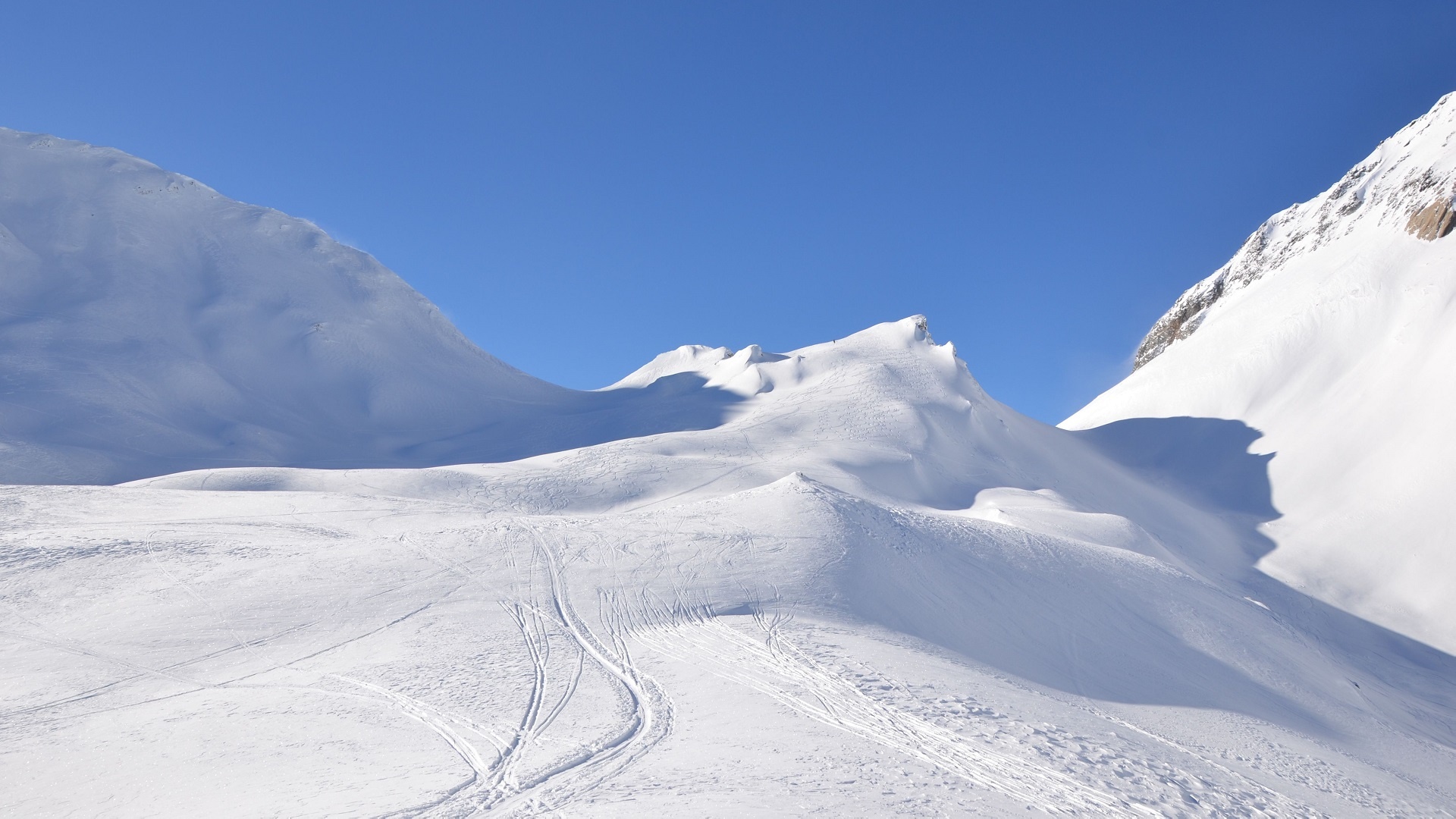
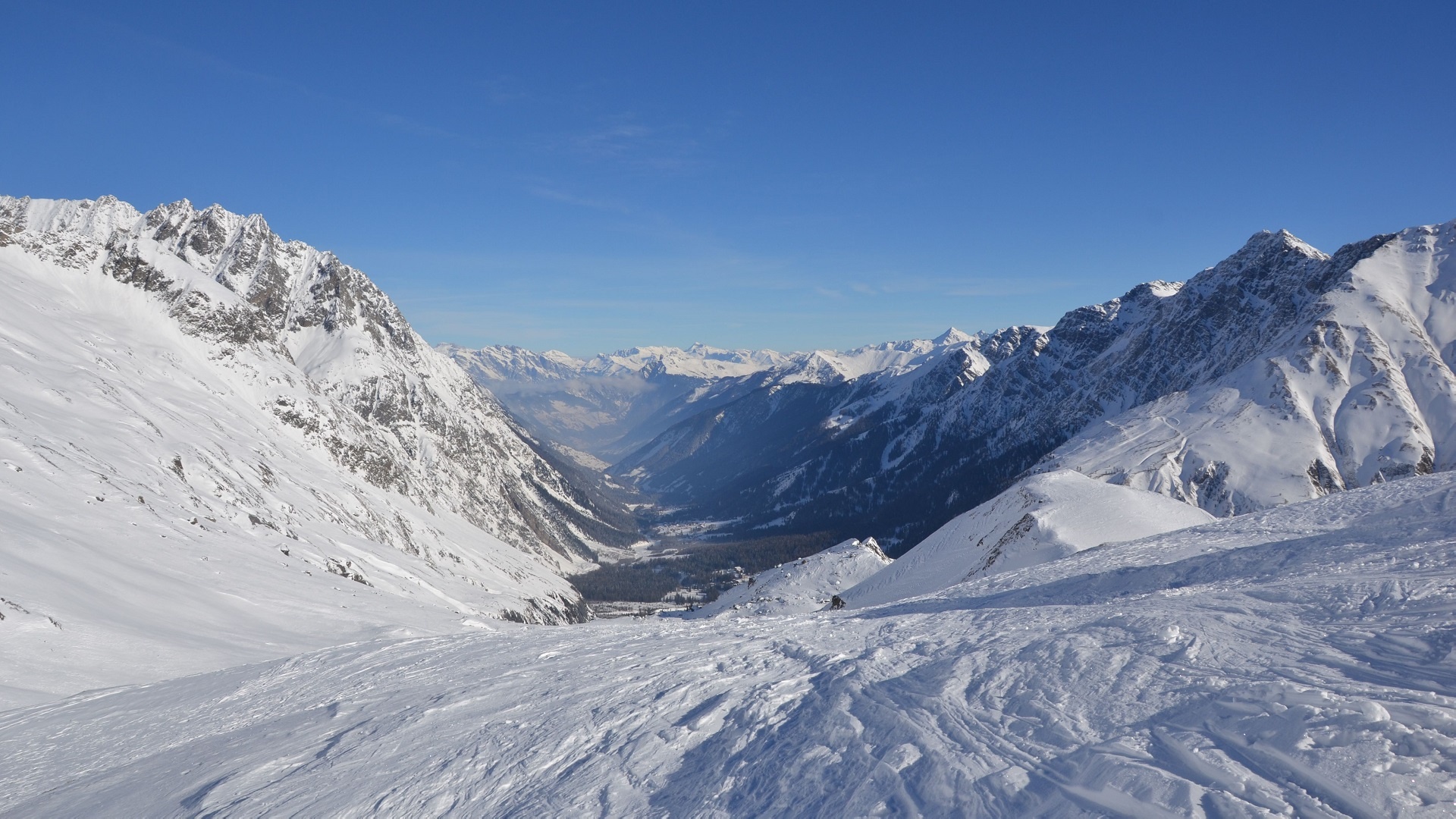
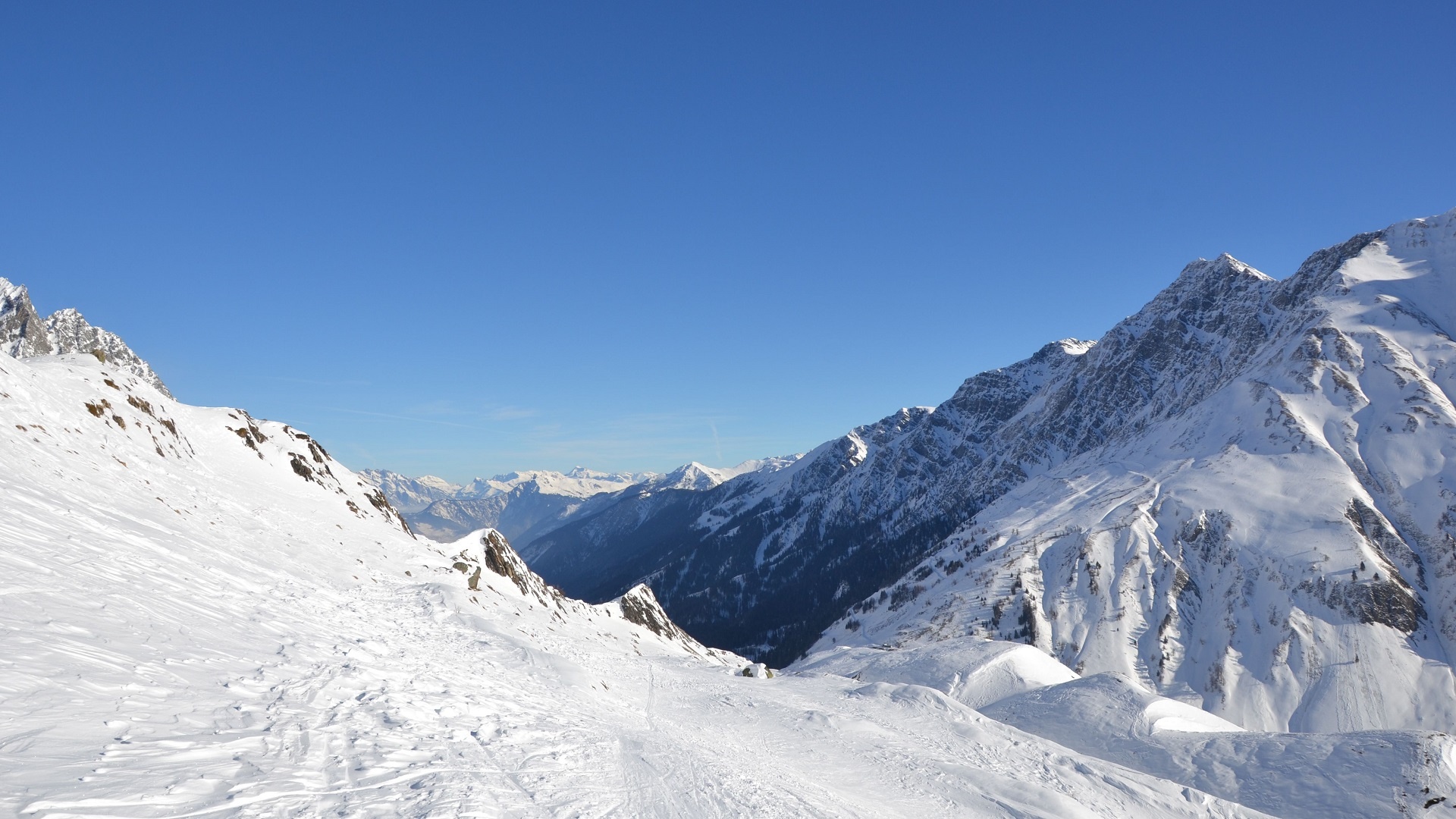
Turn right, cross the river and go up towards La Léchère. Continue in the small coomb south-west to the Crêtet de la Perche. Reach the top of the Combe des Fonds and turn left on a steep slope to reach the top of Chantonnet above the Petit Col Ferret.
Getting there
Exit the motorway at Martigny.
Follow the direction Grand-Saint-Bernard then leave the main road at Orsières and follow La Fouly. Continue to the hamlet of Le Clou.
Park along the road
Take the train to Orsières and then the bus to La Fouly.
Consult timetables on www.cff.ch