Itinerary
Best period to go there
Prestations
Directions
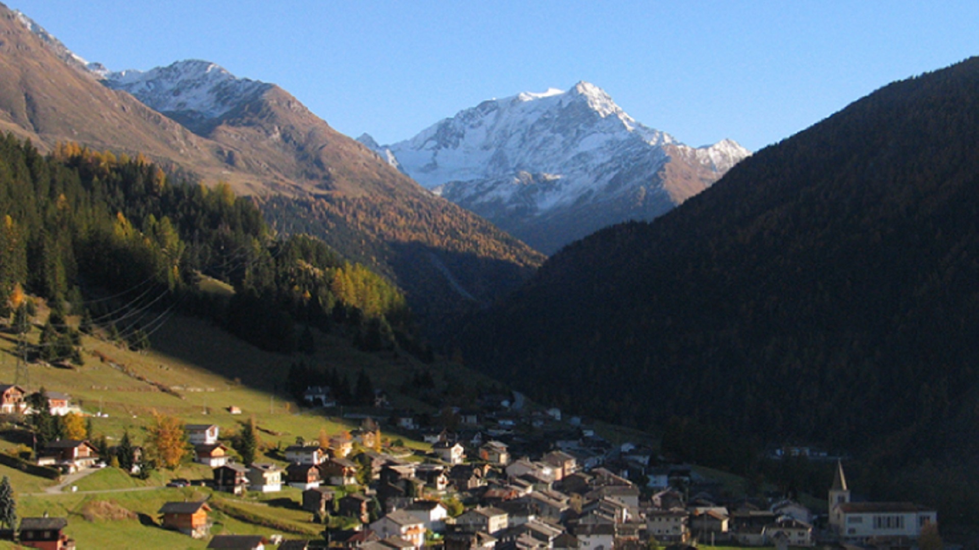
This 32km route from Liddes (1,340m) is the same as the Pecca Bike, a cycle race organised a few years ago. It begins with a descent towards the compensation basin of the Toules dam. From Palazui, follow the right bank of the Dranse d’Entremont up to Bourg-St-Pierre (1,630m).
After crossing the Pont St-Charles, attributed to the Emperor Charlemagne, you climb to the Alpage de la Niord, the highest point of the route (1,725m). Back to Palazui, where a second ascent awaits you in the direction of Roc-Cornet (1,465m), before reaching Vichères, an ancestral hamlet and ski resort. After descending to Les Moulins, you’ll tackle the final climb of the route to Le Clou. A beautiful descent takes you back to Liddes.
Getting there
Exit the motorway at Martigny.
Follow the direction Grand-Saint-Bernard to Liddes.
Access by public transport
Take the train to Orsières and then the bus to Liddes.
Consult timetables on www.cff.ch