Hike the full length of one of the wildest valleys in Valais. Glorious scenery, excellent opportunities to spot wildlife, fascinating geological trail, friendly mountain refuge.
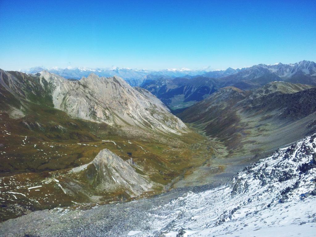
The Combe de l’A is a side valley off the main valley leading up to the Great St Bernard Pass. But while the Val d’Entremont has been an important transit route for thousands of years, the Combe de l’A has remained a virtually untouched wilderness. Today, the valley is a nature reserve covering a variety of alpine habitats from altitudes of 1,400 m to 3,000 m.
This hike along the full length of the valley offers excellent opportunities to see alpine wildlife, from ibex, deer and marmots to ravens and golden eagles. Information panels along the way explain how the rocks and landscape have been shaped by water, snow and ice.
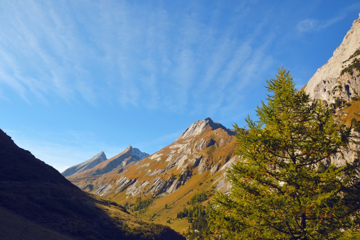
The upper reaches are covered in snow for much of the year, but from late springtime, the valley bursts into colour, the meadows carpeted with alpine flowers. In autumn, especially at dawn or dusk, the sound of the belling of the stags promises an unforgettable experience.
The trail passes through a variety of alpine habitats at different altitudes – forest, wetland, pasture, dry meadow – to climb high above the treeline. The climax of the hike comes at the far end of the valley, at the Col du Névé de la Rousse (2,751 m), where hikers enjoy breath-taking views down into the Val Ferret and across to the Mont Blanc massif.
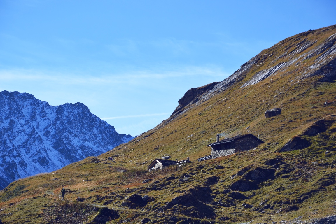
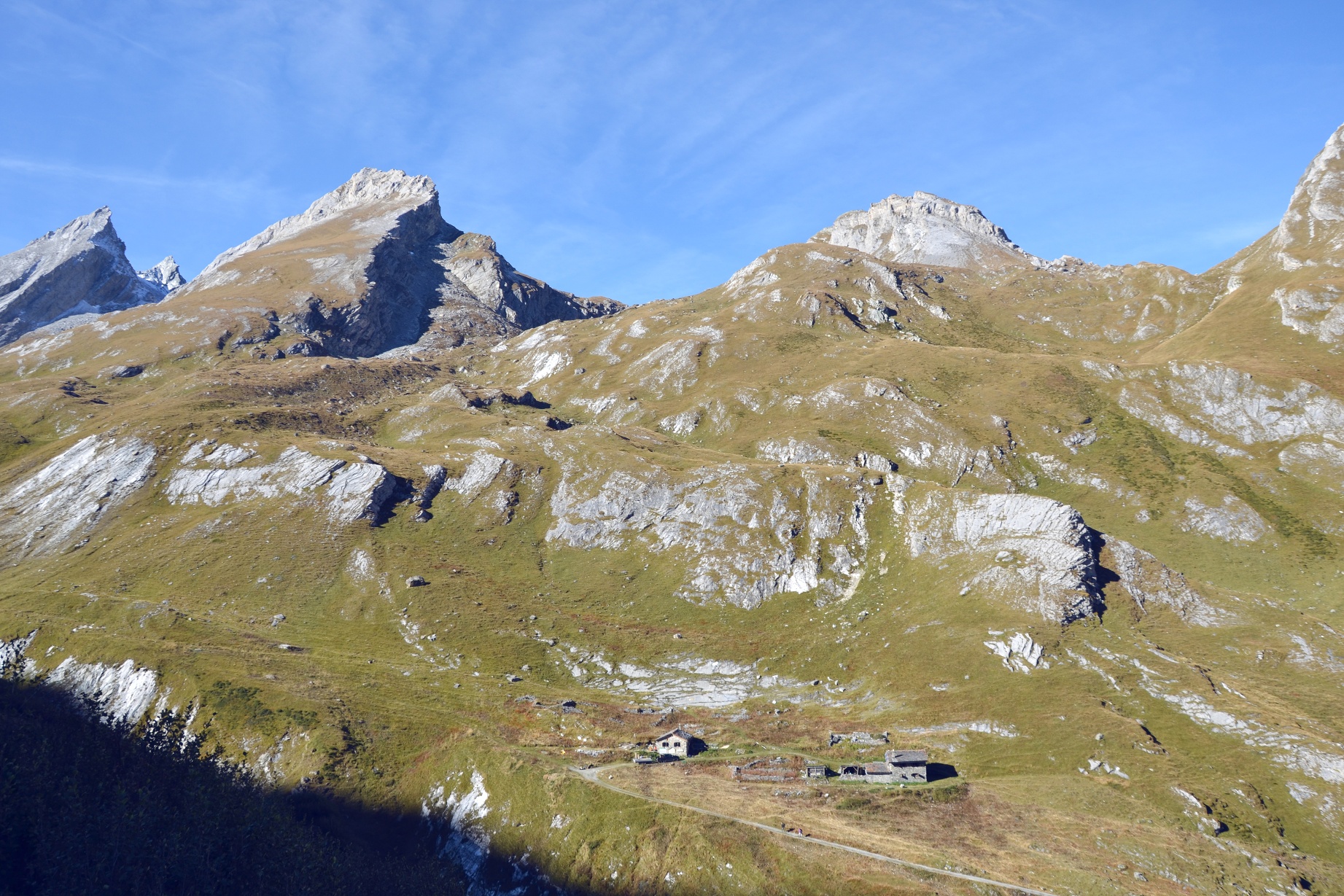
Hikers return to the starting point along the same route. Midway along the valley, the friendly Cabane de la Tsissette serves snacks and meals from the end of June to mid-October – ideal for a refreshment stop either on the way up or down.
Highights:
- Pristine valley, virtually untouched by human intervention
- Wealth of wildlife – eagles, deer, wild flowers – and fascinating geological trail
- Friendly mountain cabin midway up the valley
Itinerary
Best period to go there
Prestations
Author\s note
Bring a pocket lens to admire the detail of the many different flowers, rocks and minerals along the trail.
Directions
A few metres from the chairlift station, a large wooden sign shows the entrance to the Combe de l’A. The first section of the itinerary follows a forest track that gently traverses the slopes until it reaches the valley’s river: the Torrent de l’A.
Beyond, the trail climbs up through the forest before leading up the valley, drawing steadily closer to the river and then crossing it again just before the Cabane de la Tsissette. The path continues climbing to the sweeping alpine meadows around Vouasse before a final ascent to the Col du Névé de la Rousse, which links the Combe de l’A to the Val Ferret.
Return to the start of the walk via the same route.
(Hikers arriving by public transport will start and finish at Liddes. From here, walk downhill and cross the river to reach the hamlet of Dranse beyond. Then follow footpaths to the hamlet of Vichères and to the chairlift car park. This adds about another 1.5 hours each way to the hike.)
Getting there
A9 motorway, exit 22 (Gd St-Bernard). Follow signs for Grand St-Bernard until Liddes, then turn right following signs for Vichères (chairlift).
Free parking at the Vichères chairlift.
Train to Martigny; change on to St-Bernard Express, direction Le Châble. Change platform at Sembrancher for train to Orsières. Change on to postal bus for Liddes. Find full timetable information at sbb.ch.
Starting and finishing the walk at Liddes – as opposed to the chairlift car park at Vichères – adds an extra 4.5 km (1.5 hours) each way.