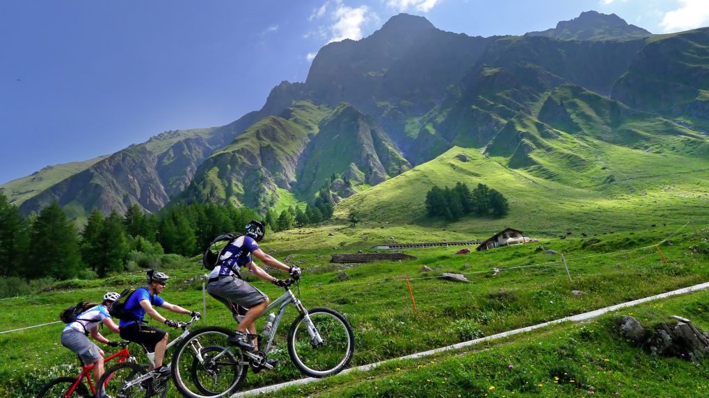
Complete a section of the legendary Tour du Mont-Blanc by mountain bike. From Champex-Lac, you descend at the start of the Val Ferret then you will climb it back up to the Grand Col Ferret.
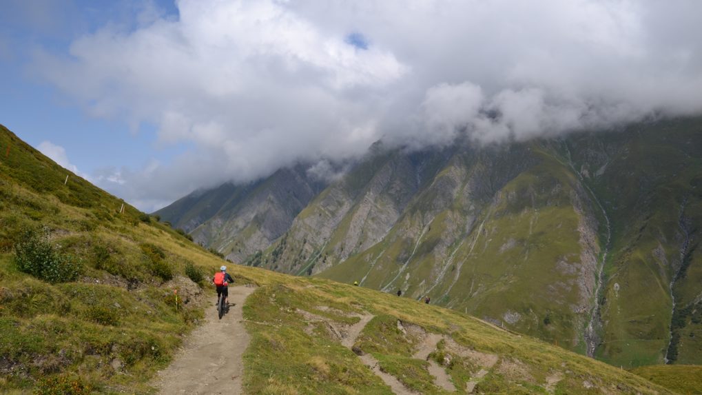
The departure is from the idyllic village of Champex-Lac, located at 1467 m altitude. The route takes you to the Italian border, at 2537 meters altitude, passing through the villages of Issert, Praz-de-Fort, and La Fouly. If you want to enjoy a well-deserved break, stop at the Peule alpine pasture. Then continue your ascent to the Grand Col Ferret, located at the Italo-Swiss border. Once at the top, you can either continue towards Courmayeur in Italy or return the same way.
Itinerary
Best period to go there
Prestations
Directions
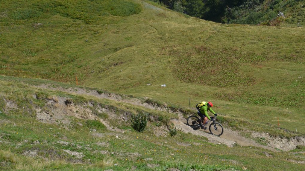
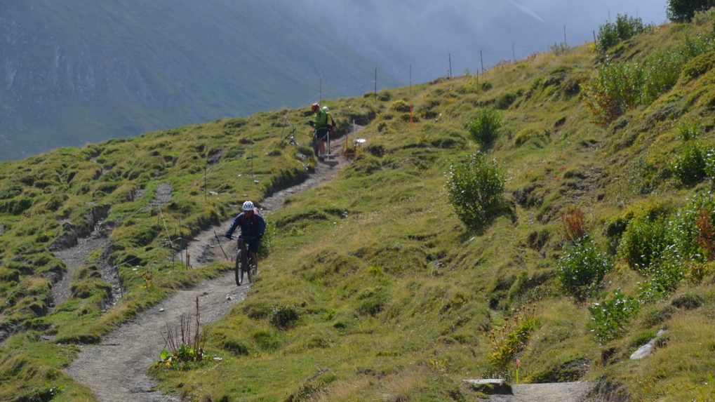
The route begins by crossing the Champex-Lac resort along the main road, where you can enjoy the view of the lake and the Combins massif. On the descent to Orsières, after the first 2 bends, take the dirt path on the right that descends to the Val Ferret canton road. Then, before entering the village of Issert, turn left and pass over the village to reach Praz-de-Fort. Cross the Saleinaz plateau and take the main road for 200 meters. Then turn left. You will find the canton road at Branche d’en Bas. Cross to the left side of the river at Branche d’en Haut, then again to the right side crossing the canton road and the hamlet of Prayon. Then, through the forest, reach La Fouly. Then head toward Ferret, then Ars Dessous, before turning right onto the dirt road that crosses the river and climbs to the Peule alpine pasture. Finally, follow the path leading to the Grand Col Ferret.
Getting there
Martigny motorway exit. Follow Gd-St-Bernard, then at Orsières, turn right towards Champex-Lac.
The departure and arrival points are different, which is why we recommend using public transport to get to the departure point. The Champex-Lac cable car parking is free.
Train to Orsières, then TMR bus to Champex-Lac or La Fouly. Remember to book a spot for your mountain bike via the CFF mobile app or on cff.ch.