Except the Vichères rando parc, these routes are neither marked nor secure. Anyone using ski touring routes is solely responsible for their own actions. Pays du St-Bernard declines all responsibility in the event of an accident and gives no guarantee as to the topicality, accuracy or completeness of the information provided.
Be accompanied by a certified mountain guide. Find their contact details on here.
Consult the avalanche bulletin by clicking here!
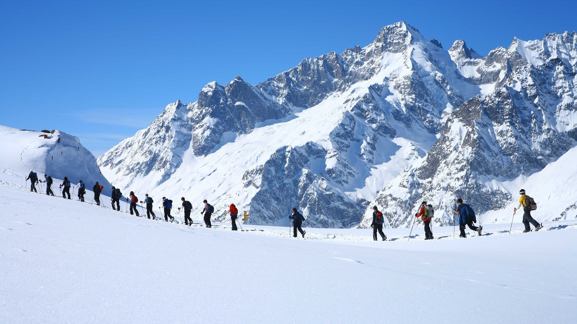
Varied route in the forest and partly on the ski area of Télés Vichères-Liddes.
Itinerary
Best period to go there
Prestations
Directions
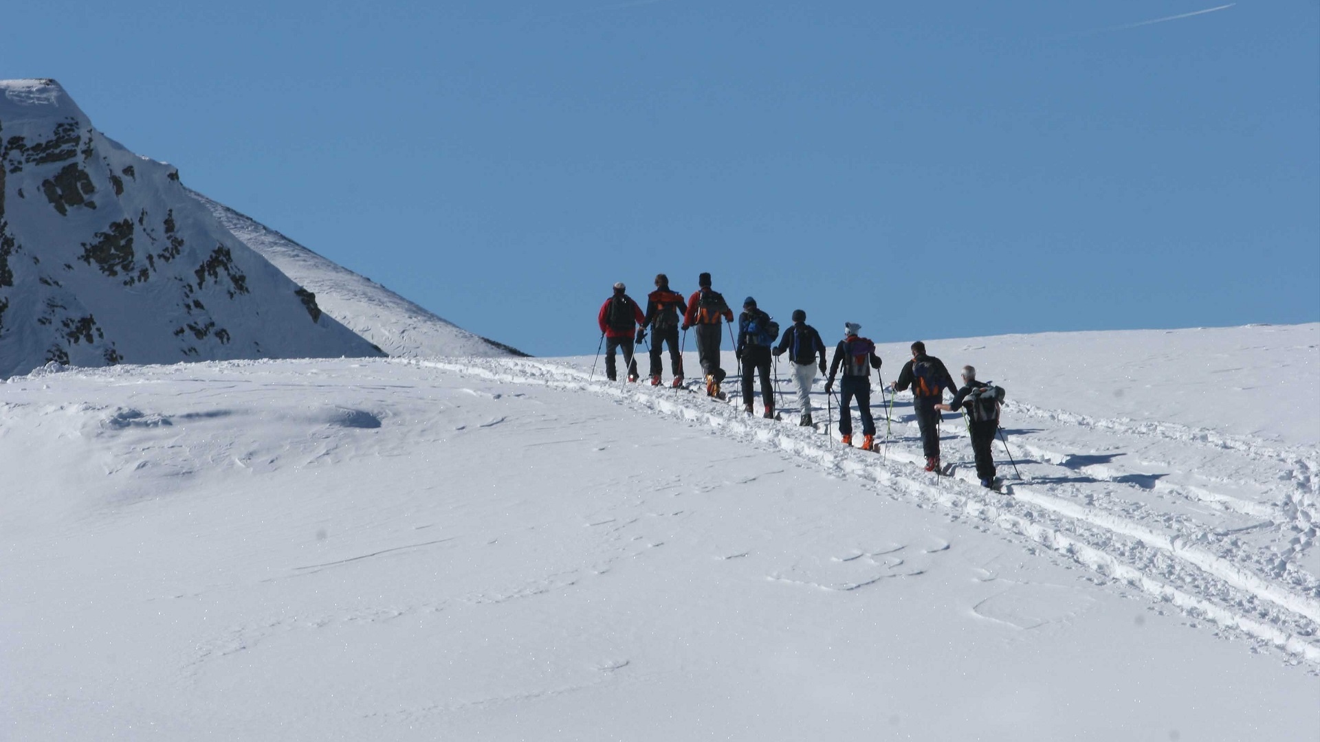
Start first on the ski route to the north then leave it at a bend by continuing straight ahead. After the clearing, take the path to the left that makes a semicircle around the 1822-meter point to then turn south and reach the “snow bar.” Climb the ski slope along the ridge to the top of the Chaux ski lift, then continue always along the ridge before turning left to reach the summit of the Tour de Bavon.
This route can be significantly shortened by using the ski lifts.
Getting there
Exit the motorway at Martigny.
Follow the direction Grand-Saint-Bernard to Liddes.
Turn right after the tourist office.
Reach Dranse then go up to the start of the Vichères-Liddes chairlift.
Free parking at the start of the ski lifts
Take the train to Orsières then the bus to Vichères (only in winter)
Check the schedules at www.sbb.ch