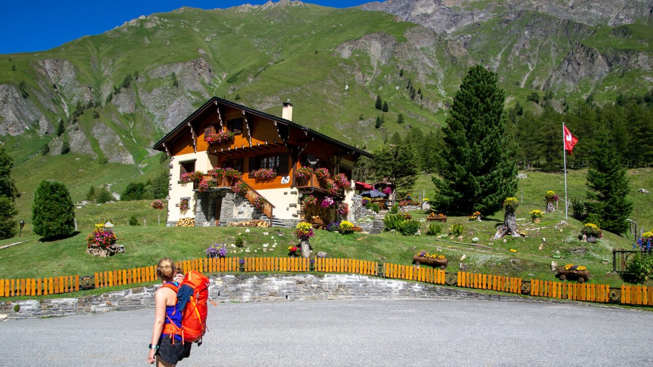
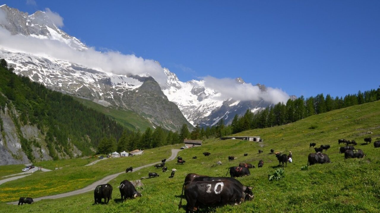
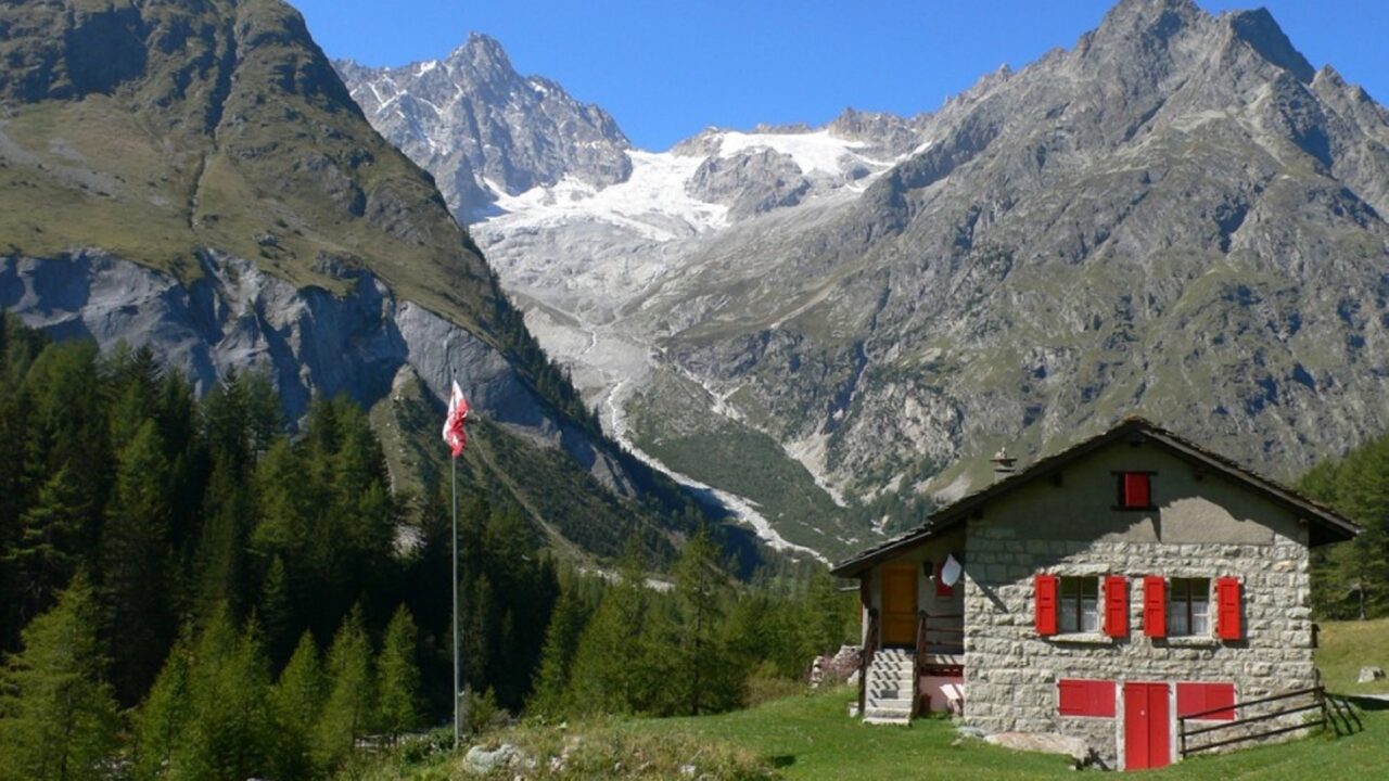
3 countries, one mountain identity 10,000 meters of elevation gain and about 60 hours of walking, 170 km of discovery for 7 to 10 days of happiness!
The Mont-Blanc massif fascinates. Make a tour of it and discover the world of high mountains, its peaks over 4,000 meters, its nearby glaciers, its 3 countries with cultures both different and so close.
From the lakeside resort of Champex-Lac to the cosmopolitan Chamonix, from the southern atmosphere of Courmayeur to the wild Italian and Swiss Val Ferret, you will meet its inhabitants who will gladly share their happiness of living there!
Itinerary
Best period to go there
Prestations
Author\s note
Champex-Lac is an ideal place to start your Tour du Mont-Blanc!
Directions
Main key points of the TMB from Champex-Lac (classic counterclockwise route):
Champex-Lac – Upper Champex – Plan-de-l’Au – Bovine – Col de la Forclaz
Variant: Champex-Lac – Arpette – Fenêtre d’Arpette – Chalet du Glacier – Col de la Forclaz
Col de la Forclaz – Trient – Peuty – Col de la Balme – Col des Posettes – Tré-le-Champ
Variant: Trient – Vallorcine – Buet – Col des Montets – Tré-le-Champ
La Flégère – Col du Brévent – Les Houches
Les Houches – Col de Voza – Bionnassay – Champel – Tresse – Les Contamines-Montjoie
Variant: Col de Voza – Col de Tricot – Chalets de Miage – Truc – Les Contamines-Montjoie
Les Contamines-Montjoie – Notre-Dame-de-la-Gorge – Nant Borrant – La Balme – Col du Bonhomme – Col de la Croix du Bonhomme – Les Chapieux – La Ville des Glaciers – Mottets – Col de la Seigne – la Casermetta – Refuge Elisabetta
Variant: Col de la Croix du Bonhomme – Col de Fours – Ville des Glaciers – Balme – Chapieux – Col de la Seigne – Refuge Elisabetta
Refuge Elisabetta – Lac Combal – Upper Arp-Vieille – Lac Chécrouit – Col Chécrouit – Plan Chécrouit – Dolonne – Courmayeur – Villair – Bertone refuge – Bonatti refuge
Variant: Bertone – Tête Bernarda – Col Sapin – Pas d’Entre-Deux-Sauts – Malatra – Bonatti
Bonatti – Arnouva – Refuge Elena – Grand Col Ferret – La Peule – La Léchère
Variant: Refuge Elena – Petit Col Ferret – La Léchère
La Léchère – La Fouly – Praz-de-Fort – Issert – Champex-Lac: possibility to cross the Swiss Val Ferret on the right bank with a magnificent view of the Dolent massif, a border mountain between France, Italy, and Switzerland.
Getting there
Exit the highway at Martigny. Follow the direction Grand-Saint-Bernard then exit the main road at Orsières and follow Champex-Lac.
It is also possible to exit the main road at Bovernier and go through the Valettes but the road is narrow and very winding.
Large free parking at the foot of the chairlift.
Take the train to Orsières then the bus to Champex-Lac.
Check schedules at www.sbb.ch