Except the Vichères rando parc, these routes are neither marked nor secure. Anyone using ski touring routes is solely responsible for their own actions. Pays du St-Bernard declines all responsibility in the event of an accident and gives no guarantee as to the topicality, accuracy or completeness of the information provided.
Be accompanied by a certified mountain guide. Find their contact details on here.
Consult the avalanche bulletin by clicking here!
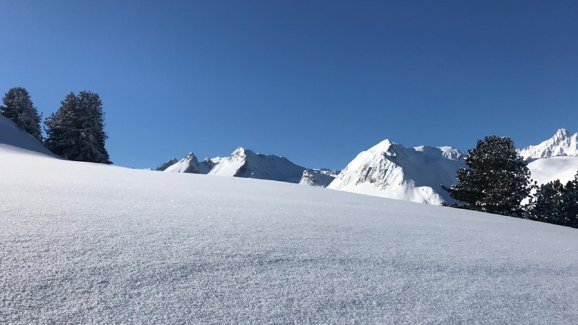
Beautiful route partly through forest to reach a well-known summit in the region
Itinerary
Best period to go there
Prestations
Author\s note
Have a certified mountain guide accompany you. Find their contact details by clicking here.
Directions
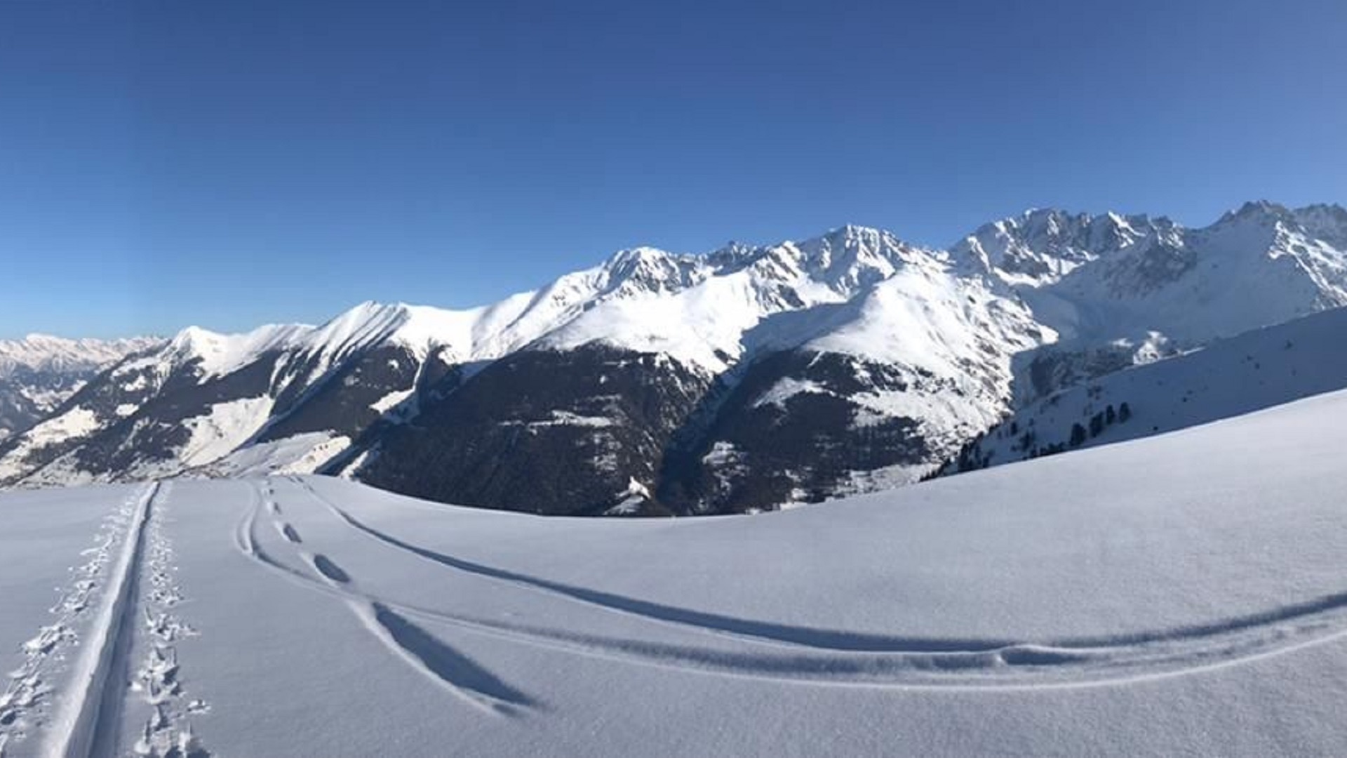
Go up southwest through the meadows to the ridge at the place called “Tomelet”. Then take full south, cross the Plan Devant plateau and reach the summit via the northeast ridge.
Getting there
Exit the highway at Martigny.
Follow the direction Grand-Saint-Bernard to Liddes.
Turn right after the tourist office.
Reach Dranse then go up to the start of the Vichères-Liddes chairlift.
Free parking at Dranse
Take the train to Orsières then the bus to Dranse (only in winter)
Check schedules at www.sbb.ch